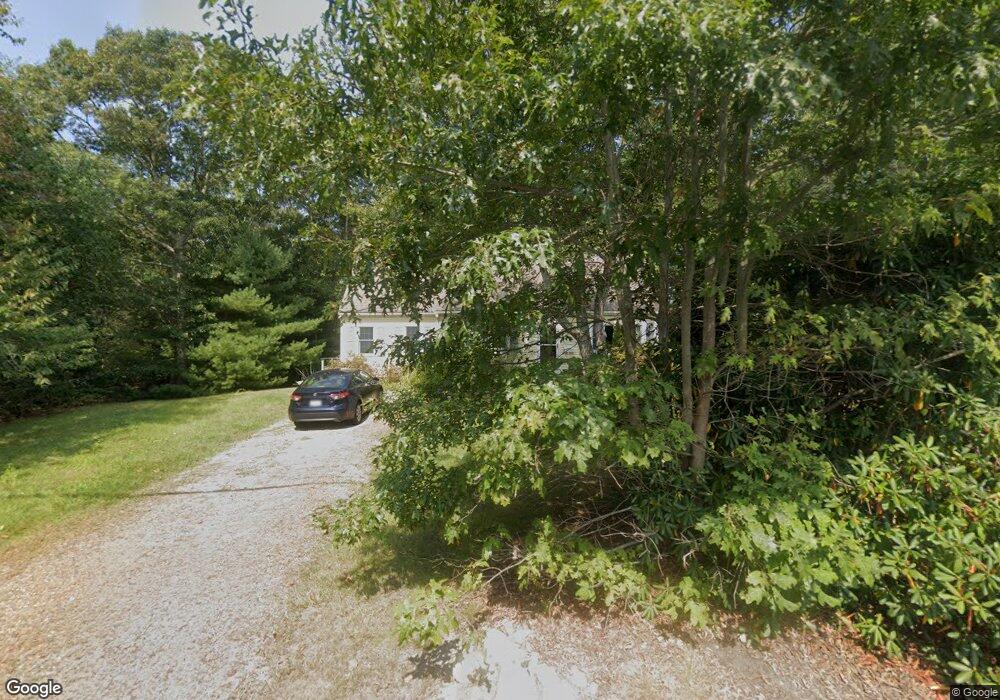
177 Fuller Rd Centerville, MA 02632
Centerville NeighborhoodEstimated Value: $653,760 - $706,000
3
Beds
3
Baths
1,621
Sq Ft
$419/Sq Ft
Est. Value
About This Home
This home is located at 177 Fuller Rd, Centerville, MA 02632 and is currently estimated at $678,940, approximately $418 per square foot. 177 Fuller Rd is a home located in Barnstable County with nearby schools including Centerville Elementary School, Barnstable United Elementary School, and Barnstable Intermediate School.
Ownership History
Date
Name
Owned For
Owner Type
Purchase Details
Closed on
Dec 19, 2024
Sold by
Morrill Pamela
Bought by
Pamela Jo Morrill Lt and Morrill
Current Estimated Value
Purchase Details
Closed on
Jun 15, 1985
Bought by
Morrill Pamela
Create a Home Valuation Report for This Property
The Home Valuation Report is an in-depth analysis detailing your home's value as well as a comparison with similar homes in the area
Home Values in the Area
Average Home Value in this Area
Purchase History
We collect this data history from publicly available records. To have your information removed, we recommend requesting removal directly through your county’s website.
| Date | Buyer | Sale Price | Title Company |
|---|---|---|---|
| Pamela Jo Morrill Lt | -- | None Available | |
| Pamela Jo Morrill Lt | -- | None Available | |
| Morrill Pamela | -- | -- |
Source: Public Records
Tax History
| Year | Tax Paid | Tax Assessment Tax Assessment Total Assessment is a certain percentage of the fair market value that is determined by local assessors to be the total taxable value of land and additions on the property. | Land | Improvement |
|---|---|---|---|---|
| 2025 | $4,497 | $555,900 | $173,600 | $382,300 |
| 2024 | $4,176 | $534,700 | $173,600 | $361,100 |
| 2023 | $4,122 | $494,200 | $171,500 | $322,700 |
| 2022 | $3,770 | $391,100 | $122,000 | $269,100 |
| 2021 | $3,670 | $349,900 | $122,000 | $227,900 |
| 2020 | $3,784 | $345,300 | $122,000 | $223,300 |
| 2019 | $3,628 | $321,600 | $122,000 | $199,600 |
| 2018 | $3,415 | $304,400 | $133,700 | $170,700 |
| 2017 | $3,162 | $293,900 | $133,700 | $160,200 |
| 2016 | $3,214 | $294,900 | $134,700 | $160,200 |
| 2015 | $3,126 | $288,100 | $130,100 | $158,000 |
Source: Public Records
Map
Nearby Homes
- 53 Meadow Farm Rd
- 52 Meadow Farm Rd
- 1309 Shootflying Hill Rd
- 1309 Shootflying Hill Rd
- 51 Larch Ln
- 22 Longfellow Dr
- 54 Rainbow Dr
- 344 Main St Unit 5
- 123 Old Post Rd
- 562 Skunknet Rd
- 19 Marrick Ct
- 175 Old Post Rd
- 1115 Shootflying Hill Rd
- 129 Park Ave
- 493 Prince Hinckley Rd
- 27 Lietrim Cir
- 159 Willow Run Dr
- 58 Sachem Dr
- 172 Skunknet Rd
- 38 White Oak Trail
- 256 Fuller Rd
- 1941 Falmouth Rd
- 190 Fuller Rd
- 163 Fuller Rd
- 164 Fuller Rd
- 195 Fuller Rd
- 1875 Falmouth Rd
- 139 Emerson Way
- 132 Emerson Way
- 156 Fuller Rd
- 9 Marie-Ann Terrace
- 149 Fuller Rd
- 9 Marie Ann Terrace
- 129 Emerson Way
- 23 Marie-Ann Terrace
- 139 Longfellow Dr
- 23 Marie Ann Terrace
- 21 Winns Way
- 140 Fuller Rd
- 139 Fuller Rd
Your Personal Tour Guide
Ask me questions while you tour the home.