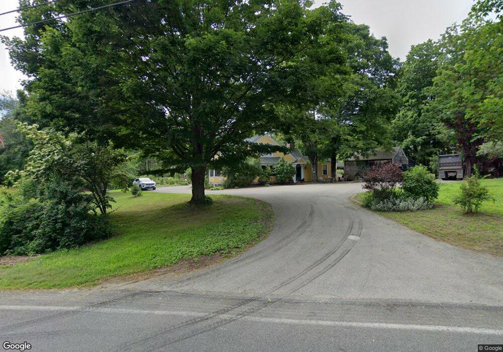
177 Kendall Rd Tyngsboro, MA 01879
Estimated Value: $652,983 - $837,000
5
Beds
2
Baths
2,986
Sq Ft
$256/Sq Ft
Est. Value
About This Home
This home is located at 177 Kendall Rd, Tyngsboro, MA 01879 and is currently estimated at $764,246, approximately $255 per square foot. 177 Kendall Rd is a home located in Middlesex County with nearby schools including Tyngsborough Elementary School, Tyngsborough Middle School, and Innovation Academy Charter School.
Ownership History
Date
Name
Owned For
Owner Type
Purchase Details
Closed on
Jun 28, 2024
Sold by
Morton Herbert F and Morton Deborah L
Bought by
Morton
Current Estimated Value
Purchase Details
Closed on
Aug 26, 1998
Sold by
Morton Charles A and Morton Juanita E
Bought by
Morton Herbert F and Morton Deborah L
Home Financials for this Owner
Home Financials are based on the most recent Mortgage that was taken out on this home.
Original Mortgage
$117,000
Interest Rate
6.9%
Mortgage Type
Purchase Money Mortgage
Create a Home Valuation Report for This Property
The Home Valuation Report is an in-depth analysis detailing your home's value as well as a comparison with similar homes in the area
Home Values in the Area
Average Home Value in this Area
Purchase History
| Date | Buyer | Sale Price | Title Company |
|---|---|---|---|
| Morton | -- | None Available | |
| Morton | -- | None Available | |
| Morton Herbert F | $80,000 | -- | |
| Morton Herbert F | $80,000 | -- |
Source: Public Records
Mortgage History
| Date | Status | Borrower | Loan Amount |
|---|---|---|---|
| Previous Owner | Morton Herbert F | $117,000 |
Source: Public Records
Tax History Compared to Growth
Tax History
| Year | Tax Paid | Tax Assessment Tax Assessment Total Assessment is a certain percentage of the fair market value that is determined by local assessors to be the total taxable value of land and additions on the property. | Land | Improvement |
|---|---|---|---|---|
| 2025 | $62 | $500,600 | $238,900 | $261,700 |
| 2024 | $6,041 | $474,900 | $227,500 | $247,400 |
| 2023 | $6,094 | $431,000 | $190,500 | $240,500 |
| 2022 | $5,948 | $398,100 | $166,500 | $231,600 |
| 2021 | $14,252 | $365,100 | $151,200 | $213,900 |
| 2020 | $33,020 | $361,000 | $151,200 | $209,800 |
| 2019 | $5,683 | $335,700 | $144,700 | $191,000 |
| 2018 | $5,562 | $325,100 | $144,700 | $180,400 |
| 2017 | $5,304 | $309,100 | $144,700 | $164,400 |
| 2016 | $5,045 | $287,300 | $122,900 | $164,400 |
| 2015 | $4,617 | $272,200 | $122,900 | $149,300 |
Source: Public Records
Map
Nearby Homes
- 0 Lowell St
- 4 Strawberry Bank Rd Unit 12
- 51 Farwell Rd
- 2 Strawberry Bank Rd Unit 17
- 7 Axletree Rd
- 4 Heritage Village Dr Unit 211
- 56 Frost Rd
- 210 Brook Village Rd Unit U43
- 454 Dunstable Rd
- 46 Pawtucket Blvd Unit 37
- 33 Phalanx St
- 75 Frost Rd
- 52 Pawtucket Blvd Unit 21
- 45 Red Gate Rd
- 1 Wintergreen Dr
- 15 Norris Rd
- 17 Norris Rd
- 28 Juniper Ln Unit 65
- 11 Juniper Ln Unit 14
- 22 Juniper Ln Unit 66