177 Kennebec Point Rd Georgetown, ME 04548
Georgetown NeighborhoodEstimated Value: $747,000
--
Bed
--
Bath
--
Sq Ft
1.9
Acres
About This Home
This home is located at 177 Kennebec Point Rd, Georgetown, ME 04548 and is currently priced at $747,000. 177 Kennebec Point Rd is a home.
Ownership History
Date
Name
Owned For
Owner Type
Purchase Details
Closed on
Aug 21, 2014
Sold by
Red Gables Llc
Bought by
Carlisle Lt and Carlisle
Current Estimated Value
Purchase Details
Closed on
Nov 3, 2009
Sold by
Carlisle Polly H
Bought by
Carlis-Lehunt Katie P and Carlisle 4Th John L
Home Financials for this Owner
Home Financials are based on the most recent Mortgage that was taken out on this home.
Original Mortgage
$0
Interest Rate
5.06%
Mortgage Type
Purchase Money Mortgage
Create a Home Valuation Report for This Property
The Home Valuation Report is an in-depth analysis detailing your home's value as well as a comparison with similar homes in the area
Home Values in the Area
Average Home Value in this Area
Purchase History
| Date | Buyer | Sale Price | Title Company |
|---|---|---|---|
| Carlisle Lt | -- | -- | |
| Carlisle Lt | -- | -- | |
| Carlis-Lehunt Katie P | -- | -- | |
| Carlis-Lehunt Katie P | -- | -- |
Source: Public Records
Mortgage History
| Date | Status | Borrower | Loan Amount |
|---|---|---|---|
| Previous Owner | Carlis-Lehunt Katie P | $0 | |
| Closed | Carlis-Lehunt Katie P | $0 |
Source: Public Records
Tax History Compared to Growth
Tax History
| Year | Tax Paid | Tax Assessment Tax Assessment Total Assessment is a certain percentage of the fair market value that is determined by local assessors to be the total taxable value of land and additions on the property. | Land | Improvement |
|---|---|---|---|---|
| 2024 | $8,840 | $1,468,500 | $1,172,100 | $296,400 |
| 2023 | $6,298 | $645,900 | $473,700 | $172,200 |
| 2022 | $5,711 | $646,000 | $473,800 | $172,200 |
| 2021 | $5,330 | $646,000 | $473,800 | $172,200 |
| 2020 | $5,233 | $646,000 | $473,800 | $172,200 |
| 2019 | $5,039 | $646,000 | $473,800 | $172,200 |
| 2018 | $4,974 | $646,000 | $473,800 | $172,200 |
| 2017 | $4,942 | $646,000 | $473,800 | $172,200 |
| 2016 | $4,942 | $646,000 | $473,800 | $172,200 |
| 2015 | $4,767 | $645,900 | $473,700 | $172,200 |
| 2014 | $4,767 | $645,900 | $473,700 | $172,200 |
| 2013 | $4,586 | $645,900 | $473,700 | $172,200 |
Source: Public Records
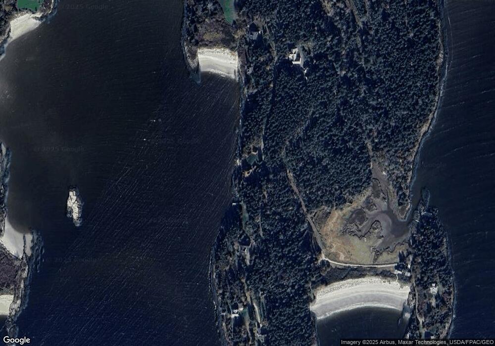
Map
Nearby Homes
- 823 Popham Rd
- Lot 5 Sagamore Dr
- Lot 5 Sagamore Dr Unit 5
- Lot 3 Sagamore Dr Unit 3
- Lot 3 Sagamore Dr
- 218 Sam Day Hill Rd
- 28 Bay Point Rd
- 1682 Main Rd
- 7-1 Wrong Way Dr
- 312 Small Point Rd
- Lot 17A Snowman Ln
- 15 Church Ln
- 65 Shell Rd
- 12 Spruce Gum Ln
- 1 Plum Ln Unit D
- 15 Blueberry Hill Rd
- 25 Echo Ln
- 25 N End Rd
- 17-1 Bald Head Rd
- 22 Gray Rd
- 201 Kennebec Point Rd
- 153 Kennebec Point Rd
- 146 Kennebec Point Rd
- 211 Kennebec Point Rd
- 218 Kennebec Point Rd
- 221 Kennebec Point Rd
- 222 Kennebec Point Rd
- 57 Little Harbor Head Ln
- 237 Kennebec Point Rd
- 54 Little Harbor Head Ln
- 244 Kennebec Point Rd
- 122 Kennebec Point Rd
- 710 Bay Point Rd
- 119 Kennebec Point Rd
- 20 Spud Walks Ln
- 40 Spud Walks Ln
- 108 Kennebec Point Rd
- 28 First Beach Rd
- 36 First Beach Rd
- 20 Browns Ln