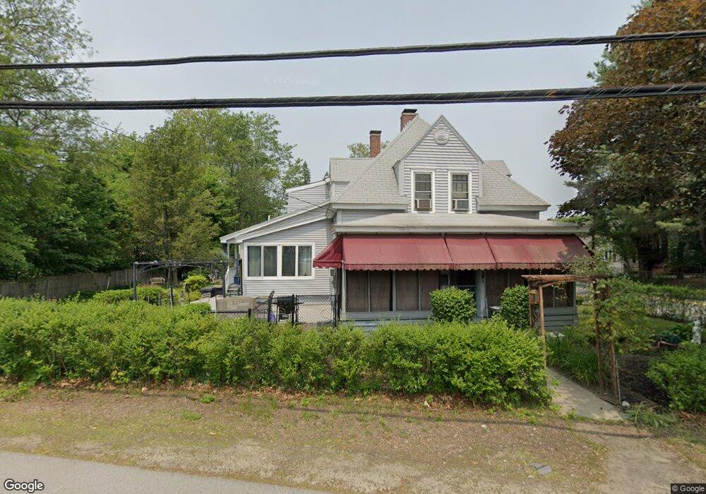
177 Kinsley St Unit 162165 Nashua, NH 03060
South End Nashua NeighborhoodEstimated Value: $519,000 - $586,000
4
Beds
3
Baths
1,992
Sq Ft
$271/Sq Ft
Est. Value
About This Home
This home is located at 177 Kinsley St Unit 162165, Nashua, NH 03060 and is currently estimated at $539,953, approximately $271 per square foot. 177 Kinsley St Unit 162165 is a home located in Hillsborough County with nearby schools including Ledge Street Elementary School, Fairgrounds Middle School, and Nashua High School South.
Ownership History
Date
Name
Owned For
Owner Type
Purchase Details
Closed on
Jul 22, 2013
Sold by
Clemons Michael R and Clemons Jane A
Bought by
Clemons Ft and Clemons
Current Estimated Value
Purchase Details
Closed on
Jul 22, 1983
Bought by
Clemons Ft
Create a Home Valuation Report for This Property
The Home Valuation Report is an in-depth analysis detailing your home's value as well as a comparison with similar homes in the area
Home Values in the Area
Average Home Value in this Area
Purchase History
| Date | Buyer | Sale Price | Title Company |
|---|---|---|---|
| Clemons Ft | -- | -- | |
| Clemons Ft | -- | -- | |
| Clemons Ft | $65,900 | -- |
Source: Public Records
Tax History Compared to Growth
Tax History
| Year | Tax Paid | Tax Assessment Tax Assessment Total Assessment is a certain percentage of the fair market value that is determined by local assessors to be the total taxable value of land and additions on the property. | Land | Improvement |
|---|---|---|---|---|
| 2024 | $7,258 | $456,500 | $147,900 | $308,600 |
| 2023 | $7,174 | $393,500 | $118,300 | $275,200 |
| 2022 | $7,111 | $393,500 | $118,300 | $275,200 |
| 2021 | $6,040 | $260,100 | $78,800 | $181,300 |
| 2020 | $5,881 | $260,100 | $78,800 | $181,300 |
| 2019 | $5,660 | $260,100 | $78,800 | $181,300 |
| 2018 | $5,517 | $260,100 | $78,800 | $181,300 |
| 2017 | $5,228 | $202,700 | $80,100 | $122,600 |
| 2016 | $5,082 | $202,700 | $80,100 | $122,600 |
| 2015 | $4,972 | $202,700 | $80,100 | $122,600 |
| 2014 | $4,875 | $202,700 | $80,100 | $122,600 |
Source: Public Records
Map
Nearby Homes
- 22 New Dunstable Rd Unit 132133
- 41 New Dunstable Rd Unit 371
- 22 Kern Dr
- 169A W Hollis St Unit 193
- 11 Bordeaux St
- 4 Badger St
- 97 Linwood St
- 22 Wilder St
- 121 Palm St
- 30 Ledge St
- 63 Dexter St
- 247 Main Dunstable Rd
- 38 Central St
- 8 Buck St Unit 10
- 15 Lovell St Unit 20
- 15 Lovell St Unit 3
- 15 Lovell St Unit 7
- 15 Lovell St Unit 10
- 7 Bitirnas St Unit U7
- 4 Henry David Dr Unit 203
- 29 Pershing St
- 30 Edwards St
- 1 Wason Ave
- 176 Kinsley St
- 30 Pershing St Unit 172173
- 26 Edwards St Unit 114115
- 176B Kinsley St
- 179 Kinsley St
- 28 Pershing St Unit 175176
- 25 Pershing St Unit 153157
- 175 Kinsley St Unit 167170
- 32-34 Kingsley St (C-593-3)
- 24 Pershing St Unit 178179
- 181 Kinsley St Unit 103105
- 25 Markar St Unit 228229
- 20 Edwards St Unit 117122
- 178A Kinsley St Unit 125
- 3 Wason Ave
- 21 Markar St Unit 223226
- 22 Pershing St Unit 181182