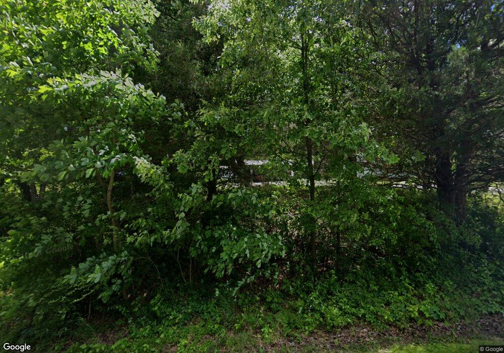
177 Mansfield Rd Martin, TN 38237
Estimated Value: $248,000 - $358,000
--
Bed
3
Baths
1,968
Sq Ft
$162/Sq Ft
Est. Value
About This Home
This home is located at 177 Mansfield Rd, Martin, TN 38237 and is currently estimated at $319,637, approximately $162 per square foot. 177 Mansfield Rd is a home located in Weakley County.
Ownership History
Date
Name
Owned For
Owner Type
Purchase Details
Closed on
Dec 13, 1990
Bought by
Yarbro James W and Yarbro Melanie C
Current Estimated Value
Create a Home Valuation Report for This Property
The Home Valuation Report is an in-depth analysis detailing your home's value as well as a comparison with similar homes in the area
Home Values in the Area
Average Home Value in this Area
Purchase History
| Date | Buyer | Sale Price | Title Company |
|---|---|---|---|
| Yarbro James W | $9,300 | -- |
Source: Public Records
Tax History Compared to Growth
Tax History
| Year | Tax Paid | Tax Assessment Tax Assessment Total Assessment is a certain percentage of the fair market value that is determined by local assessors to be the total taxable value of land and additions on the property. | Land | Improvement |
|---|---|---|---|---|
| 2024 | $997 | $72,775 | $8,650 | $64,125 |
| 2023 | $997 | $72,775 | $8,650 | $64,125 |
| 2022 | $847 | $42,925 | $5,200 | $37,725 |
| 2021 | $847 | $42,925 | $5,200 | $37,725 |
| 2020 | $847 | $42,925 | $5,200 | $37,725 |
| 2019 | $847 | $42,925 | $5,200 | $37,725 |
| 2018 | $847 | $42,925 | $5,200 | $37,725 |
| 2017 | $944 | $44,300 | $4,500 | $39,800 |
| 2016 | $944 | $44,300 | $0 | $0 |
| 2015 | $944 | $44,296 | $0 | $0 |
| 2014 | $944 | $44,296 | $0 | $0 |
Source: Public Records
Map
Nearby Homes
- 7991 Tennessee 118
- 0 Buck Mason Rd Unit Map 015, Parcel 007.
- 5064 Tennessee 118
- 380 State Line Rd
- 4500 Austin Springs Rd
- 00 Works Rd
- 00 Kentucky 94
- 9627 E State Line
- 2540 Ralston Rd
- 471 Pierce Rd
- 2021 Hyndsver Rd
- 413 Honey Locust Dr
- 0
- 507 Vancil St
- 101 Meadowview Dr
- 508 Vancil St
- 2096 Lee Rd
- 0 State Route 129
- 2471 State Route 94 W
- 803 Walnut St
