177 Mark Rd Roswell, NM 88201
Estimated Value: $205,000 - $371,000
Studio
2
Baths
2,400
Sq Ft
$120/Sq Ft
Est. Value
About This Home
This home is located at 177 Mark Rd, Roswell, NM 88201 and is currently estimated at $288,000, approximately $120 per square foot. 177 Mark Rd is a home located in Chaves County with nearby schools including El Capitan Elementary School, Sierra Middle School, and Goddard High School.
Ownership History
Date
Name
Owned For
Owner Type
Purchase Details
Closed on
Feb 21, 2023
Sold by
Parker Larry C and Parker Robin R
Bought by
Buckelew Cody In and Buckelew Hannah R
Current Estimated Value
Home Financials for this Owner
Home Financials are based on the most recent Mortgage that was taken out on this home.
Original Mortgage
$205,000
Interest Rate
5.5%
Mortgage Type
Construction
Purchase Details
Closed on
May 18, 2021
Sold by
Rhea J H J and Rhea Roxanne T
Bought by
Parker Robin R
Create a Home Valuation Report for This Property
The Home Valuation Report is an in-depth analysis detailing your home's value as well as a comparison with similar homes in the area
Purchase History
| Date | Buyer | Sale Price | Title Company |
|---|---|---|---|
| Buckelew Cody In | -- | -- | |
| Parker Robin R | -- | None Listed On Document |
Source: Public Records
Mortgage History
| Date | Status | Borrower | Loan Amount |
|---|---|---|---|
| Closed | Buckelew Cody In | $205,000 |
Source: Public Records
Tax History
| Year | Tax Paid | Tax Assessment Tax Assessment Total Assessment is a certain percentage of the fair market value that is determined by local assessors to be the total taxable value of land and additions on the property. | Land | Improvement |
|---|---|---|---|---|
| 2025 | $1,041 | $49,689 | $5,754 | $43,935 |
| 2024 | $1,041 | $48,242 | $5,727 | $42,515 |
| 2023 | $1,039 | $46,837 | $5,699 | $41,138 |
| 2022 | $1,003 | $45,473 | $5,483 | $39,990 |
| 2021 | $975 | $44,149 | $5,077 | $39,072 |
| 2020 | $947 | $42,863 | $4,588 | $38,275 |
| 2019 | $918 | $41,615 | $3,999 | $37,616 |
| 2018 | $889 | $40,403 | $3,482 | $36,921 |
| 2017 | $857 | $39,226 | $2,941 | $36,285 |
| 2016 | $824 | $38,084 | $2,421 | $35,663 |
| 2015 | $894 | $36,975 | $1,945 | $35,030 |
| 2014 | $2,145 | $43,099 | $8,656 | $34,443 |
Source: Public Records
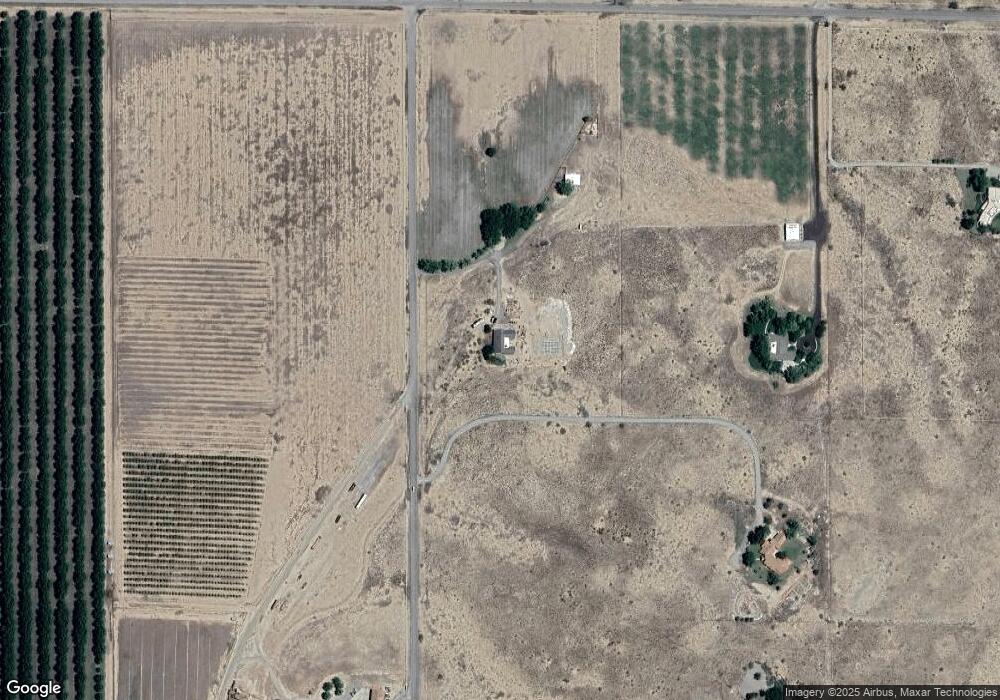
Map
Nearby Homes
- 34 Townsend Trail
- 0 Flying h Way
- 000 Dandelion Ln
- 270 Peaceful Valley Rd
- 36 Haley Cir
- 5234 W Country Club Rd
- 0000 Avenida de Vista St
- 5037 W Berrendo Rd
- 26 Mark Rd
- 3048 Ruth Ave
- 4608 W 2nd St
- 1014 Leslie Ln
- 3509 Carol Ann Way
- 103 Avenue D
- 1005 Mullis St
- 4601 Kiva Ln
- 3201 Bradley Dr
- 2806 W Country Club Rd
- 4608 Apache Hills Dr
- 3303 Riverside Dr
- 181 Mark Rd
- 5082 W Country Club Rd
- 169 Mark Rd
- 154 Mark Rd
- 5107 W Country Club Rd
- 5113 W Country Club Rd
- 5083 Bright Sky Rd
- 5070 W Country Club Rd
- 5081 W Country Club Rd
- 5062 Bright Sky Rd
- 5087 W Country Club Rd
- 5065 Bright Sky Rd Unit B
- 5121 W Country Club Rd
- 5050 W Country Club Rd
- 5052 W Country Club Rd
- 216 Mark Rd
- 220 Mark Rd
- 000 Mark Rd
- 124 Mark Rd
Your Personal Tour Guide
Ask me questions while you tour the home.