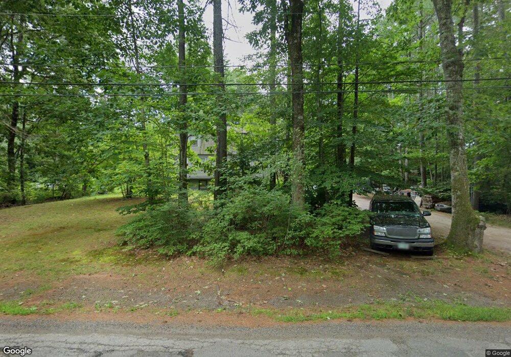
177 Mast Rd Epping, NH 03042
Estimated Value: $548,800 - $654,000
3
Beds
2
Baths
1,884
Sq Ft
$323/Sq Ft
Est. Value
About This Home
This home is located at 177 Mast Rd, Epping, NH 03042 and is currently estimated at $609,450, approximately $323 per square foot. 177 Mast Rd is a home located in Rockingham County with nearby schools including Epping Elementary School, Epping Middle School, and Epping High School.
Ownership History
Date
Name
Owned For
Owner Type
Purchase Details
Closed on
Oct 7, 1996
Sold by
Pfaff Charles E
Bought by
Roberts Francis A
Current Estimated Value
Home Financials for this Owner
Home Financials are based on the most recent Mortgage that was taken out on this home.
Original Mortgage
$111,145
Interest Rate
7.9%
Create a Home Valuation Report for This Property
The Home Valuation Report is an in-depth analysis detailing your home's value as well as a comparison with similar homes in the area
Home Values in the Area
Average Home Value in this Area
Purchase History
| Date | Buyer | Sale Price | Title Company |
|---|---|---|---|
| Roberts Francis A | $112,000 | -- |
Source: Public Records
Mortgage History
| Date | Status | Borrower | Loan Amount |
|---|---|---|---|
| Open | Roberts Francis A | $167,887 | |
| Closed | Roberts Francis A | $111,145 |
Source: Public Records
Tax History
| Year | Tax Paid | Tax Assessment Tax Assessment Total Assessment is a certain percentage of the fair market value that is determined by local assessors to be the total taxable value of land and additions on the property. | Land | Improvement |
|---|---|---|---|---|
| 2024 | $6,999 | $277,400 | $109,000 | $168,400 |
| 2023 | $6,491 | $277,400 | $109,000 | $168,400 |
| 2022 | $6,239 | $277,400 | $109,000 | $168,400 |
| 2021 | $6,219 | $277,400 | $109,000 | $168,400 |
| 2020 | $6,454 | $273,000 | $109,000 | $164,000 |
| 2019 | $5,953 | $214,900 | $90,600 | $124,300 |
| 2018 | $5,575 | $214,900 | $90,600 | $124,300 |
| 2017 | $566 | $214,900 | $90,600 | $124,300 |
| 2016 | $5,575 | $214,900 | $90,600 | $124,300 |
| 2015 | $5,575 | $214,900 | $90,600 | $124,300 |
| 2014 | $5,150 | $210,900 | $95,000 | $115,900 |
| 2013 | $5,119 | $210,900 | $95,000 | $115,900 |
Source: Public Records
Map
Nearby Homes
- 7 Chapman Way
- 20 Indian River Rd
- 153 Coffin Rd Unit 5
- 153 Coffin Rd Unit 19
- 153 Coffin Rd Unit 24
- 303 Friar Tuck Dr
- 426 Friar Tuck Dr
- 23 Camp Lee Rd
- 5 Ridge Rd
- 14 Hilton Dr
- 43 Abbey Rd Unit 43
- 71 Deer Hill Rd
- 0 Pine Rd Unit 73192426
- 0 Pine Rd Unit 12
- 00 Piscassic & Oaklands Rd Unit 1
- 187 Grant Rd
- 0 Autumn Ln
- 290 Calef Hwy Unit B21
- 31 Longmeadow Dr
- 20 Beech Hill Rd Unit 11
Your Personal Tour Guide
Ask me questions while you tour the home.