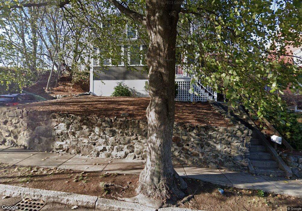
177 Mount Vernon St Arlington, MA 02476
Arlington Heights NeighborhoodEstimated Value: $1,163,023 - $1,252,000
3
Beds
2
Baths
1,827
Sq Ft
$656/Sq Ft
Est. Value
About This Home
This home is located at 177 Mount Vernon St, Arlington, MA 02476 and is currently estimated at $1,199,256, approximately $656 per square foot. 177 Mount Vernon St is a home located in Middlesex County with nearby schools including Brackett Elementary School, Ottoson Middle School, and Arlington High School.
Ownership History
Date
Name
Owned For
Owner Type
Purchase Details
Closed on
Aug 20, 2020
Sold by
Platt David A
Bought by
Platt David A and Wenglinsky-Platt Joan
Current Estimated Value
Purchase Details
Closed on
Dec 10, 2004
Sold by
Lafrance-Linden David C P and Lafrance-Linden Dawn M
Bought by
Platt David A
Home Financials for this Owner
Home Financials are based on the most recent Mortgage that was taken out on this home.
Original Mortgage
$389,000
Interest Rate
5.63%
Mortgage Type
Purchase Money Mortgage
Purchase Details
Closed on
May 21, 1992
Sold by
Stoudemire John B and Stoudemire Jana C
Bought by
Linden David C P and Lafrance Dawn M
Purchase Details
Closed on
Jul 27, 1990
Sold by
Fazio Robert C
Bought by
Stoudemire John B
Create a Home Valuation Report for This Property
The Home Valuation Report is an in-depth analysis detailing your home's value as well as a comparison with similar homes in the area
Home Values in the Area
Average Home Value in this Area
Purchase History
| Date | Buyer | Sale Price | Title Company |
|---|---|---|---|
| Platt David A | -- | None Available | |
| Platt David A | -- | None Available | |
| Platt David A | $489,000 | -- | |
| Platt David A | $489,000 | -- | |
| Linden David C P | $210,000 | -- | |
| Linden David C P | $210,000 | -- | |
| Stoudemire John B | $210,000 | -- | |
| Stoudemire John B | $210,000 | -- |
Source: Public Records
Mortgage History
| Date | Status | Borrower | Loan Amount |
|---|---|---|---|
| Previous Owner | Platt David A | $389,000 | |
| Previous Owner | Stoudemire John B | $165,000 |
Source: Public Records
Tax History Compared to Growth
Tax History
| Year | Tax Paid | Tax Assessment Tax Assessment Total Assessment is a certain percentage of the fair market value that is determined by local assessors to be the total taxable value of land and additions on the property. | Land | Improvement |
|---|---|---|---|---|
| 2025 | $10,910 | $1,013,000 | $612,000 | $401,000 |
| 2024 | $10,210 | $964,100 | $587,500 | $376,600 |
| 2023 | $9,636 | $859,600 | $514,100 | $345,500 |
| 2022 | $9,176 | $803,500 | $489,600 | $313,900 |
| 2021 | $9,007 | $794,300 | $489,600 | $304,700 |
| 2020 | $8,186 | $740,100 | $489,600 | $250,500 |
| 2019 | $7,607 | $675,600 | $459,000 | $216,600 |
| 2018 | $7,312 | $602,800 | $379,400 | $223,400 |
| 2017 | $7,187 | $572,200 | $348,800 | $223,400 |
| 2016 | $6,932 | $541,600 | $318,200 | $223,400 |
| 2015 | $7,095 | $523,600 | $312,100 | $211,500 |
Source: Public Records
Map
Nearby Homes
- 39 Newport St
- 37 Fountain Rd Unit 2
- 37 Fountain Rd
- 789 Concord Turnpike
- 53 Highland Ave
- 10 Plymouth St Unit 10
- 15 Higgins St Unit 17
- 1025 Massachusetts Ave Unit 204
- 204 Plan at Majestic Mill Brook
- 1025 Massachusetts Ave Unit 404
- 1025 Massachusetts Ave Unit 506
- 1025 Massachusetts Ave Unit 401
- 1025 Massachusetts Ave Unit 210
- 1025 Massachusetts Ave Unit 402
- 1025 Massachusetts Ave Unit 308
- 1025 Massachusetts Ave Unit 411
- 1025 Massachusetts Ave Unit 313
- 1025 Massachusetts Ave Unit 304
- 1025 Massachusetts Ave Unit 414
- 1025 Massachusetts Ave Unit 212
- 173 Mount Vernon St
- 100 Coolidge Rd
- 98 Coolidge Rd
- 169 Mount Vernon St
- 94 Coolidge Rd
- 176 Mount Vernon St
- 172 Mount Vernon St
- 88 Coolidge Rd
- 165 Mount Vernon St
- 168 Mount Vernon St
- 65 Hawthorne Ave
- 161 Mount Vernon St
- 86 Coolidge Rd
- 86 Coolidge Rd
- 86 Coolidge Rd Unit 1
- 164 Mount Vernon St
- 89 Coolidge Rd
- 157 Mount Vernon St
- 160 Mount Vernon St
- 153 Scituate St