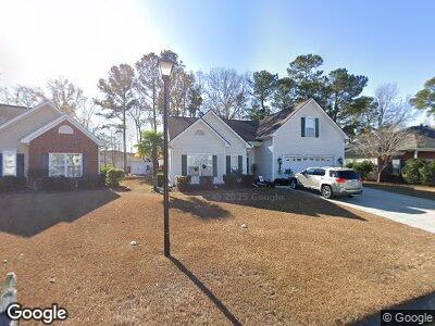
177 Rocko Dr Myrtle Beach, SC 29579
Estimated Value: $297,000 - $349,000
3
Beds
2
Baths
2,046
Sq Ft
$162/Sq Ft
Est. Value
About This Home
This home is located at 177 Rocko Dr, Myrtle Beach, SC 29579 and is currently estimated at $331,929, approximately $162 per square foot. 177 Rocko Dr is a home located in Horry County with nearby schools including River Oaks Elementary School, Ten Oaks Middle, and Carolina Forest High School.
Ownership History
Date
Name
Owned For
Owner Type
Purchase Details
Closed on
Nov 28, 2005
Sold by
Lennar Carolinas Llc
Bought by
Weslowski Robert and Weslowski Justine
Current Estimated Value
Home Financials for this Owner
Home Financials are based on the most recent Mortgage that was taken out on this home.
Original Mortgage
$145,000
Interest Rate
6.1%
Mortgage Type
Fannie Mae Freddie Mac
Purchase Details
Closed on
Jul 21, 2005
Sold by
Lennar Carolina Llc
Bought by
Lennar Carolinas Llc
Purchase Details
Closed on
Dec 1, 2004
Sold by
Cray Inc
Bought by
Lennar Carolina Inc
Create a Home Valuation Report for This Property
The Home Valuation Report is an in-depth analysis detailing your home's value as well as a comparison with similar homes in the area
Home Values in the Area
Average Home Value in this Area
Purchase History
| Date | Buyer | Sale Price | Title Company |
|---|---|---|---|
| Weslowski Robert | $219,990 | -- | |
| Lennar Carolinas Llc | -- | -- | |
| Lennar Carolina Inc | $761,100 | -- |
Source: Public Records
Mortgage History
| Date | Status | Borrower | Loan Amount |
|---|---|---|---|
| Open | Weslowski Robert | $188,000 | |
| Closed | Weslowski Robert | $97,328 | |
| Closed | Weslowski Robert | $145,000 |
Source: Public Records
Tax History Compared to Growth
Tax History
| Year | Tax Paid | Tax Assessment Tax Assessment Total Assessment is a certain percentage of the fair market value that is determined by local assessors to be the total taxable value of land and additions on the property. | Land | Improvement |
|---|---|---|---|---|
| 2024 | $746 | $6,212 | $1,410 | $4,802 |
| 2023 | $746 | $6,212 | $1,410 | $4,802 |
| 2021 | $677 | $8,514 | $1,410 | $7,104 |
| 2020 | $585 | $8,514 | $1,410 | $7,104 |
| 2019 | $585 | $8,514 | $1,410 | $7,104 |
| 2018 | $528 | $5,402 | $1,294 | $4,108 |
| 2017 | $513 | $5,402 | $1,294 | $4,108 |
| 2016 | -- | $5,402 | $1,294 | $4,108 |
| 2015 | $513 | $5,402 | $1,294 | $4,108 |
| 2014 | $474 | $5,402 | $1,294 | $4,108 |
Source: Public Records
Map
Nearby Homes
- 173 Rocko Dr
- 320 McKaylas Ct
- 3676 Clay Pond Village Ln Unit 4
- 755 Burcale Rd Unit E-3
- 755 Burcale Rd Unit G4
- 755 Burcale Rd Unit G-8
- 755 Burcale Rd Unit D6
- 3677 Clay Pond Village Ln Unit 3
- 3677 Clay Pond Village Ln Unit 4
- 3681 Clay Pond Rd Unit 3107
- 3689 Clay Pond Village Ln Unit 4
- 8100 Forest Edge Dr
- 587 Harrison Mill St Unit 587
- 801 Burcale Rd Unit G-5
- 8 Ryan Ln
- 342 Red Fox Rd
- 260 Barclay Dr
- 280 Barclay Dr
- 101 Barclay Dr
- 308 Dendy Ct
- 177 Rocko Dr
- 181 Rocko Dr
- 200 Surrey Ln
- 504 Burcale Rd
- 185 Rocko Dr
- 169 Rocko Dr
- 169 Rocko Dr Unit Burcale Commons
- 202 Surrey Ln
- 178 Rocko Dr
- 508 Burcale Rd
- 165 Rocko Dr
- 102 Stockton Dr
- 189 Rocko Dr
- 182 Rocko Dr Unit Burcale Commons
- 182 Rocko Dr
- 190 Rocket St
- 162 Rocko Dr
- 162 Rocko Dr Unit Burcale Commons
- 204 Surrey Ln Unit MB
- 186 Rocko Dr