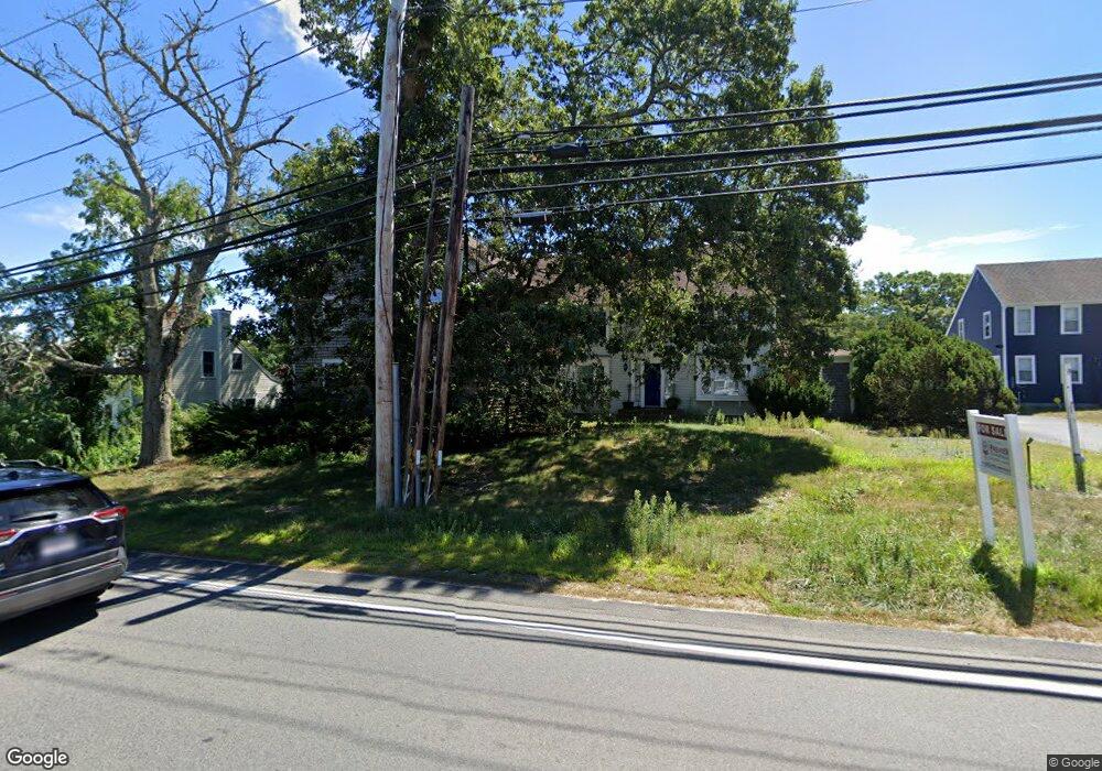
177 Rt 6a Orleans, MA 2653
Estimated Value: $1,230,144
2
Beds
3
Baths
4,530
Sq Ft
$272/Sq Ft
Est. Value
About This Home
This home is located at 177 Rt 6a, Orleans, MA 2653 and is currently priced at $1,230,144, approximately $271 per square foot. 177 Rt 6a is a home located in Barnstable County with nearby schools including Orleans Elementary School, Nauset Regional Middle School, and Nauset Regional High School.
Ownership History
Date
Name
Owned For
Owner Type
Purchase Details
Closed on
Dec 9, 2005
Sold by
Benchmark Commercial P
Bought by
College Fund Llc
Current Estimated Value
Home Financials for this Owner
Home Financials are based on the most recent Mortgage that was taken out on this home.
Original Mortgage
$419,400
Outstanding Balance
$232,981
Interest Rate
6.17%
Mortgage Type
Commercial
Create a Home Valuation Report for This Property
The Home Valuation Report is an in-depth analysis detailing your home's value as well as a comparison with similar homes in the area
Home Values in the Area
Average Home Value in this Area
Purchase History
| Date | Buyer | Sale Price | Title Company |
|---|---|---|---|
| College Fund Llc | $699,000 | -- |
Source: Public Records
Mortgage History
| Date | Status | Borrower | Loan Amount |
|---|---|---|---|
| Open | College Fund Llc | $419,400 | |
| Closed | College Fund Llc | $209,700 |
Source: Public Records
Tax History Compared to Growth
Tax History
| Year | Tax Paid | Tax Assessment Tax Assessment Total Assessment is a certain percentage of the fair market value that is determined by local assessors to be the total taxable value of land and additions on the property. | Land | Improvement |
|---|---|---|---|---|
| 2025 | $6,812 | $1,091,700 | $360,700 | $731,000 |
| 2024 | $6,486 | $1,011,900 | $350,400 | $661,500 |
| 2023 | $6,016 | $965,600 | $324,400 | $641,200 |
| 2022 | $5,214 | $724,100 | $295,000 | $429,100 |
| 2021 | $5,399 | $688,600 | $286,400 | $402,200 |
| 2020 | $5,055 | $668,700 | $286,400 | $382,300 |
| 2019 | $4,890 | $660,800 | $280,800 | $380,000 |
| 2018 | $4,196 | $632,900 | $267,200 | $365,700 |
| 2017 | $2,905 | $615,500 | $262,000 | $353,500 |
| 2016 | $3,915 | $606,000 | $259,400 | $346,600 |
| 2015 | $3,824 | $595,600 | $254,300 | $341,300 |
Source: Public Records
Map
Nearby Homes
- 190 Rt 6a Unit 12A
- 24 Old Tote Rd
- 18 West Rd Unit 311
- 18 West Rd Unit 315
- 18 West Rd Unit 212
- 24 West Rd
- 45 West Rd Unit 3G
- 45 West Rd Unit 1E
- 42 Old Colony Way Unit 30
- 42 Old Colony Way Unit 6
- 36 Old Colony Way Unit 3022
- 23 Nickerson Rd
- 24 Old Colony Way Unit 25
- 24 Old Colony Way Unit 8
- 10 Center Place Unit 15
- 10 Center Place Unit 16
- 47 Daley Terrace
- 95 S Orleans Rd
- 22 Tonset Rd
- 20 Namskaket Rd
- 177 Rt 6a
- 177 Massachusetts 6a
- 175 Rt 6a
- 179 Massachusetts 6a Unit 2
- 179 Massachusetts 6a
- 179 Rt 6a
- 175 Massachusetts 6a
- 175 Massachusetts 6a Unit 2
- 0 Massachusetts 6a
- 255 Massachusetts 6a
- 100 Cranberry Rt 6a Hwy
- 173 Rt 6a
- 27 Clayton Cir
- 174 Rt 6a
- 169 Rt 6a
- 29 Clayton Cir
- 169-A Rt 6a
- 191 Rt 6a
- 169 Rt 6a
- 169 Massachusetts 6a