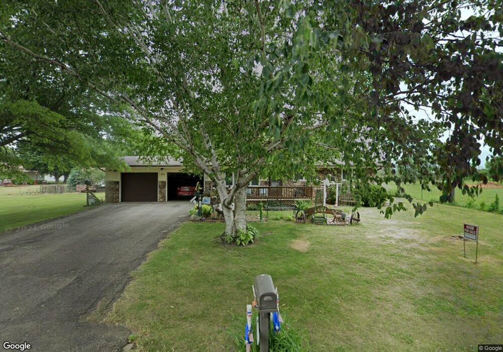
177 S 7th St Raymond, IA 50667
Estimated Value: $148,000 - $190,525
2
Beds
2
Baths
960
Sq Ft
$176/Sq Ft
Est. Value
About This Home
This home is located at 177 S 7th St, Raymond, IA 50667 and is currently estimated at $169,131, approximately $176 per square foot. 177 S 7th St is a home located in Black Hawk County with nearby schools including Poyner Elementary School, Bunger Middle School, and East High School.
Ownership History
Date
Name
Owned For
Owner Type
Purchase Details
Closed on
Jun 20, 2023
Sold by
Key Marvin L
Bought by
Kies John M and Kies Sally J
Current Estimated Value
Create a Home Valuation Report for This Property
The Home Valuation Report is an in-depth analysis detailing your home's value as well as a comparison with similar homes in the area
Home Values in the Area
Average Home Value in this Area
Purchase History
| Date | Buyer | Sale Price | Title Company |
|---|---|---|---|
| Kies John M | $135,000 | None Listed On Document |
Source: Public Records
Tax History Compared to Growth
Tax History
| Year | Tax Paid | Tax Assessment Tax Assessment Total Assessment is a certain percentage of the fair market value that is determined by local assessors to be the total taxable value of land and additions on the property. | Land | Improvement |
|---|---|---|---|---|
| 2024 | $2,432 | $166,100 | $27,060 | $139,040 |
| 2023 | $1,954 | $166,510 | $27,060 | $139,450 |
| 2022 | $1,940 | $139,550 | $27,060 | $112,490 |
| 2021 | $1,912 | $139,550 | $27,060 | $112,490 |
| 2020 | $1,898 | $127,850 | $20,300 | $107,550 |
| 2019 | $1,898 | $127,850 | $20,300 | $107,550 |
| 2018 | $1,870 | $122,480 | $20,300 | $102,180 |
| 2017 | $1,924 | $122,480 | $20,300 | $102,180 |
| 2016 | $1,908 | $122,480 | $20,300 | $102,180 |
| 2015 | $1,908 | $122,480 | $20,300 | $102,180 |
| 2014 | $1,854 | $117,100 | $20,300 | $96,800 |
Source: Public Records
Map
Nearby Homes
- 6423 Lafayette Rd
- 6513 Lafayette Rd
- 570 W Central St
- 312 Elaine Dr
- 5955 Osage Rd
- 0 Dubuque Rd Unit NBR20242713
- Lot 10 Eagles Landing 1st Addition
- Lot 15 Eagles Landing 1st Addition
- 500 Douglas Rd
- 156 Gray St
- Lot # 53 Hunter Dr
- Lot # 47 Hunter Dr
- Lot # 46 Hunter Dr
- Lot #45 Hunter Dr
- 101 Jackie Ave
- 0000 Lafayette Rd
- Lot 5 Lafayette Rd
- Lot 1 Lafayette Rd
- 701 Evansdale Dr
- 30.66 Acres Mccoy Rd
- 180 S 7th St
- Lot 3 W Central St
- 110 S 7th St Unit 112
- 100 S 7th St
- 6426 Lafayette Rd
- 6430 Lafayette Rd
- 6428 Lafayette Rd
- 405 W Central St Unit 407
- 410 W Central St
- 6422 Lafayette Rd
- 6420 Lafayette Rd
- 420 W Central St
- Lot 17 Rolling Hills Subdivision
- Lot 13 Rolling Hills Subdivision
- Lot 7 Rolling Hills Subdivision
- Lot 6 Rolling Hills Subdivision
- Lot 4 Rolling Hills Subdivision
- Lot 3 Rolling Hills Subdivision
- Lot 12 Rolling Hills Subdivision
- LOTS Commercial St