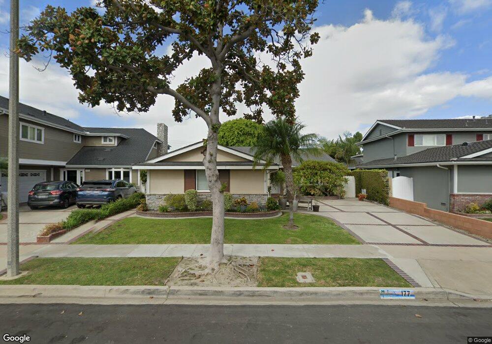
177 Stanford Ln Seal Beach, CA 90740
Estimated Value: $1,283,765 - $1,387,000
5
Beds
2
Baths
1,710
Sq Ft
$781/Sq Ft
Est. Value
About This Home
This home is located at 177 Stanford Ln, Seal Beach, CA 90740 and is currently estimated at $1,334,941, approximately $780 per square foot. 177 Stanford Ln is a home located in Orange County with nearby schools including Francis Hopkinson Elementary School, Jack L. Weaver Elementary School, and Oak Middle School.
Ownership History
Date
Name
Owned For
Owner Type
Purchase Details
Closed on
Mar 1, 2013
Sold by
Fisher Cheryl J
Bought by
Fisher Cheryl J and Cheryl J Fisher 2013 Trust
Current Estimated Value
Purchase Details
Closed on
Dec 15, 2004
Sold by
Fisher Robert Burton and Fisher Cheryl Jeanette
Bought by
Fisher Robert B and Fisher Cheryl J
Purchase Details
Closed on
Jan 8, 1997
Sold by
Farmers & Merchants Tr Co Of Long Beach
Bought by
Fisher Robert Burton and Fisher Cheryl Jeanette
Home Financials for this Owner
Home Financials are based on the most recent Mortgage that was taken out on this home.
Original Mortgage
$180,800
Outstanding Balance
$19,471
Interest Rate
7.66%
Estimated Equity
$1,315,470
Purchase Details
Closed on
Jun 9, 1993
Sold by
Gawlik Leon P
Bought by
Gawlik Joan
Create a Home Valuation Report for This Property
The Home Valuation Report is an in-depth analysis detailing your home's value as well as a comparison with similar homes in the area
Home Values in the Area
Average Home Value in this Area
Purchase History
| Date | Buyer | Sale Price | Title Company |
|---|---|---|---|
| Fisher Cheryl J | -- | None Available | |
| Fisher Robert B | -- | -- | |
| Fisher Robert Burton | $226,000 | -- | |
| Gawlik Joan | -- | Fidelity National Title |
Source: Public Records
Mortgage History
| Date | Status | Borrower | Loan Amount |
|---|---|---|---|
| Open | Fisher Robert Burton | $180,800 |
Source: Public Records
Tax History Compared to Growth
Tax History
| Year | Tax Paid | Tax Assessment Tax Assessment Total Assessment is a certain percentage of the fair market value that is determined by local assessors to be the total taxable value of land and additions on the property. | Land | Improvement |
|---|---|---|---|---|
| 2025 | $4,580 | $368,071 | $255,806 | $112,265 |
| 2024 | $4,580 | $360,854 | $250,790 | $110,064 |
| 2023 | $4,470 | $353,779 | $245,873 | $107,906 |
| 2022 | $4,440 | $346,843 | $241,052 | $105,791 |
| 2021 | $4,343 | $340,043 | $236,326 | $103,717 |
| 2020 | $4,348 | $336,557 | $233,903 | $102,654 |
| 2019 | $4,196 | $329,958 | $229,316 | $100,642 |
| 2018 | $3,996 | $323,489 | $224,820 | $98,669 |
| 2017 | $3,909 | $317,147 | $220,412 | $96,735 |
| 2016 | $3,832 | $310,929 | $216,090 | $94,839 |
| 2015 | $3,785 | $306,259 | $212,844 | $93,415 |
| 2014 | $3,728 | $300,260 | $208,674 | $91,586 |
Source: Public Records
Map
Nearby Homes
- 6911 E 10th St
- 12725 Martha Ann Dr
- 12452 Martha Ann Dr
- 13061 Oak Hills Dr Unit 221D
- 13021 Oak Hills Dr Unit 219H
- 1075 Brookline Rd
- 13081 Oak Hills Dr
- 865 Kallin Ave
- 1100 Brookline Rd
- 2692 Copa de Oro Dr
- 13160 Nassau Dr Unit 211L
- 13410 Oak Hills Dr Unit 224D
- 1121 Northwood Rd Unit 237A M9
- 13220 Nassau Dr
- 13201 El Dorado Dr Unit 207-I
- 1150 Northwood Rd Unit 166E M7
- 2762 Engel Dr
- 13261 Southport Ln
- 6976 E El Cedral St
- 13171 St Andrews Dr Unit 154-J
- 173 Stanford Ln
- 181 Stanford Ln
- 192 Harvard Ln
- 169 Stanford Ln
- 185 Stanford Ln
- 188 Harvard Ln
- 200 Harvard Ln
- 176 Stanford Ln
- 184 Harvard Ln
- 172 Stanford Ln
- 165 Stanford Ln
- 189 Stanford Ln
- 184 Stanford Ln
- 208 Harvard Ln
- 168 Stanford Ln
- 180 Harvard Ln
- 188 Stanford Ln
- 193 Stanford Ln
- 212 Harvard Ln
- 164 Stanford Ln