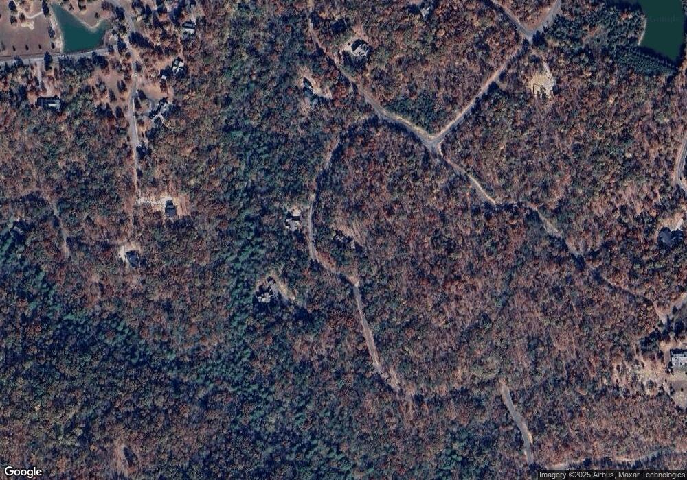
177 Tall Tree Trail Dunlap, TN 37327
Cagle-Fredonia NeighborhoodEstimated Value: $352,309 - $466,000
Studio
2
Baths
1,470
Sq Ft
$277/Sq Ft
Est. Value
About This Home
This home is located at 177 Tall Tree Trail, Dunlap, TN 37327 and is currently estimated at $406,577, approximately $276 per square foot. 177 Tall Tree Trail is a home located in Sequatchie County with nearby schools including Griffith Elementary School, Sequatchie County Middle School, and Sequatchie County High School.
Ownership History
Date
Name
Owned For
Owner Type
Purchase Details
Closed on
Aug 31, 2006
Sold by
Developmen Wagner Brothers
Bought by
Penney Alan L
Current Estimated Value
Purchase Details
Closed on
Jun 14, 1999
Bought by
Wagner Brothers Development Llc
Purchase Details
Closed on
Jan 23, 1995
Bought by
Wanger Brothers Development Llc
Create a Home Valuation Report for This Property
The Home Valuation Report is an in-depth analysis detailing your home's value as well as a comparison with similar homes in the area
Home Values in the Area
Average Home Value in this Area
Purchase History
| Date | Buyer | Sale Price | Title Company |
|---|---|---|---|
| Penney Alan L | $98,400 | -- | |
| Wagner Brothers Development Llc | $122,500 | -- | |
| Wanger Brothers Development Llc | $400,000 | -- |
Source: Public Records
Tax History
| Year | Tax Paid | Tax Assessment Tax Assessment Total Assessment is a certain percentage of the fair market value that is determined by local assessors to be the total taxable value of land and additions on the property. | Land | Improvement |
|---|---|---|---|---|
| 2025 | $1,565 | $85,225 | $20,325 | $64,900 |
| 2024 | $1,565 | $85,225 | $20,325 | $64,900 |
| 2023 | $1,565 | $85,225 | $20,325 | $64,900 |
| 2022 | $1,730 | $70,850 | $31,850 | $39,000 |
| 2021 | $1,730 | $70,850 | $31,850 | $39,000 |
| 2020 | $1,730 | $70,850 | $31,850 | $39,000 |
| 2019 | $1,730 | $70,850 | $31,850 | $39,000 |
| 2018 | $1,730 | $70,850 | $31,850 | $39,000 |
| 2017 | $1,730 | $70,850 | $31,850 | $39,000 |
| 2016 | $1,630 | $63,450 | $24,525 | $38,925 |
| 2015 | $1,630 | $63,450 | $24,525 | $38,925 |
| 2014 | $1,630 | $63,450 | $24,525 | $38,925 |
Source: Public Records
Map
Nearby Homes
- 0 Tall Tree Trail Unit 1526067
- Lot 413 Tall Tree Trail
- 195 Deep Woods Dr
- Lot 309 Tree House Trail
- 400 Tree House Trail
- 0 Tall Tree Tr Unit RTC2972340
- 0 Tall Tree Tr Unit 1269631
- 0 Oak Leaf Ln
- Lot 202 Deep Woods Dr
- 561 Bluff View Dr
- Lot 561 Bluff View Dr
- 103-B Bluff View Dr
- 0 Bluff View Dr Unit 1512289
- 0 Bluff View Dr Unit RTC2865797
- 0 Bluff View Dr Unit 1512207
- 202 Deep Woods Dr
- 1334 Bluff View Dr
- 2168 Bluff View Dr
- 89 No Name Dr
- 327 Two Lake Trail
- 407 Tall Tree Tr
- 400 Tree House Tr
- 124 Tall Tree Trail
- 1 Tree House Tr
- 272 Tree House Trail
- 319 Treehouse Tr
- 153 Deep Woods Dr
- Lot 309 Tree House Tr Unit 309
- 257 Tree House Trail
- Lot 106 Wandering Way
- 412 Tall Tree Trail
- 413 Tall Tree Trail
- 406 Tall Tree Trail
- 419 Tall Tree Trail
- 0 Tall Tree Trail Unit RTC2972207
- 0 Tall Tree Trail Unit 1313780
- 0 Tall Tree Trail Unit 1368638
- 0 Tall Tree Trail Unit 1286607
- 0 Tall Tree Trail Unit 1346730
- 0 Tall Tree Trail Unit 1238472
Your Personal Tour Guide
Ask me questions while you tour the home.
