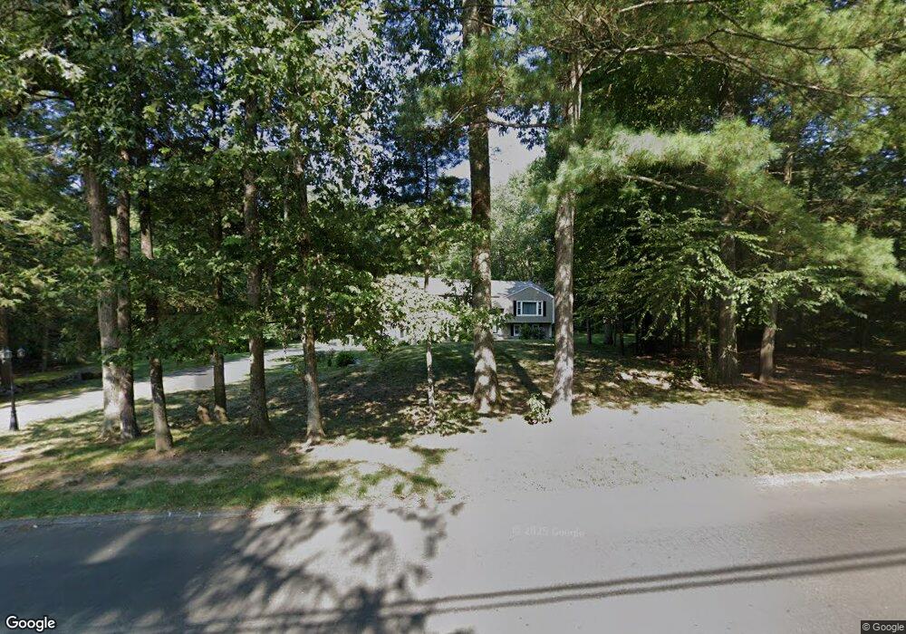
177 W Mountain Rd West Simsbury, CT 06092
Estimated Value: $494,000 - $517,000
4
Beds
7
Baths
1,615
Sq Ft
$314/Sq Ft
Est. Value
About This Home
This home is located at 177 W Mountain Rd, West Simsbury, CT 06092 and is currently estimated at $506,975, approximately $313 per square foot. 177 W Mountain Rd is a home located in Hartford County with nearby schools including Tootin' Hills School, Henry James Memorial School, and Simsbury High School.
Ownership History
Date
Name
Owned For
Owner Type
Purchase Details
Closed on
Jun 18, 2010
Sold by
Harol Jonathan E and Harol Jenny R
Bought by
Tharanibalan Yoganandan and Appadurai Sureka
Current Estimated Value
Purchase Details
Closed on
Aug 1, 2007
Sold by
Russell E Roden T and Roden Russell E
Bought by
Harol Jonathan E and Harol Jenny R
Create a Home Valuation Report for This Property
The Home Valuation Report is an in-depth analysis detailing your home's value as well as a comparison with similar homes in the area
Home Values in the Area
Average Home Value in this Area
Purchase History
| Date | Buyer | Sale Price | Title Company |
|---|---|---|---|
| Tharanibalan Yoganandan | $294,900 | -- | |
| Harol Jonathan E | $277,000 | -- |
Source: Public Records
Mortgage History
| Date | Status | Borrower | Loan Amount |
|---|---|---|---|
| Open | Harol Jonathan E | $36,200 | |
| Open | Harol Jonathan E | $230,400 | |
| Closed | Harol Jonathan E | $25,600 |
Source: Public Records
Tax History Compared to Growth
Tax History
| Year | Tax Paid | Tax Assessment Tax Assessment Total Assessment is a certain percentage of the fair market value that is determined by local assessors to be the total taxable value of land and additions on the property. | Land | Improvement |
|---|---|---|---|---|
| 2025 | $8,403 | $245,980 | $78,750 | $167,230 |
| 2024 | $7,755 | $232,820 | $78,750 | $154,070 |
| 2023 | $7,408 | $232,820 | $78,750 | $154,070 |
| 2022 | $7,298 | $188,930 | $86,440 | $102,490 |
| 2021 | $7,298 | $188,930 | $86,440 | $102,490 |
| 2020 | $7,007 | $188,930 | $86,440 | $102,490 |
| 2019 | $7,051 | $188,930 | $86,440 | $102,490 |
| 2018 | $7,102 | $188,930 | $86,440 | $102,490 |
| 2017 | $6,266 | $161,650 | $72,600 | $89,050 |
| 2016 | $6,000 | $161,650 | $72,600 | $89,050 |
Source: Public Records
Map
Nearby Homes
- 10 Sachems Trail
- 121 Gracey Rd
- 23 Red Fox Run
- 15 Red Fox Run
- 143 N Mountain Rd
- 395 Bushy Hill Rd
- 301 Bushy Hill Rd
- 42 Garrett Rd
- 302 Bushy Hill Rd
- 6 Highwood Rd
- 24 Drumlin Rd
- 265 E Hill Rd
- 21 Christmas Tree Hill
- 18 Meadowlark Rd
- 370A W Mountain Rd
- 41 Applegate Ln
- 3 Applegate Ln Unit 3
- 31 Applegate Ln Unit 31
- 49 Applegate Ln Unit 49
- 152 E Hill Rd
- 178 W Mountain Rd
- 175 W Mountain Rd
- 179 W Mountain Rd
- 176 W Mountain Rd
- 180 W Mountain Rd
- 6 Rocklyn Dr
- 8 Rocklyn Ct
- 182 W Mountain Rd
- 181 W Mountain Rd
- 173 W Mountain Rd
- 172 W Mountain Rd
- 2 Rocklyn Dr
- 4 Rocklyn Dr
- 10 Rocklyn Ct
- 184 W Mountain Rd
- 185 W Mountain Rd
- 168 W Mountain Rd
- 7 Rocklyn Dr
- 186 W Mountain Rd
- 9 Rocklyn Dr