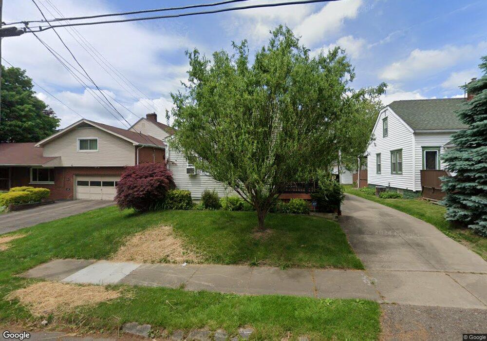
177 W Way St Barberton, OH 44203
North Barberton NeighborhoodEstimated Value: $98,000 - $166,000
2
Beds
2
Baths
1,138
Sq Ft
$124/Sq Ft
Est. Value
About This Home
This home is located at 177 W Way St, Barberton, OH 44203 and is currently estimated at $141,669, approximately $124 per square foot. 177 W Way St is a home located in Summit County with nearby schools including Barberton Middle School, Barberton Intermediate School 3-5, and Barberton High School.
Ownership History
Date
Name
Owned For
Owner Type
Purchase Details
Closed on
Sep 17, 2014
Sold by
Kurilko Carole J and Kurilko Albert H
Bought by
Kurilko Carol J and Kurilko Carole J
Current Estimated Value
Purchase Details
Closed on
Jan 14, 2008
Sold by
Kurilko Travis C and Kurilko Tiffany
Bought by
Kurilko Albert H and Kurilko Carol J
Purchase Details
Closed on
Apr 15, 2002
Sold by
Ann Tepus Mary A and Ann Mary
Bought by
Kurilko Travis C
Create a Home Valuation Report for This Property
The Home Valuation Report is an in-depth analysis detailing your home's value as well as a comparison with similar homes in the area
Home Values in the Area
Average Home Value in this Area
Purchase History
| Date | Buyer | Sale Price | Title Company |
|---|---|---|---|
| Kurilko Carol J | -- | -- | |
| Kurilko Albert H | -- | Cardinal Title Company | |
| Kurilko Travis C | $52,894 | Midland Commerce Group |
Source: Public Records
Tax History Compared to Growth
Tax History
| Year | Tax Paid | Tax Assessment Tax Assessment Total Assessment is a certain percentage of the fair market value that is determined by local assessors to be the total taxable value of land and additions on the property. | Land | Improvement |
|---|---|---|---|---|
| 2025 | $1,654 | $42,147 | $8,029 | $34,118 |
| 2024 | $1,654 | $42,147 | $8,029 | $34,118 |
| 2023 | $1,654 | $42,147 | $8,029 | $34,118 |
| 2022 | $1,160 | $28,770 | $5,250 | $23,520 |
| 2021 | $1,158 | $28,770 | $5,250 | $23,520 |
| 2020 | $1,134 | $28,770 | $5,250 | $23,520 |
| 2019 | $1,038 | $25,330 | $4,620 | $20,710 |
| 2018 | $1,022 | $25,330 | $4,620 | $20,710 |
| 2017 | $1,035 | $25,330 | $4,620 | $20,710 |
| 2016 | $1,037 | $25,330 | $4,620 | $20,710 |
| 2015 | $1,035 | $25,330 | $4,620 | $20,710 |
| 2014 | $1,030 | $25,330 | $4,620 | $20,710 |
| 2013 | $998 | $25,440 | $4,620 | $20,820 |
Source: Public Records
Map
Nearby Homes
- 714 Orchard Ave
- 217 W Summit St
- 0 Wooster Rd N
- 30 W Hiram St
- 613 Wooster Rd N
- 536 Yale Ave
- 485 Lloyd St
- 213 Hermann St
- 526 Wooster Rd N
- 437 Erie St
- 197 W State St Unit 182
- 409 Franklin Ave
- 0 Romig Ave
- 332 Lincoln Ave
- 46 Brown St
- 76 Hazelwood Ave
- 349 E Hopocan Ave
- 337 Lucas St
- 1146 Wooster Rd N
- 274 E State St
- 173 W Way St
- 181 W Way St Unit 183
- 181 W Way St Unit 183
- 676 Charles Ave
- 195 W Way St
- 673 Newton St
- 680 Charles Ave
- 677 Newton St
- 161 W Way St
- 677 Charles Ave
- 681 Newton St
- 684 Charles Ave
- 165 W Way St
- 651 Charles Ave
- 685 Newton St
- 645 Charles Ave
- 688 Charles Ave
- 664 Newton St
- 641 Charles Ave
- 641 Charles Ave