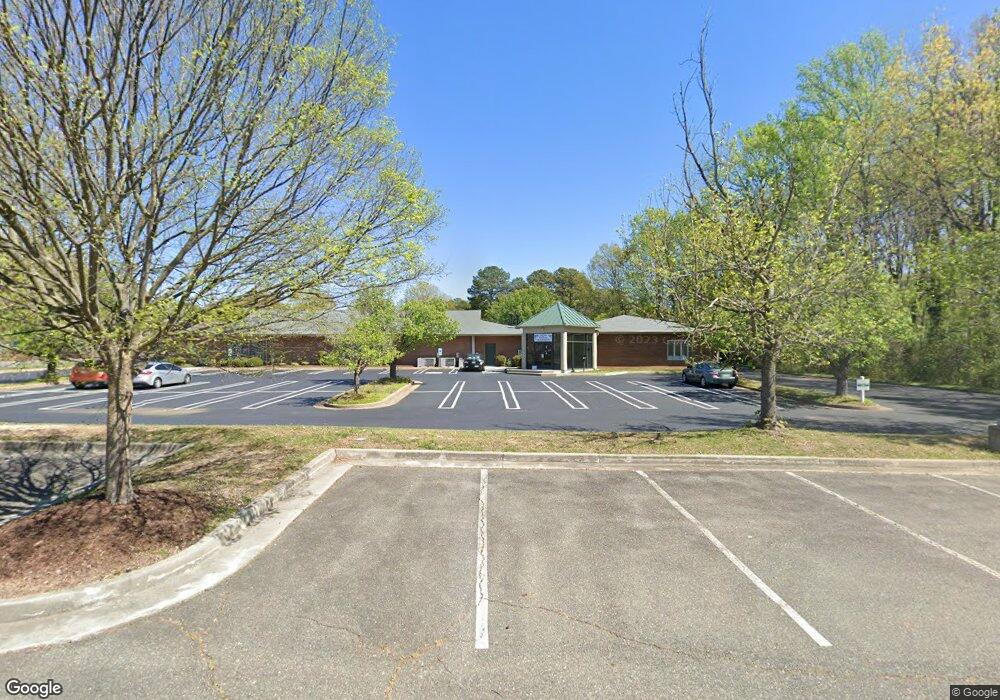
1770 N Parham Rd Richmond, VA 23229
Regency NeighborhoodEstimated Value: $2,289,971
--
Bed
--
Bath
12,399
Sq Ft
$185/Sq Ft
Est. Value
About This Home
This home is located at 1770 N Parham Rd, Richmond, VA 23229 and is currently estimated at $2,289,971, approximately $184 per square foot. 1770 N Parham Rd is a home located in Henrico County with nearby schools including Ridge Elementary School, Quioccasin Middle School, and Douglas S. Freeman High School.
Ownership History
Date
Name
Owned For
Owner Type
Purchase Details
Closed on
Sep 21, 2012
Sold by
Starling Associates Llc
Bought by
Emerson Avenue Llc
Current Estimated Value
Purchase Details
Closed on
Feb 8, 2002
Sold by
State Farm Mutual Auto In
Bought by
Starling Associates Llc
Home Financials for this Owner
Home Financials are based on the most recent Mortgage that was taken out on this home.
Original Mortgage
$1,245,000
Interest Rate
7.13%
Mortgage Type
Commercial
Create a Home Valuation Report for This Property
The Home Valuation Report is an in-depth analysis detailing your home's value as well as a comparison with similar homes in the area
Home Values in the Area
Average Home Value in this Area
Purchase History
| Date | Buyer | Sale Price | Title Company |
|---|---|---|---|
| Emerson Avenue Llc | $1,015,000 | -- | |
| Starling Associates Llc | $865,000 | -- |
Source: Public Records
Mortgage History
| Date | Status | Borrower | Loan Amount |
|---|---|---|---|
| Previous Owner | Starling Associates Llc | $1,245,000 |
Source: Public Records
Tax History Compared to Growth
Tax History
| Year | Tax Paid | Tax Assessment Tax Assessment Total Assessment is a certain percentage of the fair market value that is determined by local assessors to be the total taxable value of land and additions on the property. | Land | Improvement |
|---|---|---|---|---|
| 2025 | $8,839 | $1,070,100 | $351,700 | $718,400 |
| 2024 | $8,839 | $1,231,900 | $351,700 | $880,200 |
| 2023 | $10,471 | $1,231,900 | $351,700 | $880,200 |
| 2022 | $10,192 | $1,199,100 | $351,700 | $847,400 |
| 2021 | $10,147 | $1,166,300 | $351,700 | $814,600 |
| 2020 | $10,147 | $1,166,300 | $351,700 | $814,600 |
| 2019 | $8,536 | $981,200 | $351,700 | $629,500 |
| 2018 | $8,300 | $954,000 | $351,700 | $602,300 |
| 2017 | $8,822 | $1,014,000 | $307,300 | $706,700 |
| 2016 | $8,822 | $1,014,000 | $307,300 | $706,700 |
| 2015 | $9,691 | $1,113,900 | $307,300 | $806,600 |
| 2014 | $9,691 | $1,113,900 | $307,300 | $806,600 |
Source: Public Records
Map
Nearby Homes
- 8803 Dena Dr
- 8702 Claymont Dr
- 1413 Blue Jay Ln
- 1902 Dresden Rd
- 46 Huneycutt Dr
- 9400 Donora Dr
- 8702 Holly Hill Rd
- 1312 St Michaels Ln
- 21 Ashinghurst Rd
- 66 Dehaven Dr
- 8728 Holly Hill Rd
- 9019 Farmington Dr
- 8310 Bronwood Rd
- 8802 Lawndell Rd
- 8302 Bronwood Rd
- 8701 Basswood Rd
- 1305 Mormac Rd
- 1215 Rosecroft Rd
- 9014 Weldon Dr
- 9613 Wildbriar Ln
- 1720 N Parham Rd
- 1776 N Parham Rd
- 1700 N Parham Rd
- 1784 Starling Dr
- 1703 N Parham Rd
- 1778 N Parham Rd
- 1701 N Parham Rd
- 1771 N Parham Rd
- 1782 N Parham Rd
- 8905 Fargo Rd
- 8814 Fargo Rd
- 8907 Fargo Rd
- 1614 Renmark Rd
- 8911 Fargo Rd
- 1773 N Parham Rd
- 1651 N Parham Rd
- 2000 Starling Dr
- 9001 Three Chopt Rd
- 1612 Renmark Rd
- 1901 Starling Dr