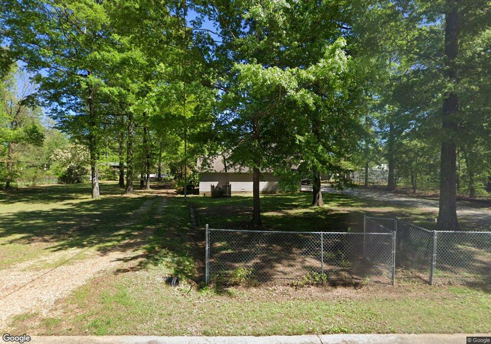
1770 River Chase Dr West Point, MS 39773
Estimated Value: $330,000 - $408,979
3
Beds
--
Bath
4,094
Sq Ft
$93/Sq Ft
Est. Value
About This Home
This home is located at 1770 River Chase Dr, West Point, MS 39773 and is currently estimated at $379,745, approximately $92 per square foot. 1770 River Chase Dr is a home located in Clay County with nearby schools including East Side Elementary School, West Clay Elementary School, and Church Hill Elementary School.
Ownership History
Date
Name
Owned For
Owner Type
Purchase Details
Closed on
Feb 22, 2019
Sold by
Dc Real Estate Of Mississippi Llc
Bought by
Houlk Larmon Neil Edward and Houlk Larmon Brandy
Current Estimated Value
Home Financials for this Owner
Home Financials are based on the most recent Mortgage that was taken out on this home.
Original Mortgage
$293,372
Outstanding Balance
$257,401
Interest Rate
4.4%
Mortgage Type
Unknown
Estimated Equity
$122,344
Create a Home Valuation Report for This Property
The Home Valuation Report is an in-depth analysis detailing your home's value as well as a comparison with similar homes in the area
Home Values in the Area
Average Home Value in this Area
Purchase History
| Date | Buyer | Sale Price | Title Company |
|---|---|---|---|
| Houlk Larmon Neil Edward | -- | -- |
Source: Public Records
Mortgage History
| Date | Status | Borrower | Loan Amount |
|---|---|---|---|
| Open | Houlk Larmon Neil Edward | $293,372 |
Source: Public Records
Tax History Compared to Growth
Tax History
| Year | Tax Paid | Tax Assessment Tax Assessment Total Assessment is a certain percentage of the fair market value that is determined by local assessors to be the total taxable value of land and additions on the property. | Land | Improvement |
|---|---|---|---|---|
| 2024 | $1,557 | $30,366 | $3,000 | $27,366 |
| 2023 | $2,730 | $26,693 | $3,000 | $23,693 |
| 2022 | $1,326 | $26,693 | $3,000 | $23,693 |
| 2021 | $1,325 | $26,693 | $3,000 | $23,693 |
| 2020 | $1,325 | $26,693 | $3,000 | $23,693 |
| 2019 | $1,948 | $37,041 | $4,500 | $32,541 |
| 2018 | $1,868 | $37,041 | $4,500 | $32,541 |
| 2017 | $1,868 | $37,041 | $4,500 | $32,541 |
| 2016 | $1,803 | $37,041 | $4,500 | $32,541 |
| 2015 | $969 | $22,217 | $3,000 | $19,217 |
| 2014 | $199 | $22,217 | $3,000 | $19,217 |
| 2013 | $199 | $22,217 | $3,000 | $19,217 |
Source: Public Records
Map
Nearby Homes
- 0 Riverchase Dr
- 120 Nelda Dr
- 164 Deer Run Rd
- 0 Officers Lake Rd
- 1873 Sandy Land Rd
- 145 Brownlee Dr
- 1372 Mike Parra Rd
- 45 Greenleaf Ln
- 230 Acorn Aly
- 0 Mississippi 373
- 1 W Jess Lyons Rd
- 4 W Jess Lyons Rd
- 3 W Jess Lyons Rd
- 6 W Jess Lyons Rd
- 5 W Jess Lyons Rd
- 0 Downs Rd
- 1 Sleepy Hollow Dr
- 134 S Perkins Rd
- 226 Green Hollow Cir
- 170 Saber Trail
- 1806 River Chase Dr
- 1814 River Chase Dr
- 1815 River Chase Dr
- 10562 Margaret Dr
- 2978 Darracott Rd
- 10 Melba St
- 10 Melba Dr
- 1680 River Chase Dr
- 29 Margaret Dr
- 2218 Fairway Ct
- 2220 Fairway Ct
- 2216 Fairway Ct
- 2570 Humphries Cove
- 2585 Humphries Cove
- 2571 Humphries Cove
- 2377 Humphries Cove
- 2294 Humphries Cove
- 2210 Humphries Cove
- 2516 Humphries Cove
- 2272 Humphries Cove