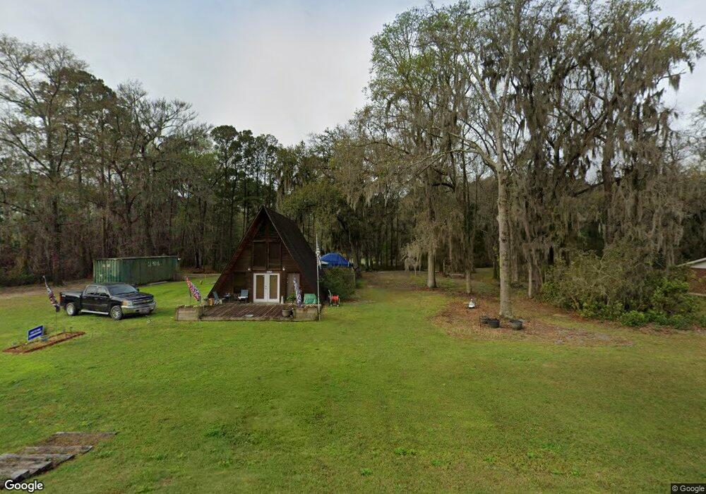
1771 Grove Point Rd Unit B Savannah, GA 31419
Estimated Value: $264,000 - $354,000
1
Bed
1
Bath
1,476
Sq Ft
$211/Sq Ft
Est. Value
About This Home
This home is located at 1771 Grove Point Rd Unit B, Savannah, GA 31419 and is currently estimated at $310,763, approximately $210 per square foot. 1771 Grove Point Rd Unit B is a home located in Chatham County with nearby schools including Southwest Elementary School, Windsor Forest High School, and Southwest Middle School.
Ownership History
Date
Name
Owned For
Owner Type
Purchase Details
Closed on
Feb 7, 2024
Sold by
Turner Jereme
Bought by
Keith Andrae Dwayne and Keith Kristen Monique
Current Estimated Value
Home Financials for this Owner
Home Financials are based on the most recent Mortgage that was taken out on this home.
Original Mortgage
$320,000
Outstanding Balance
$314,398
Interest Rate
6.66%
Mortgage Type
New Conventional
Estimated Equity
-$3,635
Purchase Details
Closed on
May 26, 2011
Sold by
Hsbc Mtg Svcs Inc
Bought by
Turner Jereme
Home Financials for this Owner
Home Financials are based on the most recent Mortgage that was taken out on this home.
Original Mortgage
$47,647
Interest Rate
4%
Mortgage Type
New Conventional
Purchase Details
Closed on
Oct 5, 2010
Sold by
Sikes Cowart Lessie C
Bought by
Hsbc Mtg Svcs Inc
Create a Home Valuation Report for This Property
The Home Valuation Report is an in-depth analysis detailing your home's value as well as a comparison with similar homes in the area
Home Values in the Area
Average Home Value in this Area
Purchase History
| Date | Buyer | Sale Price | Title Company |
|---|---|---|---|
| Keith Andrae Dwayne | $320,000 | -- | |
| Turner Jereme | $53,000 | -- | |
| Hsbc Mtg Svcs Inc | $81,062 | -- |
Source: Public Records
Mortgage History
| Date | Status | Borrower | Loan Amount |
|---|---|---|---|
| Open | Keith Andrae Dwayne | $320,000 | |
| Previous Owner | Turner Jereme | $47,647 |
Source: Public Records
Tax History Compared to Growth
Tax History
| Year | Tax Paid | Tax Assessment Tax Assessment Total Assessment is a certain percentage of the fair market value that is determined by local assessors to be the total taxable value of land and additions on the property. | Land | Improvement |
|---|---|---|---|---|
| 2025 | $1,348 | $89,280 | $40,000 | $49,280 |
| 2024 | $1,348 | $37,720 | $14,000 | $23,720 |
| 2023 | $1,439 | $40,160 | $14,000 | $26,160 |
| 2022 | $1,040 | $32,360 | $14,000 | $18,360 |
| 2021 | $1,114 | $29,200 | $14,000 | $15,200 |
| 2020 | $1,147 | $29,200 | $14,000 | $15,200 |
| 2019 | $1,150 | $29,200 | $14,000 | $15,200 |
| 2018 | $892 | $28,920 | $14,000 | $14,920 |
| 2017 | $1,813 | $32,000 | $18,040 | $13,960 |
| 2016 | $999 | $35,720 | $18,040 | $17,680 |
| 2015 | $1,001 | $35,720 | $18,040 | $17,680 |
| 2014 | $2,025 | $44,760 | $0 | $0 |
Source: Public Records
Map
Nearby Homes
- 2 +/- AC Fawn Ln
- 102 Pine Grove Dr
- 127 Iron Horse Spur
- 45 Barrington Cir
- 10 Barrington Cir
- 231 Sweetwater Station Dr
- 13 Clubhouse Dr
- 210 Pine Grove Dr
- 127 Pine Grove Dr
- 114 Snowbell Ct
- 17 Club House Dr
- 120 Dukes Way
- 206 Calm Oaks Cir
- 112 Snowbell Ct
- 110 Snowbell Ct
- 108 Snowbell Ct
- 194 Calm Oak Cir
- 103 Snowbell Ct
- 101 Snowbell Ct
- 112 Lions Gate Rd
- 1771B Grove Point Rd
- 1771 Grove Point Rd
- 1771 Grove Point Rd
- 1765 Grove Point Rd
- 110 Barksdale Dr
- 108 Barksdale Dr
- 1767 Grove Point Rd
- 111 Barksdale Dr
- 109 Barksdale Dr
- 106 Barksdale Dr
- 1763 Grove Point Rd
- 107 Barksdale Dr
- 104 Barksdale Dr
- 105 Barksdale Dr
- 1825 Grove Point Rd
- 1825 Grove Point Rd
- 105 Iron Horse Spur
- 107 Iron Horse Spur
- 1761 Grove Point Rd
- 103 Iron Horse Spur