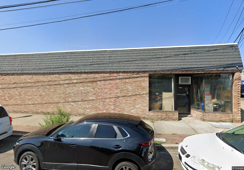
1771 Main St Bridge Port, CT 06604
The Hollow NeighborhoodEstimated Value: $495,387
--
Bed
--
Bath
3,762
Sq Ft
$132/Sq Ft
Est. Value
About This Home
This home is located at 1771 Main St, Bridge Port, CT 06604 and is currently estimated at $495,387, approximately $131 per square foot. 1771 Main St is a home located in Fairfield County with nearby schools including Bassick High School, Catholic Academy of Bridgeport-St. Raphael Academy, and Catholic Academy of Bridgeport-St. Augustine Academy.
Ownership History
Date
Name
Owned For
Owner Type
Purchase Details
Closed on
Mar 16, 2018
Sold by
Dragone Emmanuel
Bought by
1771 Main St Llc
Current Estimated Value
Home Financials for this Owner
Home Financials are based on the most recent Mortgage that was taken out on this home.
Original Mortgage
$234,400
Outstanding Balance
$200,095
Interest Rate
4.22%
Mortgage Type
Unknown
Estimated Equity
$295,292
Purchase Details
Closed on
Jan 31, 2013
Sold by
Dragone Thomas
Bought by
Dragone Emanuel
Purchase Details
Closed on
Aug 7, 2006
Sold by
Brainsky Sandy and Brainsky Stephen
Bought by
Dragone Thomas and Dragone Emanuel
Home Financials for this Owner
Home Financials are based on the most recent Mortgage that was taken out on this home.
Original Mortgage
$300,000
Interest Rate
6.7%
Mortgage Type
Commercial
Create a Home Valuation Report for This Property
The Home Valuation Report is an in-depth analysis detailing your home's value as well as a comparison with similar homes in the area
Home Values in the Area
Average Home Value in this Area
Purchase History
| Date | Buyer | Sale Price | Title Company |
|---|---|---|---|
| 1771 Main St Llc | $293,000 | -- | |
| 1771 Main St Llc | $293,000 | -- | |
| Dragone Emanuel | -- | -- | |
| Dragone Emanuel | -- | -- | |
| Dragone Thomas | $300,000 | -- | |
| Dragone Thomas | $300,000 | -- |
Source: Public Records
Mortgage History
| Date | Status | Borrower | Loan Amount |
|---|---|---|---|
| Open | Dragone Thomas | $234,400 | |
| Closed | Dragone Thomas | $234,400 | |
| Previous Owner | Dragone Thomas | $300,000 |
Source: Public Records
Tax History Compared to Growth
Tax History
| Year | Tax Paid | Tax Assessment Tax Assessment Total Assessment is a certain percentage of the fair market value that is determined by local assessors to be the total taxable value of land and additions on the property. | Land | Improvement |
|---|---|---|---|---|
| 2025 | $9,526 | $219,230 | $102,470 | $116,760 |
| 2024 | $9,526 | $219,230 | $102,470 | $116,760 |
| 2023 | $9,526 | $219,230 | $102,470 | $116,760 |
| 2022 | $9,526 | $219,230 | $102,470 | $116,760 |
| 2021 | $9,526 | $219,230 | $102,470 | $116,760 |
| 2020 | $9,706 | $179,770 | $83,920 | $95,850 |
| 2019 | $9,706 | $179,770 | $83,920 | $95,850 |
| 2018 | $9,774 | $179,770 | $83,920 | $95,850 |
| 2017 | $10,312 | $189,670 | $83,920 | $105,750 |
| 2016 | $10,312 | $189,670 | $83,920 | $105,750 |
| 2015 | $9,093 | $215,470 | $102,170 | $113,300 |
| 2014 | $9,093 | $215,470 | $102,170 | $113,300 |
Source: Public Records
Map
Nearby Homes
- 318 Center St
- 139 Highland Ave Unit 143
- 78 Fairmount Ave
- 183 Calhoun Ave
- 191 Oak St
- 90 Tom Thumb St
- 75 Sanford Ave
- 76 Porter St
- 79 William St
- 113 Milne St Unit 115
- 289 Harriet St
- 5 William Place
- 485 Noble Ave
- 309 Pequonnock St
- 40 Jane St
- 39 Jane St
- 31 Taft Ave
- 627 Noble Ave
- 200 Harral Ave
- 213 Harral Ave Unit 215
- 33 Frank St
- 45 Frank St
- 55 Frank St Unit 57
- 36 Frank St Unit 38
- 74 George St
- 72 Frank St Unit 76
- 51 George St Unit 57
- 84 Frank St Unit 86
- 45 George St Unit 47
- 33 George St Unit 35
- 37 Hurd Ave
- 1673 Main St
- 122 George St
- 124 George St
- 1653 Main St
- 134 George St
- 60 Hurd Ave Unit 62
- 113 Frank St Unit 117
- 113 Frank St Unit 113
- 109 George St