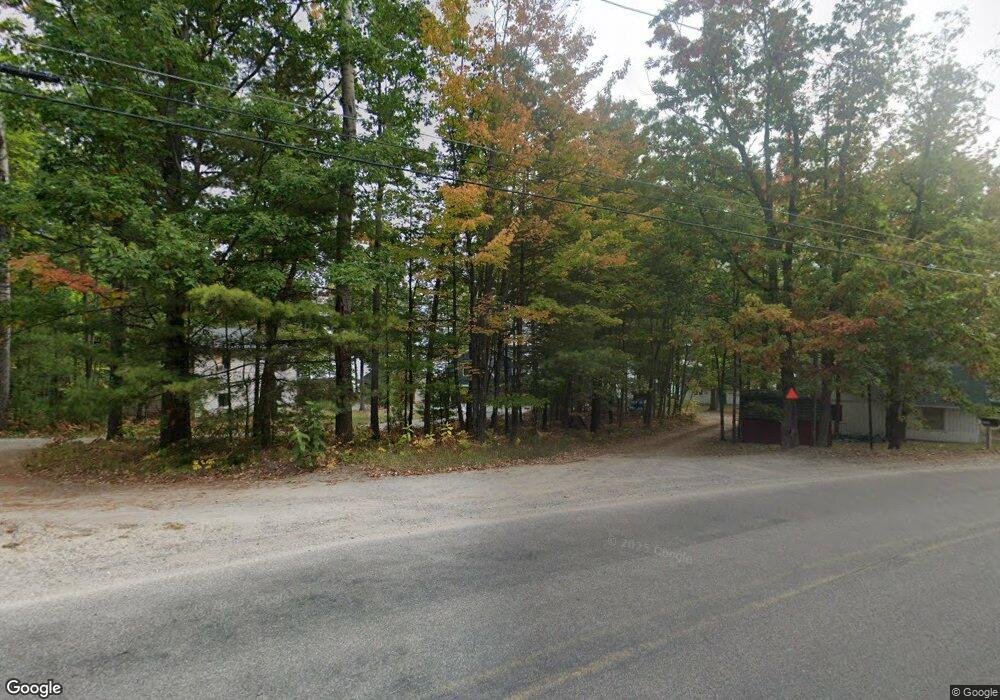
1771 Memory Ln Lewiston, MI 49756
Estimated Value: $216,000 - $653,837
Studio
--
Bath
450
Sq Ft
$966/Sq Ft
Est. Value
About This Home
This home is located at 1771 Memory Ln, Lewiston, MI 49756 and is currently estimated at $434,919, approximately $966 per square foot. 1771 Memory Ln is a home with nearby schools including Johannesburg-Lewiston High School.
Ownership History
Date
Name
Owned For
Owner Type
Purchase Details
Closed on
Jul 22, 2015
Bought by
Vogt Michael D and Vogt Barbara L
Current Estimated Value
Create a Home Valuation Report for This Property
The Home Valuation Report is an in-depth analysis detailing your home's value as well as a comparison with similar homes in the area
Purchase History
| Date | Buyer | Sale Price | Title Company |
|---|---|---|---|
| Vogt Michael D | $135,000 | -- |
Source: Public Records
Tax History Compared to Growth
Tax History
| Year | Tax Paid | Tax Assessment Tax Assessment Total Assessment is a certain percentage of the fair market value that is determined by local assessors to be the total taxable value of land and additions on the property. | Land | Improvement |
|---|---|---|---|---|
| 2025 | $2,165 | $336,100 | $107,400 | $228,700 |
| 2024 | $1,557 | $137,000 | $137,000 | $0 |
| 2023 | $1,531 | $109,900 | $85,000 | $24,900 |
| 2022 | $1,974 | $45,300 | $0 | $0 |
| 2021 | $1,780 | $43,000 | $23,000 | $20,000 |
| 2020 | $1,906 | $42,400 | $0 | $0 |
| 2019 | $2,043 | $64,300 | $0 | $0 |
| 2018 | $721 | $74,000 | $0 | $0 |
| 2017 | -- | $101,000 | $0 | $0 |
| 2016 | -- | $70,000 | $0 | $0 |
| 2015 | -- | $99,000 | $0 | $0 |
| 2014 | -- | $98,500 | $0 | $0 |
Source: Public Records
Map
Nearby Homes
- 3519 Richard St
- 3313 Pleasant View Dr
- 5880 Hillside Dr
- 4565 Grant Dr
- 5987 Hillside Dr
- 2861 Buttles Rd
- 5839 N Red Oak Rd
- 3660 Helen St
- 4672 Birch Grove Ct
- 522 Red Pine Rd
- 3060 Kneeland St
- 3134 Kneeland St
- 3153 Jenson St
- Parcel 2 Heimler Rd
- Parcel 3 Heimler Rd
- 2550 Mary Ann Dr
- 2705 S County Road 489
- 2115 Big Antler Rd
- 5435 County Road 612
- 110 Acres Winding Rd
- 1811 Memory Ln
- 1791 Memory Ln
- 1978 Fleming Rd Unit 6.86 Acres
- Parcel 14 Fleming Rd
- Parcel 12 Fleming Rd
- Parcel 11 Fleming Rd
- Parcel 10 Fleming Rd
- 1771 Fleming Rd
- 1781 Memory Ln
- 1756 Fleming Rd
- 1755 Fleming Rd
- 1841 Memory Ln
- 1765 Fleming Rd
- 1821 Memory Ln
- 1855 Memory Ln
- 1745 Fleming Rd
- 1736 Fleming Rd
- 1726 Fleming Rd
- 1735 Fleming Rd
- 1865 Cobb Rd
