1772 N State Route 741 Franklin, OH 45005
Turtlecreek Township NeighborhoodEstimated Value: $379,000 - $566,612
3
Beds
3
Baths
2,383
Sq Ft
$204/Sq Ft
Est. Value
About This Home
This home is located at 1772 N State Route 741, Franklin, OH 45005 and is currently estimated at $485,653, approximately $203 per square foot. 1772 N State Route 741 is a home located in Warren County with nearby schools including Bowman Primary School, Berry Intermediate School, and Donovan Elementary School.
Ownership History
Date
Name
Owned For
Owner Type
Purchase Details
Closed on
Oct 4, 2021
Sold by
Lykins Robert D and Lykins Karen S
Bought by
Hill Michal and Hill Jessica
Current Estimated Value
Home Financials for this Owner
Home Financials are based on the most recent Mortgage that was taken out on this home.
Original Mortgage
$332,000
Interest Rate
5.22%
Mortgage Type
New Conventional
Create a Home Valuation Report for This Property
The Home Valuation Report is an in-depth analysis detailing your home's value as well as a comparison with similar homes in the area
Home Values in the Area
Average Home Value in this Area
Purchase History
| Date | Buyer | Sale Price | Title Company |
|---|---|---|---|
| Hill Michal | $415,000 | Avenue 365 Lender Services |
Source: Public Records
Mortgage History
| Date | Status | Borrower | Loan Amount |
|---|---|---|---|
| Previous Owner | Hill Michal | $332,000 |
Source: Public Records
Tax History Compared to Growth
Tax History
| Year | Tax Paid | Tax Assessment Tax Assessment Total Assessment is a certain percentage of the fair market value that is determined by local assessors to be the total taxable value of land and additions on the property. | Land | Improvement |
|---|---|---|---|---|
| 2024 | $5,765 | $141,790 | $55,430 | $86,360 |
| 2023 | $5,156 | $114,586 | $35,007 | $79,579 |
| 2022 | $5,068 | $114,587 | $35,007 | $79,580 |
| 2021 | $4,641 | $114,587 | $35,007 | $79,580 |
| 2020 | $4,530 | $93,160 | $28,462 | $64,698 |
| 2019 | $4,556 | $93,160 | $28,462 | $64,698 |
| 2018 | $4,120 | $93,160 | $28,462 | $64,698 |
| 2017 | $3,807 | $77,249 | $24,329 | $52,920 |
| 2016 | $3,935 | $77,249 | $24,329 | $52,920 |
| 2015 | $3,967 | $77,249 | $24,329 | $52,920 |
| 2014 | $3,812 | $71,050 | $23,370 | $47,680 |
| 2013 | $3,817 | $82,890 | $25,200 | $57,690 |
Source: Public Records
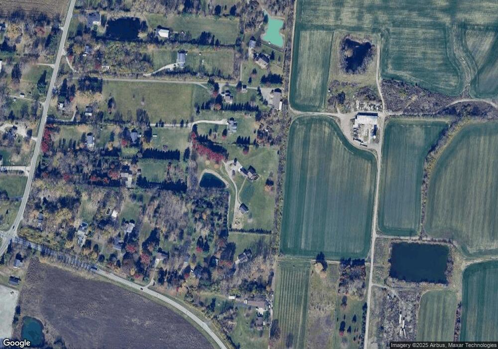
Map
Nearby Homes
- 1782 Ohio 741
- 1369 New England Way
- 3822 Greentree Rd
- 417 Bethpage Way
- 417 Bethpage Way Unit 7-302
- 1537 Golf Club Dr
- 4289 Yellow Prairie Dr
- 4284 Yellow Prairie Dr
- 2266 N St Rt 123
- 2266 N St Rt 123 Unit Site D
- 2266 Ohio 123
- 2266 Ohio 123 Unit Site C
- 2266 Ohio 123 Unit Site A
- 2266 Ohio 123 Unit Site B
- 4343 Hunting Hawk Dr
- 1255 Lake Run Dr
- 1291 Lake Run Dr
- 1932 Meadowsweet Dr
- 1387 Lake Run Dr
- 1535 Canterbury Ct
- 1772 Ohio 741
- 1770 N State Route 741
- 1774 N State Route 741
- 1774 St Rt 741
- 3134 Greentree Rd
- 3132 Greentree Rd
- 1832 Ohio 741
- 3080 Greentree Rd
- 3210 Greentree Rd
- 3230 Greentree Rd
- 1804 N State Route 741
- 3250 Greentree Rd
- 1716 N State Route 741
- 1730 N State Route 741
- 2974 Greentree Rd
- 1802 N State Route 741
- 1828 N State Route 741
- 1828 N State Route 741
- 1832 N State Route 741
- 1696 N State Route 741