17725 State Highway 49 Plymouth, CA 95669
Estimated Value: $722,000 - $1,032,698
3
Beds
2
Baths
2,014
Sq Ft
$425/Sq Ft
Est. Value
About This Home
This home is located at 17725 State Highway 49, Plymouth, CA 95669 and is currently estimated at $855,233, approximately $424 per square foot. 17725 State Highway 49 is a home located in Amador County with nearby schools including Plymouth Elementary School, Ione Junior High School, and Amador High School.
Ownership History
Date
Name
Owned For
Owner Type
Purchase Details
Closed on
Apr 13, 2023
Sold by
Garfinkel James M and Garfinkel Kathleen J
Bought by
Garfinkel Family Trust
Current Estimated Value
Purchase Details
Closed on
Feb 16, 2010
Sold by
Garfinkel James M and Garfinkel Kathleen J
Bought by
Garfinkel James and Garfinkel Kathleen
Create a Home Valuation Report for This Property
The Home Valuation Report is an in-depth analysis detailing your home's value as well as a comparison with similar homes in the area
Home Values in the Area
Average Home Value in this Area
Purchase History
| Date | Buyer | Sale Price | Title Company |
|---|---|---|---|
| Garfinkel Family Trust | -- | None Listed On Document | |
| Garfinkel James M | -- | None Listed On Document | |
| Garfinkel James | -- | None Available |
Source: Public Records
Tax History Compared to Growth
Tax History
| Year | Tax Paid | Tax Assessment Tax Assessment Total Assessment is a certain percentage of the fair market value that is determined by local assessors to be the total taxable value of land and additions on the property. | Land | Improvement |
|---|---|---|---|---|
| 2025 | $7,972 | $803,219 | $351,058 | $452,161 |
| 2024 | $7,972 | $787,471 | $344,175 | $443,296 |
| 2023 | $7,813 | $772,031 | $337,427 | $434,604 |
| 2022 | $7,640 | $756,894 | $330,811 | $426,083 |
| 2021 | $7,493 | $742,054 | $324,325 | $417,729 |
| 2020 | $7,419 | $734,446 | $321,000 | $413,446 |
| 2019 | $7,272 | $720,046 | $314,706 | $405,340 |
| 2018 | $7,131 | $705,929 | $308,536 | $397,393 |
| 2017 | $6,993 | $692,088 | $302,487 | $389,601 |
| 2016 | $6,855 | $678,518 | $296,556 | $381,962 |
| 2015 | -- | $668,327 | $292,102 | $376,225 |
| 2014 | -- | $655,237 | $286,381 | $368,856 |
Source: Public Records
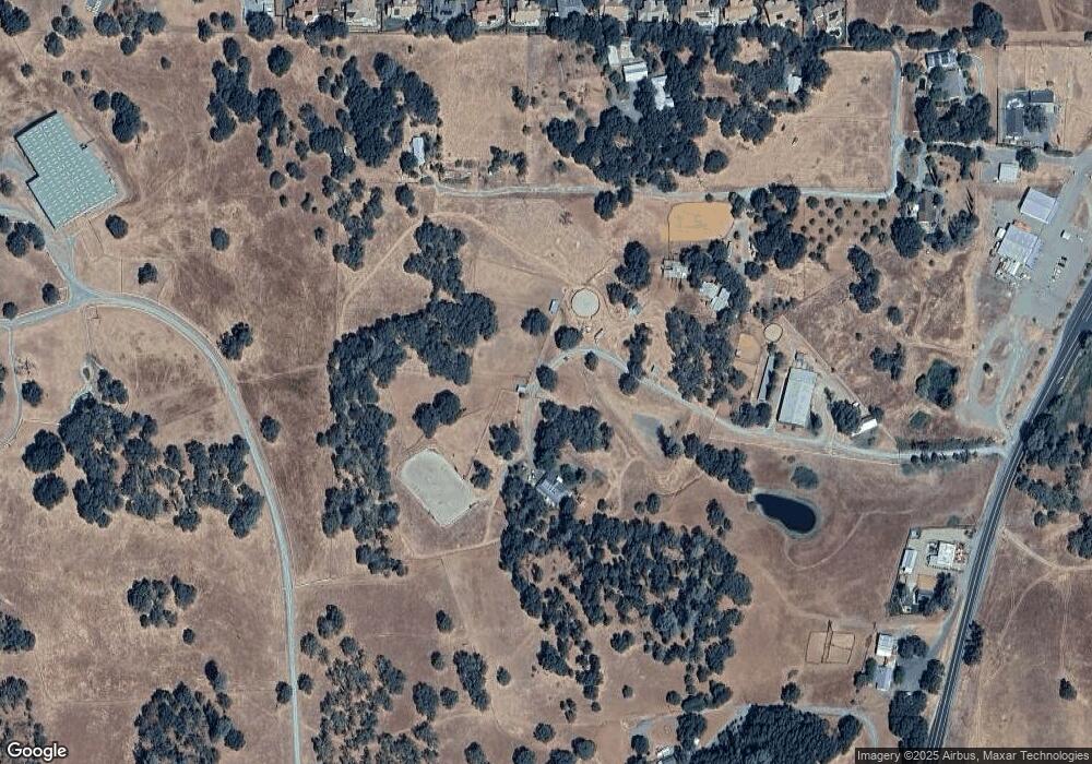
Map
Nearby Homes
- Residence Three Plan at Zinfandel Ridge II
- Residence Five Plan at Zinfandel Ridge II
- Residence Two Plan at Zinfandel Ridge II
- Residence One Plan at Zinfandel Ridge II
- 18389 Gerrans St
- 0 California 16
- 0 Pacific St Unit 225019475
- 18490 Empire St
- 8754 Port Dr
- 8825 Old Sacramento Rd Unit 7
- 8825 Old Sacramento Rd Unit 25
- 18900 Nugget Way
- 17695 Overlook Ct E
- 17905 Burke Dr
- 8567 Zinfandel Pkwy
- 9651 New Chicago Rd
- 0 Veauta Rd Unit 224125889
- 9840 New Chicago Rd
- 18350 Live Oak Ct W
- 18400 Live Oak Ct W
- 8850 Randolph Dr
- 17585 State Highway 49
- 8970 Randolph Dr
- 17705 State Highway 49
- 17705 State Highway 49
- 17800 Randolph Ct
- 17525 State Highway 49
- 8801 Randolph Dr
- 8975 Randolph Dr
- 8991 Randolph Dr
- 17465 State Highway 49
- 8822 Port Dr
- 8802 Port Dr
- 8888 Port Dr
- 8701 Randolph Dr
- 8817 Port Dr
- 8738 Port Dr
- 8867 Port Dr
- 8710 Vintner Dr
- 8069 Port Dr