Estimated Value: $242,000 - $415,694
4
Beds
2
Baths
2,368
Sq Ft
$148/Sq Ft
Est. Value
About This Home
This home is located at 17729 X Ave, Dike, IA 50624 and is currently estimated at $349,674, approximately $147 per square foot. 17729 X Ave is a home located in Grundy County with nearby schools including Dike Elementary School, New Hartford Elementary School, and Dike-New Hartford Junior High School.
Ownership History
Date
Name
Owned For
Owner Type
Purchase Details
Closed on
Jul 22, 2013
Sold by
Habben G Duane
Bought by
Bakker Jarrod D and Sell Bakker Shari M
Current Estimated Value
Home Financials for this Owner
Home Financials are based on the most recent Mortgage that was taken out on this home.
Original Mortgage
$22,500
Interest Rate
3.93%
Mortgage Type
Credit Line Revolving
Create a Home Valuation Report for This Property
The Home Valuation Report is an in-depth analysis detailing your home's value as well as a comparison with similar homes in the area
Purchase History
| Date | Buyer | Sale Price | Title Company |
|---|---|---|---|
| Bakker Jarrod D | $225,500 | None Available |
Source: Public Records
Mortgage History
| Date | Status | Borrower | Loan Amount |
|---|---|---|---|
| Closed | Bakker Jarrod D | $22,500 | |
| Closed | Bakker Jarrod D | $180,400 |
Source: Public Records
Tax History
| Year | Tax Paid | Tax Assessment Tax Assessment Total Assessment is a certain percentage of the fair market value that is determined by local assessors to be the total taxable value of land and additions on the property. | Land | Improvement |
|---|---|---|---|---|
| 2025 | $3,070 | $253,420 | $7,260 | $246,160 |
| 2024 | $3,070 | $239,030 | $5,820 | $233,210 |
| 2023 | $2,978 | $239,030 | $5,820 | $233,210 |
| 2022 | $2,516 | $188,116 | $4,626 | $183,490 |
| 2021 | $2,516 | $188,484 | $4,994 | $183,490 |
| 2020 | $2,288 | $171,571 | $4,701 | $166,870 |
| 2019 | $2,008 | $171,571 | $4,701 | $166,870 |
| 2018 | $1,944 | $163,366 | $6,116 | $157,250 |
| 2017 | $1,902 | $163,366 | $6,116 | $157,250 |
| 2016 | $1,902 | $151,944 | $0 | $0 |
| 2015 | $1,902 | $151,716 | $0 | $0 |
| 2014 | $1,878 | $151,679 | $0 | $0 |
Source: Public Records
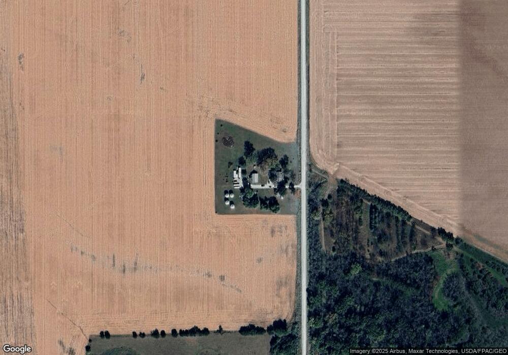
Map
Nearby Homes
- 0 Country Club Ln
- 416 E Elder St
- 617 4th St Unit middle unit
- 607 4th St Unit North unit
- 326 2nd St
- 5417 Fernwood Dr
- 5429 Fernwood Dr
- 2814 Autumn Woods Dr
- 2820 Autumn Woods Dr
- 2720 Autumn Woods Dr
- 2721 Autumn Woods Dr
- 2715 Autumn Woods Dr
- 2801 Autumn Woods Dr
- 2621 Autumn Woods Dr
- 2702 Arbor Ridge Rd
- 2709 Arbor Ridge Rd
- Lot 3 Viking Rd
- Lot 1 Viking Rd
- 18.1 Acres Viking Rd
- Lot 4B Viking Rd
Your Personal Tour Guide
Ask me questions while you tour the home.