17732 Westbrook St Aplington, IA 50604
Estimated Value: $247,000 - $282,000
4
Beds
2
Baths
1,652
Sq Ft
$160/Sq Ft
Est. Value
About This Home
This home is located at 17732 Westbrook St, Aplington, IA 50604 and is currently estimated at $265,044, approximately $160 per square foot. 17732 Westbrook St is a home located in Grundy County with nearby schools including Aplington Elementary School.
Ownership History
Date
Name
Owned For
Owner Type
Purchase Details
Closed on
Jun 2, 2011
Sold by
Bouchard Louis J and Bouchard Andrea M
Bought by
Truax Rusty L and Truax Morgan J
Current Estimated Value
Home Financials for this Owner
Home Financials are based on the most recent Mortgage that was taken out on this home.
Original Mortgage
$124,000
Outstanding Balance
$86,162
Interest Rate
4.8%
Mortgage Type
Purchase Money Mortgage
Estimated Equity
$178,882
Create a Home Valuation Report for This Property
The Home Valuation Report is an in-depth analysis detailing your home's value as well as a comparison with similar homes in the area
Home Values in the Area
Average Home Value in this Area
Purchase History
| Date | Buyer | Sale Price | Title Company |
|---|---|---|---|
| Truax Rusty L | $155,000 | -- |
Source: Public Records
Mortgage History
| Date | Status | Borrower | Loan Amount |
|---|---|---|---|
| Open | Truax Rusty L | $124,000 |
Source: Public Records
Tax History Compared to Growth
Tax History
| Year | Tax Paid | Tax Assessment Tax Assessment Total Assessment is a certain percentage of the fair market value that is determined by local assessors to be the total taxable value of land and additions on the property. | Land | Improvement |
|---|---|---|---|---|
| 2025 | $2,108 | $212,300 | $54,970 | $157,330 |
| 2024 | $2,108 | $200,500 | $54,970 | $145,530 |
| 2023 | $2,054 | $200,500 | $54,970 | $145,530 |
| 2022 | $1,774 | $158,230 | $45,980 | $112,250 |
| 2021 | $1,774 | $158,230 | $45,980 | $112,250 |
| 2020 | $1,250 | $149,150 | $45,980 | $103,170 |
| 2019 | $1,190 | $105,700 | $5,010 | $100,690 |
| 2018 | $1,170 | $98,407 | $6,567 | $91,840 |
| 2017 | $1,186 | $98,407 | $6,567 | $91,840 |
| 2016 | $1,186 | $99,263 | $0 | $0 |
| 2015 | $1,186 | $87,359 | $0 | $0 |
| 2014 | $1,034 | $87,359 | $0 | $0 |
Source: Public Records
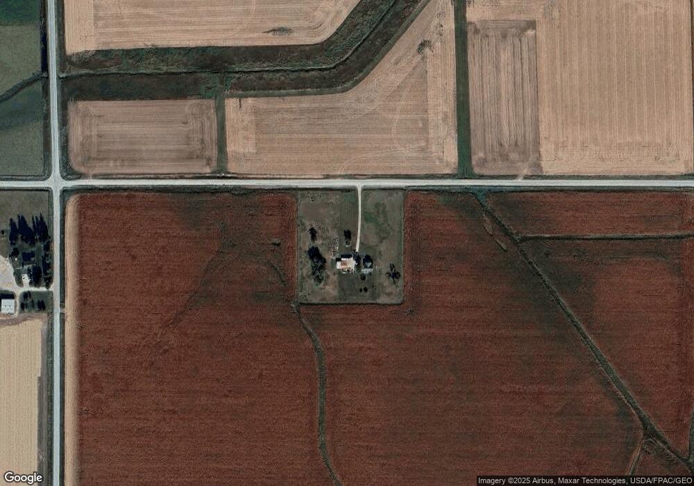
Map
Nearby Homes
- 502 7th St
- 14681 Westbrook St
- 31442 Keystone Ave
- 14815 Hwy 57
- 11857 L Ave
- TBD 300th St
- 17431 300th St
- 402 Bethel St
- 405 Bethel St
- 710 3rd St
- 511 3rd St
- 509 Lincoln St
- 408 1st St
- 706 Railroad St
- Conn Street Unit Parcel 1531202017
- 208 1st St
- 412 Dickens St
- 1205 Wemple St
- 209 Brookside Dr
- 1002 Falcon Ave