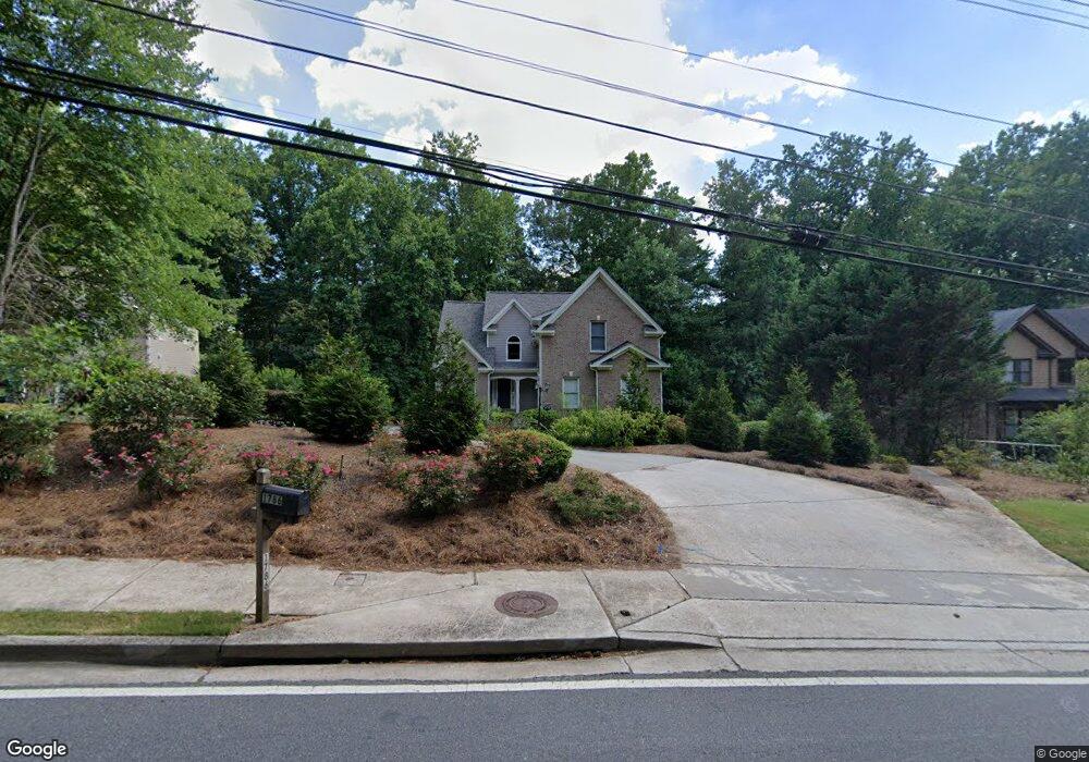
1774 Shallowford Rd Marietta, GA 30066
Sandy Plains NeighborhoodEstimated Value: $451,002 - $565,000
4
Beds
3
Baths
2,817
Sq Ft
$177/Sq Ft
Est. Value
About This Home
This home is located at 1774 Shallowford Rd, Marietta, GA 30066 and is currently estimated at $499,001, approximately $177 per square foot. 1774 Shallowford Rd is a home located in Cobb County with nearby schools including Nicholson Elementary School, McCleskey Middle School, and The Garden School.
Ownership History
Date
Name
Owned For
Owner Type
Purchase Details
Closed on
Mar 25, 2009
Sold by
Chan Hon L
Bought by
Weir Calvin and Weir Barbara
Current Estimated Value
Purchase Details
Closed on
Dec 19, 2003
Sold by
Perfect Home Llc;+
Bought by
Chan Hon L
Home Financials for this Owner
Home Financials are based on the most recent Mortgage that was taken out on this home.
Original Mortgage
$163,200
Interest Rate
5.97%
Mortgage Type
New Conventional
Create a Home Valuation Report for This Property
The Home Valuation Report is an in-depth analysis detailing your home's value as well as a comparison with similar homes in the area
Home Values in the Area
Average Home Value in this Area
Purchase History
| Date | Buyer | Sale Price | Title Company |
|---|---|---|---|
| Weir Calvin | $222,000 | -- | |
| Chan Hon L | $204,000 | -- |
Source: Public Records
Mortgage History
| Date | Status | Borrower | Loan Amount |
|---|---|---|---|
| Previous Owner | Chan Hon L | $163,200 |
Source: Public Records
Tax History Compared to Growth
Tax History
| Year | Tax Paid | Tax Assessment Tax Assessment Total Assessment is a certain percentage of the fair market value that is determined by local assessors to be the total taxable value of land and additions on the property. | Land | Improvement |
|---|---|---|---|---|
| 2025 | $1,069 | $156,816 | $70,216 | $86,600 |
| 2024 | $1,072 | $156,816 | $70,216 | $86,600 |
| 2023 | $789 | $131,000 | $46,812 | $84,188 |
| 2022 | $967 | $121,424 | $37,236 | $84,188 |
| 2021 | $887 | $94,688 | $28,724 | $65,964 |
| 2020 | $868 | $88,304 | $22,340 | $65,964 |
| 2019 | $868 | $88,304 | $22,340 | $65,964 |
| 2018 | $831 | $79,952 | $18,088 | $61,864 |
| 2017 | $699 | $77,824 | $15,960 | $61,864 |
| 2016 | $700 | $77,824 | $15,960 | $61,864 |
| 2015 | $627 | $66,428 | $9,576 | $56,852 |
| 2014 | $645 | $66,428 | $0 | $0 |
Source: Public Records
Map
Nearby Homes
- 1849 Service Dr NE
- 1718 Christie Dr NE
- 4181 Keheley Dr NE
- 1740 Latour Dr NE
- 1984 Credence Ct NE
- 3796 Hickory Ridge Ct
- 4281 Keheley Lake Dr NE
- 3703 Tulip Tree Rd
- 3844 Havenrock
- 3835 Rockhaven Ct
- 4314 Keheley Lake Ct NE
- 3634 Stonehenge Way NE
- 3816 Havenrock Dr
- 3812 Havenrock Dr
- 4262 Inlet Rd
- 3886 Ebenezer Rd
- 2124 Lassiter Field Dr NE
- 3980 Philmont Dr
- 1765 Blackwillow Dr
- 1833 Lake Ebenezer Trail NE
- 1786 Shallowford Rd
- 1762 Shallowford Rd
- 4160 Brasher Dr NE
- 4158 Brasher Dr NE
- 4162 Brasher Dr NE
- 4117 Tanbark Dr NE
- 4156 Brasher Dr NE Unit 1
- 1776 Jody Dr NE
- 1772 Jody Dr NE
- 4164 Brasher Dr NE Unit 1
- 1782 Jody Dr NE
- 1766 Jody Dr NE
- 4115 Tanbark Dr NE
- 4118 Tanbark Dr NE
- 4159 Brasher Dr NE
- 1786 Jody Dr NE
- 4161 Brasher Dr NE
- 1762 Jody Dr NE
- 1720 Shallowford Rd
- 4154 Brasher Dr NE