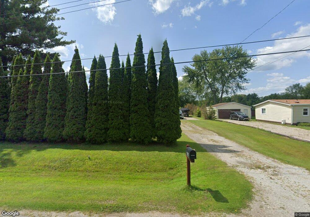
1775 Omar Rd Kimball, MI 48074
Estimated Value: $221,000 - $236,000
3
Beds
2
Baths
1,559
Sq Ft
$145/Sq Ft
Est. Value
About This Home
This home is located at 1775 Omar Rd, Kimball, MI 48074 and is currently estimated at $226,417, approximately $145 per square foot. 1775 Omar Rd is a home located in St. Clair County with nearby schools including Kimball Elementary School, Central Middle School, and Port Huron High School.
Create a Home Valuation Report for This Property
The Home Valuation Report is an in-depth analysis detailing your home's value as well as a comparison with similar homes in the area
Home Values in the Area
Average Home Value in this Area
Tax History
| Year | Tax Paid | Tax Assessment Tax Assessment Total Assessment is a certain percentage of the fair market value that is determined by local assessors to be the total taxable value of land and additions on the property. | Land | Improvement |
|---|---|---|---|---|
| 2025 | $885 | $109,800 | $0 | $0 |
| 2024 | $859 | $101,700 | $0 | $0 |
| 2023 | $787 | $98,100 | $0 | $0 |
| 2022 | $1,493 | $84,000 | $0 | $0 |
| 2020 | $1,386 | $79,100 | $79,100 | $0 |
| 2019 | $1,365 | $64,400 | $0 | $0 |
| 2018 | $1,310 | $56,500 | $0 | $0 |
| 2017 | $1,286 | $56,400 | $0 | $0 |
| 2016 | $662 | $56,400 | $0 | $0 |
| 2015 | -- | $54,700 | $54,700 | $0 |
| 2014 | -- | $46,500 | $46,500 | $0 |
| 2013 | -- | $53,500 | $0 | $0 |
Source: Public Records
Map
Nearby Homes
- 1786 Omar Rd
- V/L Allen
- 1604 Allen Rd
- 1405 Range Rd
- 00 Range Rd
- 00 Howard Rd
- 0000 Range Rd
- 0 Allen Rd Unit 20250008597
- 0 Allen Rd Unit 20250008612
- 1091 Allen Rd
- 1948 Meadowlark Ln
- 1906 Morningstar Ave
- 0 Wall Rd Unit 50185999
- 0 Ravenswood Rd Unit 20251017048
- 0000 Ravenswood Rd
- 5117 Ravenswood Rd
- 0 Lapeer Rd Unit 50137357
- 265 Westbrook Ct
- 0 Wadhams Rd Unit 50155021
- 174 Meadow Ln
Your Personal Tour Guide
Ask me questions while you tour the home.