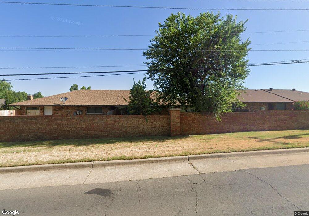
1776 Lionsgate Cir Bethany, OK 73008
Estimated Value: $111,824 - $145,000
2
Beds
2
Baths
1,081
Sq Ft
$120/Sq Ft
Est. Value
About This Home
This home is located at 1776 Lionsgate Cir, Bethany, OK 73008 and is currently estimated at $130,206, approximately $120 per square foot. 1776 Lionsgate Cir is a home located in Oklahoma County with nearby schools including Apollo Elementary School, Mayfield Middle School, and Putnam City West High School.
Ownership History
Date
Name
Owned For
Owner Type
Purchase Details
Closed on
Jun 22, 2012
Sold by
Dorough Bobby R and Dorough Bettye Jo
Bought by
Dorough Bobby R and Eisenberg Lori A
Current Estimated Value
Purchase Details
Closed on
Mar 15, 2008
Sold by
Craig Jane J
Bought by
Craig Jane and The Jane Craig Living Trust
Purchase Details
Closed on
Mar 30, 2006
Sold by
Potts Donna Kay and Potts Holley
Bought by
Craig Ralph V and Craig Jane J
Purchase Details
Closed on
Feb 27, 2004
Sold by
Law Max C and Law Elizabeth J
Bought by
Potts Donna Kay
Create a Home Valuation Report for This Property
The Home Valuation Report is an in-depth analysis detailing your home's value as well as a comparison with similar homes in the area
Home Values in the Area
Average Home Value in this Area
Purchase History
| Date | Buyer | Sale Price | Title Company |
|---|---|---|---|
| Dorough Bobby R | -- | Capital Abstract & Title Co | |
| Dorough Bobby R | $77,000 | None Available | |
| Craig Jane | -- | None Available | |
| Craig Ralph V | $83,000 | First American Title & Tr Co | |
| Potts Donna Kay | $75,000 | American Guaranty Title Co |
Source: Public Records
Tax History Compared to Growth
Tax History
| Year | Tax Paid | Tax Assessment Tax Assessment Total Assessment is a certain percentage of the fair market value that is determined by local assessors to be the total taxable value of land and additions on the property. | Land | Improvement |
|---|---|---|---|---|
| 2024 | $1,054 | $9,856 | $1,211 | $8,645 |
| 2023 | $1,054 | $9,568 | $1,228 | $8,340 |
| 2022 | $933 | $9,290 | $1,612 | $7,678 |
| 2021 | $899 | $9,020 | $1,871 | $7,149 |
| 2020 | $908 | $9,130 | $1,330 | $7,800 |
| 2019 | $901 | $9,102 | $1,310 | $7,792 |
| 2018 | $866 | $8,838 | $0 | $0 |
| 2017 | $954 | $8,579 | $1,330 | $7,249 |
| 2016 | $933 | $8,518 | $1,399 | $7,119 |
| 2015 | $848 | $8,011 | $1,399 | $6,612 |
| 2014 | $896 | $8,841 | $1,399 | $7,442 |
Source: Public Records
Map
Nearby Homes
- 1231 N Chisholm Rd
- 2117 N Keeton Ave
- 7001 NW 12th St
- 2201 N Mueller Ave
- 7029 NW 12th St
- 1847 N Allen Ln
- 7115 NW 16th St Unit 7115
- 7111 NW 16th St
- 7123 NW 16th St Unit 7123
- 7183 NW 16th St Unit 1/2
- 2305 N Gleason Ave
- 2312 N Donald Ave
- 2317 N Redmond Ave
- 1609 Kavel Dr
- 1630 Kavel Dr
- 2112 N Wilburn Ave
- 2104 N Wilburn Ave
- 1925 Melanie Dr
- 1724 N Fordson Ave
- 6606 NW 26th St
- 1774 Lionsgate Cir
- 1778 Lionsgate Cir
- 1780 Lionsgate Cir
- 1772 Lionsgate Cir
- 1770 Lionsgate Cir
- 1768 Lionsgate Cir
- 1749 Lionsgate Cir
- 1747 Lionsgate Cir
- 1745 Lionsgate Cir
- 1766 Lionsgate Cir
- 1700 Lionsgate Cir
- 1743 Lionsgate Cir
- 1762 Lionsgate Cir
- 1702 Lionsgate Cir
- 1725 Lionsgate Cir
- 1700 N Gleason Ave
- 1760 Lionsgate Cir
- 1712 N Gleason Ave
- 1704 Lionsgate Cir
- 1727 Lionsgate Cir