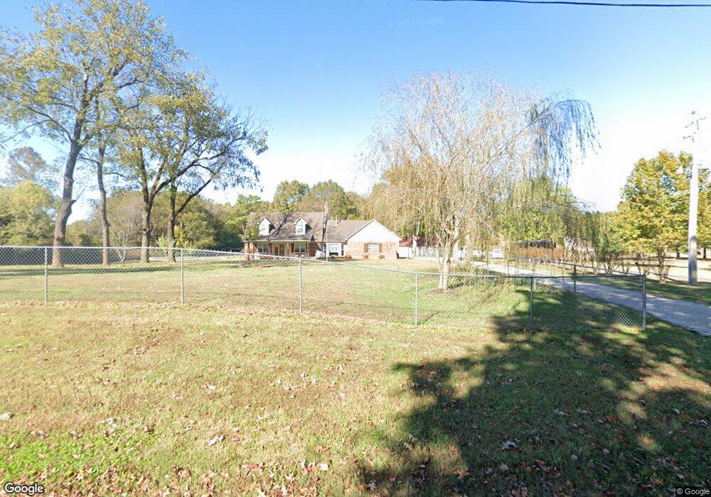
1776 Locke Rd Millington, TN 38053
Estimated Value: $350,110 - $410,000
3
Beds
4
Baths
2,424
Sq Ft
$154/Sq Ft
Est. Value
About This Home
This home is located at 1776 Locke Rd, Millington, TN 38053 and is currently estimated at $373,778, approximately $154 per square foot. 1776 Locke Rd is a home located in Shelby County with nearby schools including E.E. Jeter Elementary School, Trezevant High School, and Woodlawn Baptist Academy.
Ownership History
Date
Name
Owned For
Owner Type
Purchase Details
Closed on
May 29, 2003
Sold by
Ursery Ronald G and Ursery Bonnie S
Bought by
Gates William C and Gates Marion S
Current Estimated Value
Home Financials for this Owner
Home Financials are based on the most recent Mortgage that was taken out on this home.
Original Mortgage
$201,960
Outstanding Balance
$87,826
Interest Rate
5.68%
Mortgage Type
VA
Estimated Equity
$285,952
Purchase Details
Closed on
Oct 15, 1997
Sold by
Robison Daryll W
Bought by
Ursery Ronald G and Ursery Bonnie S
Home Financials for this Owner
Home Financials are based on the most recent Mortgage that was taken out on this home.
Original Mortgage
$24,000
Interest Rate
10.5%
Create a Home Valuation Report for This Property
The Home Valuation Report is an in-depth analysis detailing your home's value as well as a comparison with similar homes in the area
Home Values in the Area
Average Home Value in this Area
Purchase History
| Date | Buyer | Sale Price | Title Company |
|---|---|---|---|
| Gates William C | $198,000 | -- | |
| Ursery Ronald G | $28,000 | -- |
Source: Public Records
Mortgage History
| Date | Status | Borrower | Loan Amount |
|---|---|---|---|
| Open | Gates William C | $201,960 | |
| Previous Owner | Ursery Ronald G | $24,000 |
Source: Public Records
Tax History Compared to Growth
Tax History
| Year | Tax Paid | Tax Assessment Tax Assessment Total Assessment is a certain percentage of the fair market value that is determined by local assessors to be the total taxable value of land and additions on the property. | Land | Improvement |
|---|---|---|---|---|
| 2025 | $2,165 | $84,575 | $13,325 | $71,250 |
| 2024 | $2,165 | $63,850 | $11,700 | $52,150 |
| 2023 | $2,165 | $63,850 | $11,700 | $52,150 |
| 2022 | $2,165 | $63,850 | $11,700 | $52,150 |
| 2021 | $2,203 | $63,850 | $11,700 | $52,150 |
| 2020 | $1,800 | $44,450 | $10,625 | $33,825 |
| 2019 | $1,800 | $44,450 | $10,625 | $33,825 |
| 2018 | $1,800 | $44,450 | $10,625 | $33,825 |
| 2017 | $1,827 | $44,450 | $10,625 | $33,825 |
| 2016 | $1,814 | $41,500 | $0 | $0 |
| 2014 | $1,814 | $41,500 | $0 | $0 |
Source: Public Records
Map
Nearby Homes
- 1 Walsh Rd
- 6234 Woodstock Cuba Rd
- 6770 Camp John Rd
- 6525 N Watkins Rd
- 0 N Watkins Unit 10203950
- 0 N Watkins Unit 10193620
- 1435 Walsh Cove
- 1907 Campbell Rd
- 2714 Moonview Rd
- 6007 Island Forty Rd
- 7441 Walsh Rd
- 6224 Benjestown Rd
- 5921 Benjestown Rd
- 5907 Old Millington Rd
- 5387 Cornstalk Cove
- 7265 Ward Rd
- 6621 Benjestown Rd
- 5371 Cedar Bluff Dr
- 5423 Breckenwood Dr
- 7550 Woodstock Cuba Rd