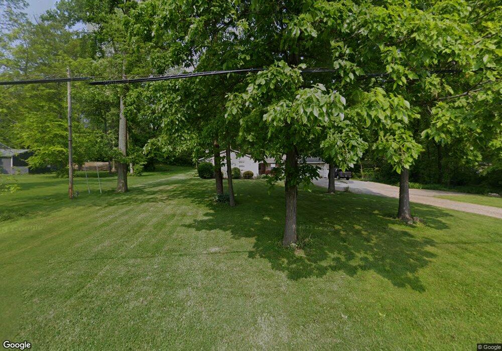
1776 Mansfield Washington Rd Mansfield, OH 44903
Estimated Value: $210,000 - $287,000
3
Beds
2
Baths
1,789
Sq Ft
$148/Sq Ft
Est. Value
About This Home
This home is located at 1776 Mansfield Washington Rd, Mansfield, OH 44903 and is currently estimated at $264,009, approximately $147 per square foot. 1776 Mansfield Washington Rd is a home located in Richland County.
Ownership History
Date
Name
Owned For
Owner Type
Purchase Details
Closed on
Jan 18, 2007
Sold by
Shinabarker Chris E and Shinabarker Kelly S
Bought by
Lemon Ronald G and Lemon Julie A
Current Estimated Value
Home Financials for this Owner
Home Financials are based on the most recent Mortgage that was taken out on this home.
Original Mortgage
$135,000
Interest Rate
6.21%
Mortgage Type
Purchase Money Mortgage
Purchase Details
Closed on
Aug 31, 1990
Purchase Details
Closed on
Feb 1, 1985
Create a Home Valuation Report for This Property
The Home Valuation Report is an in-depth analysis detailing your home's value as well as a comparison with similar homes in the area
Home Values in the Area
Average Home Value in this Area
Purchase History
| Date | Buyer | Sale Price | Title Company |
|---|---|---|---|
| Lemon Ronald G | $150,000 | Chicago Title | |
| -- | $70,000 | -- | |
| -- | $61,900 | -- |
Source: Public Records
Mortgage History
| Date | Status | Borrower | Loan Amount |
|---|---|---|---|
| Closed | Lemon Ronald G | $135,000 |
Source: Public Records
Tax History Compared to Growth
Tax History
| Year | Tax Paid | Tax Assessment Tax Assessment Total Assessment is a certain percentage of the fair market value that is determined by local assessors to be the total taxable value of land and additions on the property. | Land | Improvement |
|---|---|---|---|---|
| 2024 | $3,466 | $78,980 | $9,730 | $69,250 |
| 2023 | $3,466 | $78,980 | $9,730 | $69,250 |
| 2022 | $2,767 | $56,280 | $8,360 | $47,920 |
| 2021 | $2,807 | $56,280 | $8,360 | $47,920 |
| 2020 | $2,645 | $56,280 | $8,360 | $47,920 |
| 2019 | $2,474 | $47,320 | $7,000 | $40,320 |
| 2018 | $2,451 | $47,320 | $7,000 | $40,320 |
| 2017 | $2,403 | $47,320 | $7,000 | $40,320 |
| 2016 | $2,226 | $42,610 | $5,960 | $36,650 |
| 2015 | $2,226 | $42,610 | $5,960 | $36,650 |
| 2014 | $2,093 | $42,610 | $5,960 | $36,650 |
| 2012 | $1,015 | $43,930 | $6,150 | $37,780 |
Source: Public Records
Map
Nearby Homes
- 2061 Washington North Rd
- 1135 E Hanley Rd
- 1875 Mansfield Lucas Rd
- 1679 Pulver Rd
- 0 Garver Washington Rd S
- 0 Woodville Rd Unit Lot 14952, 14953
- 0 Woodville Rd Unit Lot 14954, 14955
- 0 Woodville Rd Unit Lot 14956, 14957,
- 0 Garver Rd Washington Rd S Unit 20253648
- 929 Antionette Dr
- 1680 S Main St
- 1599 S Main St
- 0 Yoha Dr
- 0 State Route 39 & I-71 Southeast Quadrant
- 794 Mansfield Washington Rd
- 0 State Route 39 & I-71 Northeast Quadrant
- 129 Elderberry Dr
- 65 Logan Rd
- 154 Elderberry Dr
- 148 Elderberry Dr
- 1776 Washington North Rd
- 1800 Washington North Rd
- 1824 Washington North Rd
- 1824 Mansfield Washington Rd
- 1808 Washington North Rd
- 1827 Washington North Rd
- 1836 Washington North Rd
- 1836 Mansfield Washington Rd
- 1836 Washington-North Rd
- 1815 Washington North Rd
- 1815 Mansfield Washington Rd
- 1815 Washington-North Rd
- 1833 Washington North Rd
- 1815 Washington North Rd
- 1801 Washington North Rd
- 1840 Washington North Rd
- 2325 Mansfield Washington Rd
- 1818 Washington North Rd
- 1827 Mansfield Washington Rd
- 1844 Washington North Rd