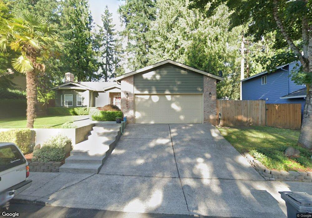
Estimated Value: $457,542 - $500,000
3
Beds
2
Baths
1,500
Sq Ft
$320/Sq Ft
Est. Value
About This Home
This home is located at 17760 Loundree Dr, Sandy, OR 97055 and is currently estimated at $480,386, approximately $320 per square foot. 17760 Loundree Dr is a home located in Clackamas County with nearby schools including Sandy Grade School, Cedar Ridge Middle School, and Sandy High School.
Ownership History
Date
Name
Owned For
Owner Type
Purchase Details
Closed on
Jan 29, 2009
Sold by
Lee Jason K
Bought by
Webster Ashley
Current Estimated Value
Home Financials for this Owner
Home Financials are based on the most recent Mortgage that was taken out on this home.
Original Mortgage
$225,490
Outstanding Balance
$142,224
Interest Rate
5.14%
Mortgage Type
FHA
Estimated Equity
$338,162
Purchase Details
Closed on
Nov 16, 2001
Sold by
Mortgage Guaranty Insurance Corp
Bought by
Lee Jason K
Home Financials for this Owner
Home Financials are based on the most recent Mortgage that was taken out on this home.
Original Mortgage
$152,605
Interest Rate
6.57%
Mortgage Type
FHA
Purchase Details
Closed on
Mar 15, 2001
Sold by
Spinks Andrew and Spinks Gina
Bought by
Federal National Mortgage Association
Create a Home Valuation Report for This Property
The Home Valuation Report is an in-depth analysis detailing your home's value as well as a comparison with similar homes in the area
Home Values in the Area
Average Home Value in this Area
Purchase History
| Date | Buyer | Sale Price | Title Company |
|---|---|---|---|
| Webster Ashley | $229,650 | Fidelity Natl Title Co Of Or | |
| Lee Jason K | $155,000 | Chicago Title Insurance Co | |
| Federal National Mortgage Association | $122,536 | Pacific Nw Title |
Source: Public Records
Mortgage History
| Date | Status | Borrower | Loan Amount |
|---|---|---|---|
| Open | Webster Ashley | $225,490 | |
| Previous Owner | Lee Jason K | $152,605 |
Source: Public Records
Tax History Compared to Growth
Tax History
| Year | Tax Paid | Tax Assessment Tax Assessment Total Assessment is a certain percentage of the fair market value that is determined by local assessors to be the total taxable value of land and additions on the property. | Land | Improvement |
|---|---|---|---|---|
| 2025 | $4,476 | $260,931 | -- | -- |
| 2024 | $4,288 | $253,332 | -- | -- |
| 2023 | $4,288 | $245,954 | $0 | $0 |
| 2022 | $4,062 | $238,791 | $0 | $0 |
| 2021 | $3,922 | $231,836 | $0 | $0 |
| 2020 | $3,816 | $225,084 | $0 | $0 |
| 2019 | $3,779 | $218,529 | $0 | $0 |
| 2018 | $3,674 | $212,164 | $0 | $0 |
| 2017 | $3,585 | $205,984 | $0 | $0 |
| 2016 | $3,462 | $199,984 | $0 | $0 |
| 2015 | $3,363 | $194,159 | $0 | $0 |
| 2014 | $3,275 | $188,504 | $0 | $0 |
Source: Public Records
Map
Nearby Homes
- 17675 Wolf Dr
- 0 Oregon 211
- 39647 Pleasant St
- 40195 SE Highway 26
- 17140 Fir Dr
- 39784 Syblon Ln
- 18050 SE Langensand Rd
- 38851 Sandy Heights St
- 17093 Hood Ct
- 39584 Wall St
- 18653 Van Fleet Ave
- 18712 Cloud Cap Ave
- 18462 SE Langensand Rd
- 38766 Barlow Pkwy
- 38565 Pleasant St
- 18465 Meadow Ave
- 40510 SE Cedar Creek Rd
- 17925 Beebee Ct
- 38376 Hood St
- 0 U S Highway 26
- 17740 Loundree Dr
- 17795 Wolf Dr
- 17815 Wolf Dr
- 17775 Wolf Dr
- 17800 Loundree Dr
- 17755 Loundree Dr
- 17835 Wolf Dr
- 17720 Loundree Dr
- 17775 Loundree Dr
- 17735 Loundree Dr
- 17795 Loundree Dr
- 17725 Wolf Dr
- 17855 Wolf Dr
- 17714 Loundree Dr
- 17820 Loundree Dr
- 39435 Kimberly Dr
- 17790 Wolf Dr
- 17800 Wolf Dr
- 39495 Kimberly Dr
- 39415 Kimberly Dr
