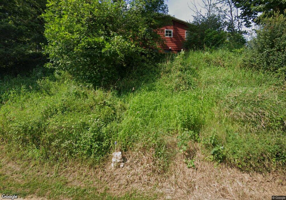
1777 Old Mill Rd Dubuque, IA 52003
Estimated Value: $138,000 - $321,000
2
Beds
2
Baths
1,848
Sq Ft
$131/Sq Ft
Est. Value
About This Home
This home is located at 1777 Old Mill Rd, Dubuque, IA 52003 and is currently estimated at $243,000, approximately $131 per square foot. 1777 Old Mill Rd is a home located in Dubuque County with nearby schools including Table Mound Elementary School, Eleanor Roosevelt Middle School, and Dubuque Senior High School.
Ownership History
Date
Name
Owned For
Owner Type
Purchase Details
Closed on
Jul 9, 2015
Sold by
Swift Norma J
Bought by
Swift David A
Current Estimated Value
Home Financials for this Owner
Home Financials are based on the most recent Mortgage that was taken out on this home.
Original Mortgage
$45,600
Interest Rate
4.05%
Mortgage Type
New Conventional
Purchase Details
Closed on
Dec 8, 2010
Sold by
Swift Gerald T and Swift Norma Jean
Bought by
The Gerald T Swift & Norma J Swift Revoc
Create a Home Valuation Report for This Property
The Home Valuation Report is an in-depth analysis detailing your home's value as well as a comparison with similar homes in the area
Purchase History
| Date | Buyer | Sale Price | Title Company |
|---|---|---|---|
| Swift David A | $57,000 | None Available | |
| The Gerald T Swift & Norma J Swift Revoc | -- | None Available |
Source: Public Records
Mortgage History
| Date | Status | Borrower | Loan Amount |
|---|---|---|---|
| Closed | Swift David A | $45,600 |
Source: Public Records
Tax History
| Year | Tax Paid | Tax Assessment Tax Assessment Total Assessment is a certain percentage of the fair market value that is determined by local assessors to be the total taxable value of land and additions on the property. | Land | Improvement |
|---|---|---|---|---|
| 2025 | $1,108 | $80,200 | $22,500 | $57,700 |
| 2024 | $1,108 | $77,000 | $21,200 | $55,800 |
| 2023 | $1,074 | $77,000 | $21,200 | $55,800 |
| 2022 | $1,158 | $70,060 | $21,170 | $48,890 |
| 2021 | $1,158 | $70,060 | $21,170 | $48,890 |
| 2020 | $1,162 | $65,350 | $21,170 | $44,180 |
| 2019 | $1,194 | $65,350 | $21,170 | $44,180 |
| 2018 | $1,176 | $64,220 | $21,170 | $43,050 |
| 2017 | $1,544 | $64,220 | $21,170 | $43,050 |
| 2016 | $1,544 | $79,930 | $28,220 | $51,710 |
| 2015 | $1,284 | $79,930 | $28,220 | $51,710 |
| 2014 | $1,240 | $79,410 | $28,220 | $51,190 |
Source: Public Records
Map
Nearby Homes
- Lot 128 Edenbrook Ln
- Lot 126 Edenbrook Ln
- Lot 125 Edenbrook Ln
- Lot 130 Edenbrook Ln
- Lot 127 Edenbrook Ln
- 1730 Creek Wood Dr
- 2438 Rolling Creek Ln
- Lot 129 Rolling Creek Ln
- Lot 24 Rolling Creek Ln
- Lot 25 Rolling Creek Ln
- 1368 Autumn Ridge Ln
- 1370 Autumn Ridge Ln
- 1462 Autumn Ridge Ln
- Lot 35 Fieldstone Ct
- 1378 Autumn Ridge Ln
- Lot 12 Autumn Ridge Ln
- Lot 131 Autumn Ridge Ln
- Lot 11 Autumn Ridge Ln
- Lot 14 Autumn Ridge Ln
- Lot 10 Autumn Ridge Ln
- 1711 Old Mill Rd
- 1845 Old Mill Rd
- 1834 Old Mill Rd
- 1846 Old Mill Rd
- 1875 Rockdale Rd
- 1899 Rockdale Rd
- 1901 Rockdale Rd
- 1932 Rockdale Rd
- 1961 Rockdale Rd
- 1967 Rockdale Rd
- 1940 Rockdale Rd
- 1972 Rockdale Rd
- 1658 Manson Rd
- 1980 Rockdale Rd
- 1600 Manson Rd
- 1991 Rockdale Rd
- 1632 Manson Rd
- 1654 Manson Rd
- 1580 Old Mill Rd
- 1730 Rockdale Rd
Your Personal Tour Guide
Ask me questions while you tour the home.