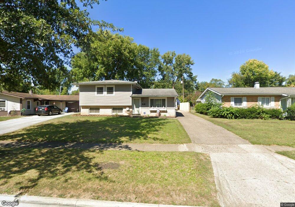
1777 Simpson Dr Columbus, OH 43227
Leawood NeighborhoodEstimated Value: $177,000 - $222,000
3
Beds
2
Baths
1,235
Sq Ft
$162/Sq Ft
Est. Value
About This Home
This home is located at 1777 Simpson Dr, Columbus, OH 43227 and is currently estimated at $200,026, approximately $161 per square foot. 1777 Simpson Dr is a home located in Franklin County with nearby schools including Leawood Elementary School, Sherwood Middle School, and Walnut Ridge High School.
Ownership History
Date
Name
Owned For
Owner Type
Purchase Details
Closed on
Aug 20, 2018
Sold by
Edwards Marjorie M and Citi Bank Na
Bought by
Federal National Mortgage Association
Current Estimated Value
Purchase Details
Closed on
Dec 22, 2009
Sold by
Graves Roger A and Roger A Graves Trust
Bought by
Frost Patsy L
Home Financials for this Owner
Home Financials are based on the most recent Mortgage that was taken out on this home.
Original Mortgage
$97,680
Interest Rate
4.9%
Mortgage Type
FHA
Purchase Details
Closed on
Oct 23, 2000
Sold by
Graves Roger A and Graves Elizabeth J
Bought by
Graves Roger A and The Roger A Graves Trust
Purchase Details
Closed on
Oct 17, 1996
Sold by
Graves Roger A
Bought by
Roger A Graves
Purchase Details
Closed on
Oct 1, 1981
Create a Home Valuation Report for This Property
The Home Valuation Report is an in-depth analysis detailing your home's value as well as a comparison with similar homes in the area
Home Values in the Area
Average Home Value in this Area
Purchase History
| Date | Buyer | Sale Price | Title Company |
|---|---|---|---|
| Federal National Mortgage Association | $88,000 | None Available | |
| Frost Patsy L | $99,500 | Independent | |
| Graves Roger A | -- | -- | |
| Roger A Graves | $35,000 | -- | |
| -- | $48,000 | -- |
Source: Public Records
Mortgage History
| Date | Status | Borrower | Loan Amount |
|---|---|---|---|
| Previous Owner | Frost Patsy L | $97,680 |
Source: Public Records
Tax History
| Year | Tax Paid | Tax Assessment Tax Assessment Total Assessment is a certain percentage of the fair market value that is determined by local assessors to be the total taxable value of land and additions on the property. | Land | Improvement |
|---|---|---|---|---|
| 2025 | $2,051 | $55,510 | $14,770 | $40,740 |
| 2024 | $2,051 | $55,510 | $14,770 | $40,740 |
| 2023 | $2,053 | $55,510 | $14,770 | $40,740 |
| 2022 | $1,371 | $35,180 | $6,340 | $28,840 |
| 2021 | $1,373 | $35,180 | $6,340 | $28,840 |
| 2020 | $1,375 | $35,180 | $6,340 | $28,840 |
| 2019 | $1,153 | $27,760 | $5,080 | $22,680 |
| 2018 | $1,197 | $27,760 | $5,080 | $22,680 |
| 2017 | $1,153 | $27,760 | $5,080 | $22,680 |
| 2016 | $1,371 | $29,440 | $4,970 | $24,470 |
| 2015 | $1,244 | $29,440 | $4,970 | $24,470 |
| 2014 | $1,247 | $29,440 | $4,970 | $24,470 |
| 2013 | $769 | $34,615 | $5,845 | $28,770 |
Source: Public Records
Map
Nearby Homes
- 4475 Ellery Dr
- 1752 S Hamilton Rd
- 4589 Belfast Dr
- 1607 Baxter Dr
- 1654 Wilton Dr
- 4649 Dundee Ave
- 4636 Dundee Ave
- 1639 Shady Lane Rd
- 1612 Simpson Dr
- 1646 Clyde Place
- 4472 Aragon Ave
- 4701 Janis Dr
- 4677 E Livingston Ave
- 4467 Grimsby Rd
- 1666-1668 Carstare Dr
- 1490 Elaine Rd Unit 1462
- 0 Groves Rd
- 1640 Striebel Rd
- 1792 Bostwick Rd
- 1281 Maetzel Dr
- 1785 Simpson Dr
- 1769 Simpson Dr
- 4459 Drifton Dr
- 1761 Simpson Dr
- 1793 Simpson Dr
- 4467 Drifton Dr
- 4453 Drifton Dr
- 4460 Ellery Dr
- 4479 Drifton Dr
- 1784 Simpson Dr
- 4447 Drifton Dr
- 4452 Ellery Dr
- 1776 Simpson Dr
- 1751 Simpson Dr
- 4490 Ellery Dr
- 1768 Simpson Dr
- 4444 Ellery Dr
- 1760 Simpson Dr
- 4441 Drifton Dr
- 4454 Drifton Dr
Your Personal Tour Guide
Ask me questions while you tour the home.