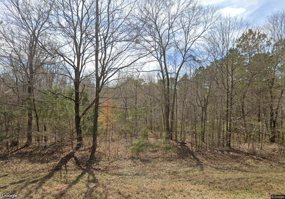
178 Antioch Rd Lagrange, GA 30240
Estimated Value: $314,000 - $868,000
2
Beds
1
Bath
805
Sq Ft
$722/Sq Ft
Est. Value
About This Home
This home is located at 178 Antioch Rd, Lagrange, GA 30240 and is currently estimated at $581,611, approximately $722 per square foot. 178 Antioch Rd is a home with nearby schools including Ethel W. Kight Elementary School, Hillcrest Elementary School, and Hollis Hand Elementary School.
Ownership History
Date
Name
Owned For
Owner Type
Purchase Details
Closed on
Nov 9, 2016
Sold by
Jane R
Bought by
Zachry James A
Current Estimated Value
Purchase Details
Closed on
Nov 10, 1999
Sold by
North Timber Corp
Bought by
Foster Jane R
Purchase Details
Closed on
Mar 5, 1998
Sold by
Charles L Foster
Bought by
North Timber Corp
Purchase Details
Closed on
Jun 26, 1991
Bought by
Charles L Foster
Purchase Details
Closed on
Nov 27, 1979
Create a Home Valuation Report for This Property
The Home Valuation Report is an in-depth analysis detailing your home's value as well as a comparison with similar homes in the area
Purchase History
| Date | Buyer | Sale Price | Title Company |
|---|---|---|---|
| Zachry James A | $443,000 | -- | |
| Foster Jane R | $45,400 | -- | |
| North Timber Corp | -- | -- | |
| Charles L Foster | $17,200 | -- | |
| -- | -- | -- |
Source: Public Records
Tax History
| Year | Tax Paid | Tax Assessment Tax Assessment Total Assessment is a certain percentage of the fair market value that is determined by local assessors to be the total taxable value of land and additions on the property. | Land | Improvement |
|---|---|---|---|---|
| 2025 | $1,609 | $156,200 | $124,080 | $32,120 |
| 2024 | $1,609 | $151,676 | $124,080 | $27,596 |
| 2023 | $1,538 | $149,892 | $124,080 | $25,812 |
| 2022 | $1,522 | $148,772 | $124,080 | $24,692 |
| 2021 | $1,389 | $138,032 | $119,800 | $18,232 |
| 2020 | $1,367 | $138,032 | $119,800 | $18,232 |
| 2019 | $1,289 | $131,140 | $112,480 | $18,660 |
| 2018 | $1,216 | $129,388 | $112,480 | $16,908 |
| 2017 | $1,160 | $129,388 | $112,480 | $16,908 |
| 2016 | $1,171 | $129,232 | $112,484 | $16,748 |
| 2015 | $920 | $129,232 | $112,484 | $16,748 |
| 2014 | $883 | $128,362 | $112,494 | $15,867 |
| 2013 | -- | $129,346 | $112,494 | $16,851 |
Source: Public Records
Map
Nearby Homes
- 3414 Rock Mills Rd
- 4377 Rock Mills Rd
- 42 Deer Pointe Ct
- TRACT 3 AND 4 Sheppard Rd
- 353 Retreat Trail
- 261 Retreat Trail
- 341 Retreat Trail
- 325 Retreat Trail
- 47 Fish Camp
- 291 Retreat Trail
- 227 Retreat Trail
- 15 Williams Ct
- 50 Fish Camp
- 280 Wolf Creek Cove
- 0 County Road 684 Unit 21414226
- 33 Wolf Creek Cove
- 163 Terri Rd
- 40 Wolf Creek Cove
- 100 Wolf Creek Cove
- 144 Wolf Creek Cove
