178 Cross St Hanson, MA 02341
Estimated Value: $563,099 - $722,000
3
Beds
1
Bath
1,248
Sq Ft
$507/Sq Ft
Est. Value
About This Home
This home is located at 178 Cross St, Hanson, MA 02341 and is currently estimated at $632,775, approximately $507 per square foot. 178 Cross St is a home located in Plymouth County.
Ownership History
Date
Name
Owned For
Owner Type
Purchase Details
Closed on
Aug 4, 1997
Sold by
Christensen Jon E
Bought by
Thomson Ronald S
Current Estimated Value
Home Financials for this Owner
Home Financials are based on the most recent Mortgage that was taken out on this home.
Original Mortgage
$120,600
Interest Rate
7.55%
Mortgage Type
Purchase Money Mortgage
Purchase Details
Closed on
May 1, 1997
Sold by
Robohm Robert E and Robohm Grace A
Bought by
Christensen Jon E
Create a Home Valuation Report for This Property
The Home Valuation Report is an in-depth analysis detailing your home's value as well as a comparison with similar homes in the area
Home Values in the Area
Average Home Value in this Area
Purchase History
| Date | Buyer | Sale Price | Title Company |
|---|---|---|---|
| Thomson Ronald S | $134,000 | -- | |
| Christensen Jon E | $121,500 | -- |
Source: Public Records
Mortgage History
| Date | Status | Borrower | Loan Amount |
|---|---|---|---|
| Open | Christensen Jon E | $155,000 | |
| Closed | Christensen Jon E | $135,800 | |
| Closed | Christensen Jon E | $120,600 |
Source: Public Records
Tax History
| Year | Tax Paid | Tax Assessment Tax Assessment Total Assessment is a certain percentage of the fair market value that is determined by local assessors to be the total taxable value of land and additions on the property. | Land | Improvement |
|---|---|---|---|---|
| 2025 | $7,633 | $570,500 | $182,800 | $387,700 |
| 2024 | $7,415 | $554,200 | $177,500 | $376,700 |
| 2023 | $7,250 | $511,300 | $177,500 | $333,800 |
| 2022 | $7,017 | $465,000 | $161,400 | $303,600 |
| 2021 | $4,113 | $419,500 | $155,200 | $264,300 |
| 2020 | $5,027 | $329,200 | $149,900 | $179,300 |
| 2019 | $3,884 | $266,300 | $147,000 | $119,300 |
| 2018 | $3,623 | $258,200 | $141,400 | $116,800 |
| 2017 | $7,577 | $247,900 | $134,600 | $113,300 |
| 2016 | $4,022 | $243,000 | $134,600 | $108,400 |
| 2015 | $3,832 | $240,700 | $134,600 | $106,100 |
Source: Public Records
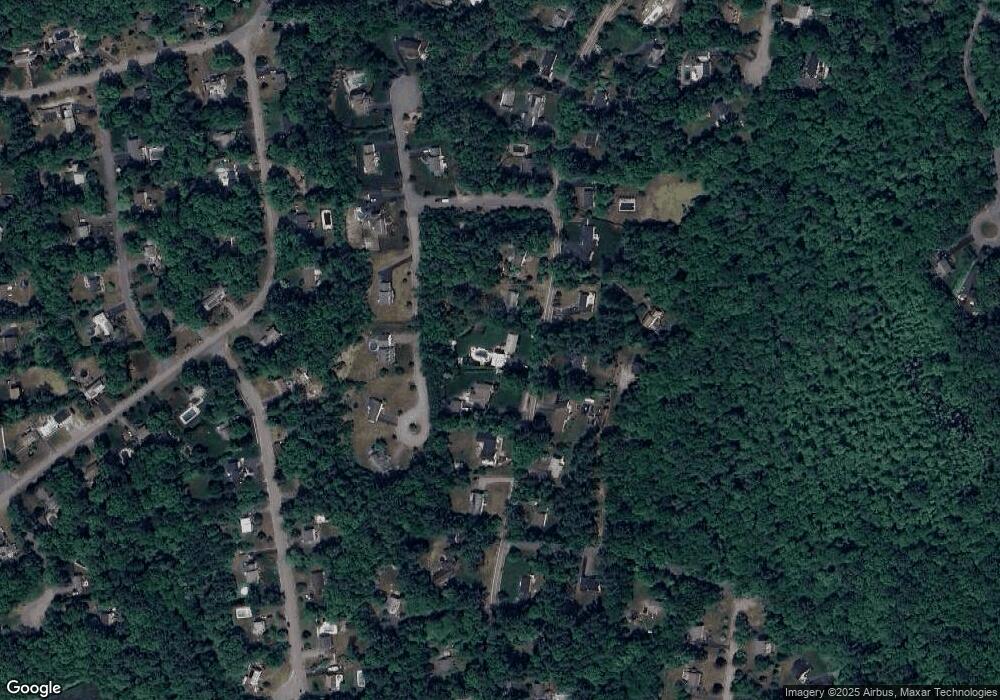
Map
Nearby Homes
- 127 Crescent Place
- 134 Crescent St
- 269 Lakeside Rd
- 339 State St
- 161 Winter St Unit 11
- 26 Stonebridge Dr
- 430 Brook Bend Rd
- Lot 6 Way
- 139 Fairwood Dr
- 66 Wildwood Rd
- 84 Liberty St
- 108 Waterford Dr
- Lot 5 Princeton Way
- 361 County Rd
- 361A County Rd
- 51 Farmside Dr
- 7 Andrew Dr
- 285 W Elm St
- 7 Farmside Dr
- 724 Whitman St
Your Personal Tour Guide
Ask me questions while you tour the home.