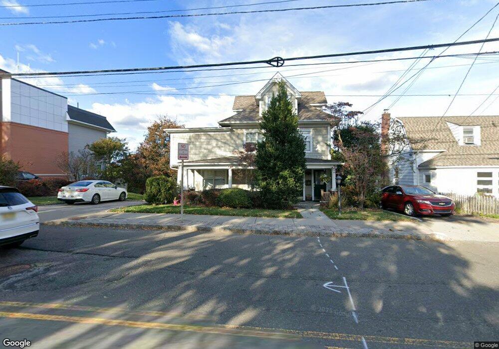
178 E Lindsley Rd Unit 2 Cedar Grove, NJ 07009
Estimated Value: $785,000 - $928,000
2
Beds
1
Bath
2,240
Sq Ft
$377/Sq Ft
Est. Value
About This Home
This home is located at 178 E Lindsley Rd Unit 2, Cedar Grove, NJ 07009 and is currently estimated at $845,032, approximately $377 per square foot. 178 E Lindsley Rd Unit 2 is a home located in Essex County with nearby schools including Cedar Grove High School, Monarch Montessori School, and Banyan Upper School.
Ownership History
Date
Name
Owned For
Owner Type
Purchase Details
Closed on
May 20, 2020
Sold by
Altunaga Judy Eve and Altunaga Mary Ann
Bought by
Mustafa Adam
Current Estimated Value
Home Financials for this Owner
Home Financials are based on the most recent Mortgage that was taken out on this home.
Original Mortgage
$510,000
Interest Rate
3.3%
Mortgage Type
New Conventional
Create a Home Valuation Report for This Property
The Home Valuation Report is an in-depth analysis detailing your home's value as well as a comparison with similar homes in the area
Home Values in the Area
Average Home Value in this Area
Purchase History
| Date | Buyer | Sale Price | Title Company |
|---|---|---|---|
| Mustafa Adam | $600,000 | Sunnyside Title | |
| Mustafa Adam | $600,000 | Sunnyside Title |
Source: Public Records
Mortgage History
| Date | Status | Borrower | Loan Amount |
|---|---|---|---|
| Previous Owner | Mustafa Adam | $510,000 |
Source: Public Records
Tax History
| Year | Tax Paid | Tax Assessment Tax Assessment Total Assessment is a certain percentage of the fair market value that is determined by local assessors to be the total taxable value of land and additions on the property. | Land | Improvement |
|---|---|---|---|---|
| 2025 | $13,199 | $505,700 | $243,400 | $262,300 |
| 2024 | $13,199 | $505,700 | $243,400 | $262,300 |
| 2022 | $12,966 | $505,700 | $243,400 | $262,300 |
| 2021 | $12,809 | $505,700 | $243,400 | $262,300 |
| 2020 | $12,115 | $471,400 | $243,400 | $228,000 |
| 2019 | $11,837 | $471,400 | $243,400 | $228,000 |
| 2018 | $11,295 | $471,400 | $243,400 | $228,000 |
| 2017 | $11,172 | $471,400 | $243,400 | $228,000 |
| 2016 | $10,828 | $471,400 | $243,400 | $228,000 |
| 2015 | $10,578 | $471,400 | $243,400 | $228,000 |
| 2014 | $10,361 | $471,400 | $243,400 | $228,000 |
Source: Public Records
Map
Nearby Homes
- 204 E Lindsley Rd
- 3 Adelina Ct
- 26 Chestnut Ct
- 23 Brookhill Place
- 77 Stevens Ave
- 13 Mountain Ridge Dr
- 215 Eileen Dr
- 811 Holly Ln
- 185 Wilmore Rd
- 207 Eileen Dr
- 36 Lincoln Ave
- 45 Wilmore Rd
- 659 Mountain Ave
- 15 Lawrence Way
- 13 Lawrence Way
- 5 Tulip Crescent Unit 1C
- 240 Main St Unit 305
- 300 Main St Unit 811
- 300 Main St Unit 413
- 857 Pompton Ave
- 178 E Lindsley Rd
- 184 E Lindsley Rd
- 190 E Lindsley Rd
- 190 E Lindsley Rd Unit 2
- 17 Marley Ave
- 21 Marley Ave
- 29 Marley Ave
- 185 Stevens Ave
- 185 Stevens Ave Unit 2
- 167 E Lindsley Rd
- 192 E Lindsley Rd
- 192 E Lindsley Rd Unit 2
- 33 Marley Ave
- 32 Anderson Pkwy
- 11 Marley Ave
- 28 Anderson Pkwy
- 165 E Lindsley Rd
- 36 Anderson Pkwy
- 191 Stevens Ave
- 193 Stevens Ave
Your Personal Tour Guide
Ask me questions while you tour the home.