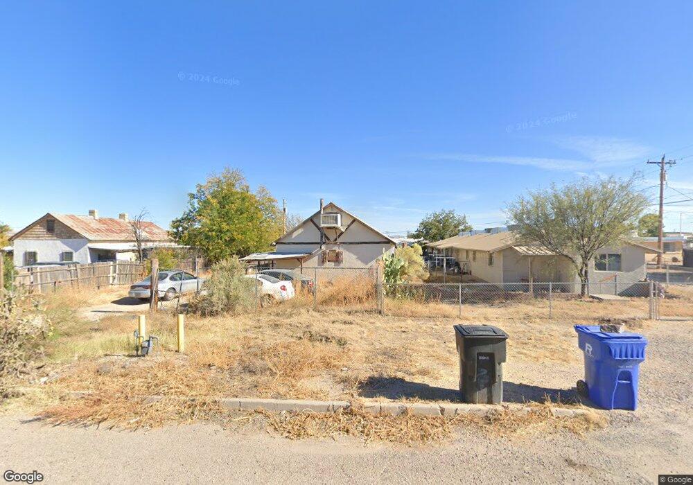
178 N Shady Ln Benson, AZ 85602
Estimated Value: $102,000 - $173,000
2
Beds
1
Bath
1,067
Sq Ft
$119/Sq Ft
Est. Value
About This Home
This home is located at 178 N Shady Ln, Benson, AZ 85602 and is currently estimated at $126,520, approximately $118 per square foot. 178 N Shady Ln is a home located in Cochise County with nearby schools including Benson Primary School, Benson Middle School, and Benson High School.
Ownership History
Date
Name
Owned For
Owner Type
Purchase Details
Closed on
Sep 6, 2012
Sold by
American Eagle Mortgage 600 Llc
Bought by
Jasper Michael
Current Estimated Value
Purchase Details
Closed on
Sep 5, 2012
Sold by
Jasper Annette
Bought by
Jasper Michael
Purchase Details
Closed on
Jul 20, 2012
Sold by
Orban Cary M and Orban Candice J
Bought by
American Eagle Mortgage #600 Llc
Purchase Details
Closed on
Dec 17, 2011
Sold by
Orban Candice
Bought by
Orban Cary
Purchase Details
Closed on
Aug 7, 2006
Sold by
Degrove Charles and Mccrary Debra A
Bought by
Orban Cary M and Orban Candice J
Home Financials for this Owner
Home Financials are based on the most recent Mortgage that was taken out on this home.
Original Mortgage
$63,000
Interest Rate
6.76%
Mortgage Type
Seller Take Back
Create a Home Valuation Report for This Property
The Home Valuation Report is an in-depth analysis detailing your home's value as well as a comparison with similar homes in the area
Home Values in the Area
Average Home Value in this Area
Purchase History
| Date | Buyer | Sale Price | Title Company |
|---|---|---|---|
| Jasper Michael | $20,000 | Pioneer Title Agency | |
| Jasper Michael | -- | Pioneer Title Agency | |
| American Eagle Mortgage #600 Llc | $59,711 | None Available | |
| Orban Cary | -- | None Available | |
| Orban Cary M | $70,000 | Fidelity National Title |
Source: Public Records
Mortgage History
| Date | Status | Borrower | Loan Amount |
|---|---|---|---|
| Previous Owner | Orban Cary M | $63,000 |
Source: Public Records
Tax History Compared to Growth
Tax History
| Year | Tax Paid | Tax Assessment Tax Assessment Total Assessment is a certain percentage of the fair market value that is determined by local assessors to be the total taxable value of land and additions on the property. | Land | Improvement |
|---|---|---|---|---|
| 2025 | $762 | $7,902 | $960 | $6,942 |
| 2024 | $762 | $7,050 | $960 | $6,090 |
| 2023 | $732 | $6,020 | $960 | $5,060 |
| 2022 | $698 | $5,382 | $960 | $4,422 |
| 2021 | $709 | $4,937 | $960 | $3,977 |
| 2020 | $689 | $0 | $0 | $0 |
| 2019 | $694 | $0 | $0 | $0 |
| 2018 | $660 | $0 | $0 | $0 |
| 2017 | $706 | $0 | $0 | $0 |
| 2016 | $699 | $0 | $0 | $0 |
| 2015 | -- | $0 | $0 | $0 |
Source: Public Records
Map
Nearby Homes
- 700 E 4th St
- 752 E Comstock St
- 623 E Didianne Dr
- 238 N Tawni Dr Unit 23
- 476 E 2nd St Unit 19
- 557 Hillcrest
- TBD E 6th St
- 280 E Flint St
- 264 E Flint St Unit 11
- 487 E Patrick Dr
- TBD E Mark St
- 1200 S Us Hwy 80 -- Unit 43
- 12.9 Ac. S Catarina St
- 176 E Flint St Unit 10 & 11
- 722 S El Sol Cir
- 138 E 6th St
- 221 E Radine Dr
- 162 W 5th St
- 176 S Central Ave
- 560 N Adams St