178 Pheasant Run Cleveland, OH 44124
Estimated Value: $284,000 - $313,000
2
Beds
3
Baths
2,436
Sq Ft
$122/Sq Ft
Est. Value
About This Home
This home is located at 178 Pheasant Run, Cleveland, OH 44124 and is currently estimated at $297,821, approximately $122 per square foot. 178 Pheasant Run is a home located in Cuyahoga County with nearby schools including Mayfield High School, Gilmour Academy, and University School.
Ownership History
Date
Name
Owned For
Owner Type
Purchase Details
Closed on
Jan 26, 2018
Sold by
Hanna Lisa M
Bought by
Axelband Gary
Current Estimated Value
Purchase Details
Closed on
Jun 23, 2016
Sold by
Negrelli Raymond J
Bought by
Hanna Lisa M
Purchase Details
Closed on
Nov 15, 2002
Sold by
Negrelli Ann M and Negrelli Frank J
Bought by
Negrelli Ann M
Purchase Details
Closed on
Feb 10, 1986
Sold by
Negrelli Ann M
Bought by
Negrelli Ann M
Purchase Details
Closed on
Jan 1, 1986
Bought by
Negrelli Ann M
Create a Home Valuation Report for This Property
The Home Valuation Report is an in-depth analysis detailing your home's value as well as a comparison with similar homes in the area
Home Values in the Area
Average Home Value in this Area
Purchase History
| Date | Buyer | Sale Price | Title Company |
|---|---|---|---|
| Axelband Gary | $145,000 | Reverse Title | |
| Hanna Lisa M | $145,000 | Surety Title Agency Inc | |
| Negrelli Ann M | -- | -- | |
| Negrelli Ann M | $159,300 | -- | |
| Negrelli Ann M | -- | -- |
Source: Public Records
Tax History Compared to Growth
Tax History
| Year | Tax Paid | Tax Assessment Tax Assessment Total Assessment is a certain percentage of the fair market value that is determined by local assessors to be the total taxable value of land and additions on the property. | Land | Improvement |
|---|---|---|---|---|
| 2024 | $5,063 | $77,665 | $8,365 | $69,300 |
| 2023 | $3,935 | $55,340 | $6,650 | $48,690 |
| 2022 | $4,034 | $55,340 | $6,650 | $48,690 |
| 2021 | $3,992 | $55,340 | $6,650 | $48,690 |
| 2020 | $3,986 | $50,750 | $6,090 | $44,660 |
| 2019 | $3,862 | $145,000 | $17,400 | $127,600 |
| 2018 | $3,527 | $50,750 | $6,090 | $44,660 |
| 2017 | $4,213 | $51,030 | $5,110 | $45,920 |
| 2016 | $4,181 | $51,030 | $5,110 | $45,920 |
| 2015 | $3,125 | $51,030 | $5,110 | $45,920 |
| 2014 | $4,062 | $63,810 | $6,370 | $57,440 |
Source: Public Records
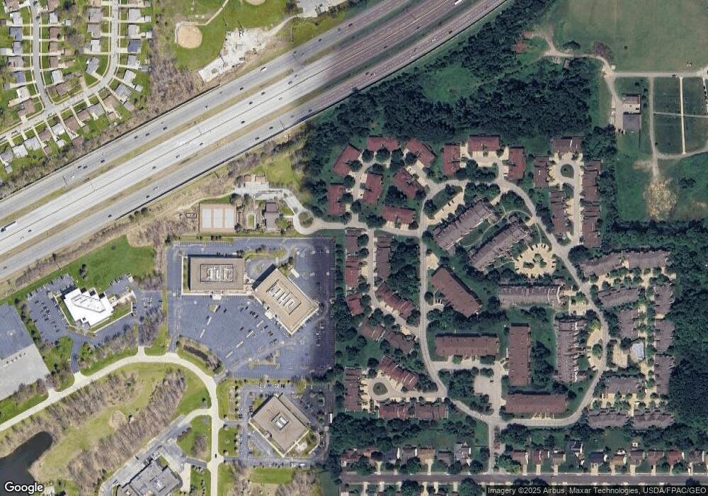
Map
Nearby Homes
- 140 Fox Hollow Dr Unit 201A
- 200 Fox Hollow Dr Unit 100
- 200 Fox Hollow Dr Unit 104
- 180 Fox Hollow Dr Unit 105
- 220 Fox Hollow Dr Unit 308
- 210 Teal Trace Unit 210
- 6344 Woodhawk Dr
- 6419 Longridge Rd
- 6464 Woodhawk Dr
- 6132 Westerham Rd
- 1604 Fruitland Ave
- 1593 Woodhurst Ave
- 1542 Woodhurst Ave
- 1520 Fruitland Ave
- 1572 Crestwood Rd
- 1637 Lander Rd
- 5960 Cantwell Dr
- 6578 Gates Mills Blvd
- 46 Bridgeport Way
- 43 Bridgeport Way
- 178 Pheasant Run Unit 178
- 180 Pheasant Run Unit 180
- 172 Pheasant Run
- 172 Pheasant Run Unit 172
- 170 Pheasant Run
- 175 Pheasant Run Unit 175TA
- 179 Pheasant Run
- 179 Pheasant Run Unit 179
- 177 Pheasant Run Unit 177
- 168 Pheasant Run Unit 168
- 168 Pheasant Run Unit 1
- 173 Pheasant Run
- 171 Pheasant Run
- 169 Pheasant Run
- 169 Pheasant Run Unit 169
- 184 Teal Trace Unit 184
- 186 Teal Trace Unit 186
- 192 Teal Trace
- 188 Teal Trace
- 190 Teal Trace