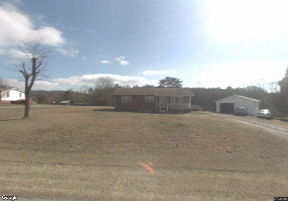
178 Preston Ln Mount Airy, NC 27030
Estimated Value: $165,000 - $213,000
3
Beds
1
Bath
1,224
Sq Ft
$149/Sq Ft
Est. Value
About This Home
This home is located at 178 Preston Ln, Mount Airy, NC 27030 and is currently estimated at $182,118, approximately $148 per square foot. 178 Preston Ln is a home located in Surry County with nearby schools including Pilot Mountain Elementary School, Pilot Mountain Middle School, and East Surry High School.
Ownership History
Date
Name
Owned For
Owner Type
Purchase Details
Closed on
Aug 4, 2021
Sold by
Lowe Cheryl A and Lowe Sara
Bought by
Cheryl Ann Lowe Irt
Current Estimated Value
Purchase Details
Closed on
Sep 27, 2018
Sold by
Lawrence Siane E
Bought by
Lowe Cheryl A
Purchase Details
Closed on
Apr 10, 2017
Sold by
Lawrence Diane Elizabeth
Bought by
Lawrence Diane Elizabeth
Create a Home Valuation Report for This Property
The Home Valuation Report is an in-depth analysis detailing your home's value as well as a comparison with similar homes in the area
Home Values in the Area
Average Home Value in this Area
Purchase History
| Date | Buyer | Sale Price | Title Company |
|---|---|---|---|
| Cheryl Ann Lowe Irt | -- | None Available | |
| Cheryl Ann Lowe Irrevocable Trust | -- | None Listed On Document | |
| Lowe Cheryl A | -- | -- | |
| Lawrence Diane Elizabeth | -- | None Available |
Source: Public Records
Tax History Compared to Growth
Tax History
| Year | Tax Paid | Tax Assessment Tax Assessment Total Assessment is a certain percentage of the fair market value that is determined by local assessors to be the total taxable value of land and additions on the property. | Land | Improvement |
|---|---|---|---|---|
| 2025 | $640 | $101,160 | $13,300 | $87,860 |
| 2024 | $520 | $76,000 | $12,350 | $63,650 |
| 2023 | $512 | $76,000 | $12,350 | $63,650 |
| 2022 | $512 | $76,000 | $12,350 | $63,650 |
| 2021 | $520 | $76,000 | $12,350 | $63,650 |
| 2020 | $503 | $70,740 | $12,350 | $58,390 |
| 2019 | $500 | $70,740 | $0 | $0 |
| 2018 | $499 | $70,740 | $0 | $0 |
| 2017 | $497 | $70,740 | $0 | $0 |
| 2016 | $497 | $70,740 | $0 | $0 |
| 2013 | -- | $72,580 | $0 | $0 |
Source: Public Records
Map
Nearby Homes
- 115 Stout Ln
- 181 Fox Walk Ln
- 138 Arthur Needham Rd
- 0 Old Us Highway 52 S
- TBD Marbury Trail
- 278 Old Us Highway 52
- TBD Eddington Ln
- TBD Ingleside Way
- 208 Holly Ave
- 177 Janice Dr
- 201 Circle View Rd
- 211 Service Rd
- 0 Chestnut Ridge Rd
- 366 Sheep Farm Rd
- 906 Long Hill Rd
- 250 High Meadow Trail
- xx Gilley Rd Unit 20.63 acres
- 00 Simmons Rd
- 205 Preston Ln
- TBD Preston Ln
- 134 Preston Ln
- 219 Preston Ln
- 236 Preston Ln
- 1153 Old Us 52 S
- 111 Preston Ln
- 1119 Old Us 52 S
- 1128 Old Us 52 S
- 1085 Old Us 52 S
- 283 Preston Ln
- 1069 Old Us Highway 52 S
- 26 Stoney Creek
- 9 Stoney Creek
- 1086 Old Us Highway 52 S
- 182 Woodcreek Dr
- 142 Peyton Place Ln
- 286 Preston Ln
- 176 Woodcreek Dr
- 190 Woodcreek Dr