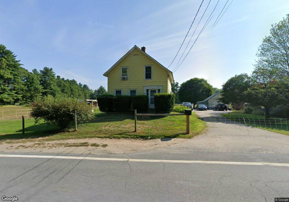
178 Warwick Rd Winchester, NH 03470
Estimated Value: $300,000 - $373,000
3
Beds
2
Baths
1,942
Sq Ft
$177/Sq Ft
Est. Value
About This Home
This home is located at 178 Warwick Rd, Winchester, NH 03470 and is currently estimated at $343,486, approximately $176 per square foot. 178 Warwick Rd is a home located in Cheshire County with nearby schools including Winchester School and Keene High School.
Ownership History
Date
Name
Owned For
Owner Type
Purchase Details
Closed on
Sep 29, 2008
Sold by
Byrne Thomas E
Bought by
Mathews Elizabeth A and Nastasi Althea E
Current Estimated Value
Home Financials for this Owner
Home Financials are based on the most recent Mortgage that was taken out on this home.
Original Mortgage
$183,126
Interest Rate
6.57%
Mortgage Type
Purchase Money Mortgage
Create a Home Valuation Report for This Property
The Home Valuation Report is an in-depth analysis detailing your home's value as well as a comparison with similar homes in the area
Home Values in the Area
Average Home Value in this Area
Purchase History
| Date | Buyer | Sale Price | Title Company |
|---|---|---|---|
| Mathews Elizabeth A | $186,000 | -- |
Source: Public Records
Mortgage History
| Date | Status | Borrower | Loan Amount |
|---|---|---|---|
| Open | Mathews Elizabeth A | $7,665 | |
| Open | Mathews Elizabeth A | $40,000 | |
| Open | Mathews Elizabeth A | $185,872 | |
| Closed | Mathews Elizabeth A | $183,126 |
Source: Public Records
Tax History Compared to Growth
Tax History
| Year | Tax Paid | Tax Assessment Tax Assessment Total Assessment is a certain percentage of the fair market value that is determined by local assessors to be the total taxable value of land and additions on the property. | Land | Improvement |
|---|---|---|---|---|
| 2024 | $4,900 | $167,508 | $59,608 | $107,900 |
| 2023 | $5,319 | $167,895 | $59,995 | $107,900 |
| 2022 | $4,837 | $168,541 | $60,641 | $107,900 |
| 2021 | $5,383 | $169,337 | $61,437 | $107,900 |
| 2020 | $4,874 | $169,425 | $61,525 | $107,900 |
| 2019 | $5,598 | $157,059 | $45,459 | $111,600 |
| 2018 | $5,457 | $157,125 | $45,525 | $111,600 |
| 2016 | $4,784 | $156,691 | $45,691 | $111,000 |
| 2015 | $4,787 | $156,525 | $45,525 | $111,000 |
| 2014 | $4,818 | $157,544 | $44,144 | $113,400 |
| 2013 | $4,824 | $156,986 | $46,186 | $110,800 |
Source: Public Records
Map
Nearby Homes
- 19 Toofs Dr
- 20 Bilo Ave
- Map 6 Lot 15-1 Off Opportunity Dr
- Map 6 Lot 15-5 Off Opportunity Dr
- 71 Parker St
- 12 Wetherby Dr
- 525 Richmond Rd
- 49 Scotland Rd
- 9 Scotland Rd
- 153 Back Ashuelot Rd
- 82 Howard St
- 240 Forest Lake Rd
- 27 Headlands Rd
- 339 Burt Hill Rd
- 45 Forest Lake Cir
- 49 Forest Lake Cir
- 406 Back Ashuelot Rd
- 0 Old Hinsdale Rd Unit 1 5052965
- 259 Bolton Rd
- 583 Burt Hill Rd