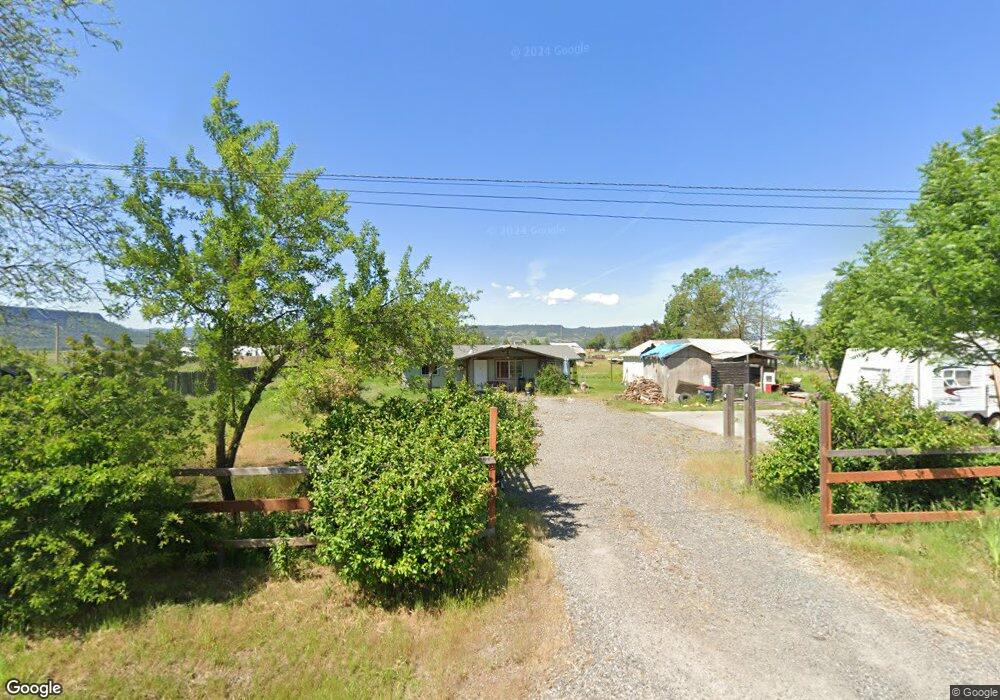
1780 Newland Rd Central Point, OR 97502
Estimated Value: $314,000 - $344,000
2
Beds
1
Bath
940
Sq Ft
$347/Sq Ft
Est. Value
About This Home
This home is located at 1780 Newland Rd, Central Point, OR 97502 and is currently estimated at $326,624, approximately $347 per square foot. 1780 Newland Rd is a home located in Jackson County with nearby schools including Jewett Elementary School, Scenic Middle School, and Crater High School.
Ownership History
Date
Name
Owned For
Owner Type
Purchase Details
Closed on
Jan 30, 2019
Sold by
Gilman Richard L and Gilman Lydia
Bought by
Straus Ranches Llc
Current Estimated Value
Purchase Details
Closed on
Oct 7, 2004
Sold by
Fish Candace L
Bought by
Gilman Richard L
Purchase Details
Closed on
Sep 30, 2004
Sold by
Bailey Gail Denise
Bought by
Fish Candace L
Purchase Details
Closed on
Sep 18, 2002
Sold by
Bailey Gail Denise
Bought by
Bailey Gail Denise
Purchase Details
Closed on
May 15, 2002
Sold by
Custer Leah Irene
Bought by
Custer Leah Irene and Leah Irene Custer Trust
Create a Home Valuation Report for This Property
The Home Valuation Report is an in-depth analysis detailing your home's value as well as a comparison with similar homes in the area
Home Values in the Area
Average Home Value in this Area
Purchase History
| Date | Buyer | Sale Price | Title Company |
|---|---|---|---|
| Straus Ranches Llc | $121,000 | None Available | |
| Gilman Richard L | $86,000 | Amerititle | |
| Fish Candace L | $86,000 | Amerititle | |
| Bailey Gail Denise | -- | -- | |
| Custer Leah Irene | -- | -- |
Source: Public Records
Mortgage History
| Date | Status | Borrower | Loan Amount |
|---|---|---|---|
| Previous Owner | Gilman Richard L | $127,000 |
Source: Public Records
Tax History Compared to Growth
Tax History
| Year | Tax Paid | Tax Assessment Tax Assessment Total Assessment is a certain percentage of the fair market value that is determined by local assessors to be the total taxable value of land and additions on the property. | Land | Improvement |
|---|---|---|---|---|
| 2025 | $1,861 | $155,220 | $78,160 | $77,060 |
| 2024 | $1,861 | $150,700 | $63,180 | $87,520 |
| 2023 | $1,799 | $146,320 | $61,340 | $84,980 |
| 2022 | $1,761 | $146,320 | $61,340 | $84,980 |
| 2021 | $1,711 | $142,060 | $59,550 | $82,510 |
| 2020 | $1,661 | $137,930 | $57,820 | $80,110 |
| 2019 | $1,623 | $130,020 | $54,500 | $75,520 |
| 2018 | $1,573 | $126,240 | $52,910 | $73,330 |
| 2017 | $1,536 | $126,240 | $52,910 | $73,330 |
| 2016 | $1,491 | $119,000 | $49,880 | $69,120 |
| 2015 | $1,718 | $119,000 | $49,880 | $69,120 |
| 2014 | $1,402 | $112,180 | $47,020 | $65,160 |
Source: Public Records
Map
Nearby Homes
- 1641 Gibbon Rd
- 6850 Downing Rd Unit 65
- 6850 Downing Rd Unit SPC 73
- 622 Raven Rd
- 6362 Harold Rd
- 225 Wilson Rd
- 5117 Gebhard Rd
- 2023 Jeremy St
- 1860 Cottonwood Dr
- 2338 Rabun Way
- 1250 Vista Dr
- 1741 River Run St
- 3524 Willow Springs Rd
- 6460 Tolo Rd
- 1210 Comet Way
- 1261 Hawk Dr
- 1242 Hawk Dr
- 4922 Gebhard Rd
- 0 Peninger Rd
- 2225 New Haven Dr
- 7293 Table Rock Terrace
- 1792 Newland Rd
- 7414 Truax Rd
- 7344 Table Rock Terrace
- 7452 Truax Rd
- 7352 Table Rock Terrace
- 1648 Newland Rd
- 7388 Table Rock Terrace
- 0 Table Rock Terrace
- 0 Table Rock Terrace
- 7516 Truax Rd
- 7426 Table Rock Terrace
- 7542 Truax Rd
- 1564 Newland Rd
- 7464 Table Rock Terrace
- 1562 Newland Rd
- 7465 Table Rock Terrace
- 7556 Truax Rd
- 7570 Truax Rd
- 1560 Newland Rd