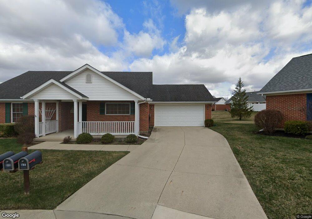
1780 Saint Andrews Ct Unit 26 Springfield, OH 45502
Estimated Value: $249,000 - $293,000
2
Beds
2
Baths
1,625
Sq Ft
$166/Sq Ft
Est. Value
About This Home
This home is located at 1780 Saint Andrews Ct Unit 26, Springfield, OH 45502 and is currently estimated at $269,759, approximately $166 per square foot. 1780 Saint Andrews Ct Unit 26 is a home located in Clark County with nearby schools including Rolling Hills Elementary School, Northridge Middle School, and Kenton Ridge Middle & High School.
Ownership History
Date
Name
Owned For
Owner Type
Purchase Details
Closed on
Aug 8, 2017
Sold by
Estate Of John A Boyd Sr
Bought by
Judge Probate
Current Estimated Value
Purchase Details
Closed on
Apr 22, 2011
Sold by
George Ruth Ann
Bought by
Boyd John A
Purchase Details
Closed on
Nov 6, 2009
Sold by
George Ruth Ann
Bought by
George Ruth Ann
Create a Home Valuation Report for This Property
The Home Valuation Report is an in-depth analysis detailing your home's value as well as a comparison with similar homes in the area
Home Values in the Area
Average Home Value in this Area
Purchase History
| Date | Buyer | Sale Price | Title Company |
|---|---|---|---|
| Judge Probate | -- | None Available | |
| Boyd John A | $137,500 | Attorney | |
| George Ruth Ann | -- | Attorney |
Source: Public Records
Tax History Compared to Growth
Tax History
| Year | Tax Paid | Tax Assessment Tax Assessment Total Assessment is a certain percentage of the fair market value that is determined by local assessors to be the total taxable value of land and additions on the property. | Land | Improvement |
|---|---|---|---|---|
| 2024 | -- | $63,310 | $10,850 | $52,460 |
| 2023 | $2,654 | $63,310 | $10,850 | $52,460 |
| 2022 | $707 | $63,310 | $10,850 | $52,460 |
| 2021 | $2,434 | $49,620 | $8,750 | $40,870 |
| 2020 | $2,437 | $49,620 | $8,750 | $40,870 |
| 2019 | $2,486 | $49,620 | $8,750 | $40,870 |
| 2018 | $2,400 | $46,300 | $8,750 | $37,550 |
| 2017 | $2,049 | $47,856 | $8,750 | $39,106 |
| 2016 | $2,034 | $47,856 | $8,750 | $39,106 |
| 2015 | $2,079 | $47,856 | $8,750 | $39,106 |
| 2014 | $2,079 | $47,856 | $8,750 | $39,106 |
| 2013 | $3,216 | $47,856 | $8,750 | $39,106 |
Source: Public Records
Map
Nearby Homes
- 1781 Pinehurst Dr
- 3500 Oakmont Ct
- 1507 Kingsgate Rd
- 1505 Kingsgate Rd
- 1503 Kingsgate Rd
- 1501 Kingsgate Rd
- 1509 Kingsgate Rd
- 3631 Kingsgate Ln
- 4050 Tacoma St
- 1922 Wedgewood Cir
- 1640 Montego Dr
- 1911 Wedgewood Cir
- 3963 Covington Dr Unit 3963
- 1148 Foxboro Rd
- 1162 Kingsgate Rd
- 4249 Reno Rd
- 2022 Westboro Ave
- 3316 Sudbury St
- 4316 Phoenix Dr
- 1780 Saint Andrews Ct
- 1790 Saint Andrews Ct Unit 25
- 1781 Saint Andrews Ct Unit 27
- 1781 Saint Andrews Ct
- 1711 Pinehurst Dr
- 1721 Pinehurst Dr Unit 20
- 1721 Pinehurst Dr
- 1721 Pinehurst Dr
- 1791 Pinehurst Dr Unit 24
- 1791 Saint Andrews Ct Unit 28
- 1771 Pinehurst Dr Unit 22
- 1731 Pinehurst Dr Unit 21
- 1800 Saint Andrews Ct Unit 34
- 1801 Saint Andrews Ct
- 1710 Pinehurst Dr
- 1720 Pinehurst Dr
- 1720 Pinehurst Dr Unit 1720
- 1720 Pinehurst Dr Unit 17
- 1790 Pinehurst Dr
- 1790 Pinehurst Dr