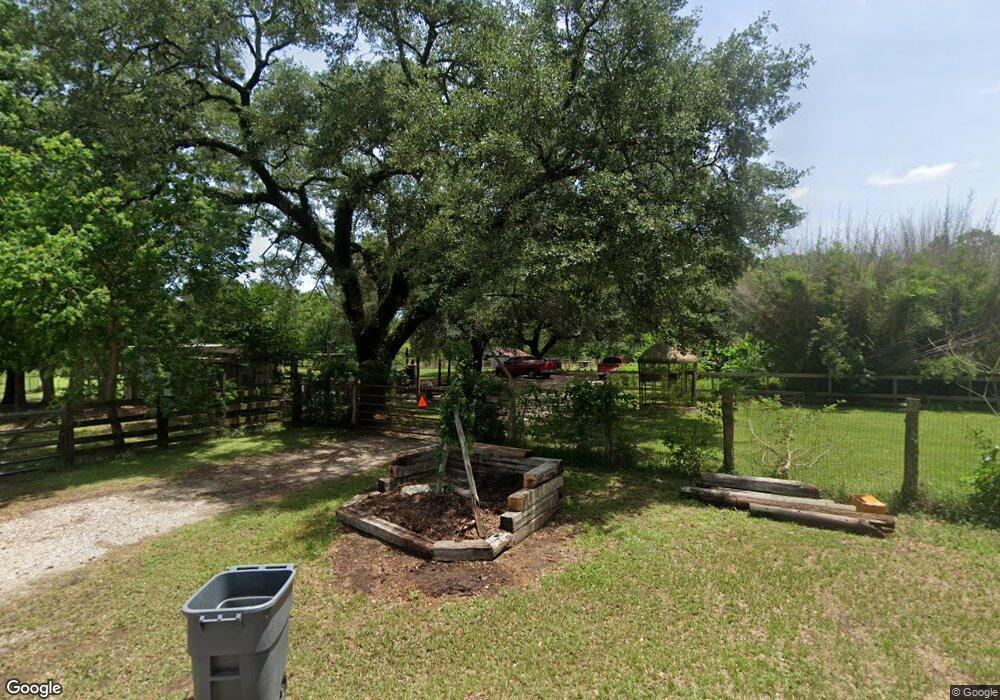
17801 Nonesuch Rd Conroe, TX 77306
Estimated Value: $195,972 - $435,000
--
Bed
--
Bath
--
Sq Ft
29.25
Acres
About This Home
This home is located at 17801 Nonesuch Rd, Conroe, TX 77306 and is currently estimated at $293,243. 17801 Nonesuch Rd is a home with nearby schools including Milam Elementary School, Moorhead Junior High School, and Caney Creek High School.
Ownership History
Date
Name
Owned For
Owner Type
Purchase Details
Closed on
Aug 5, 2011
Sold by
Maass Clinton D and Maass Janet J
Bought by
Parker Donald and Parker Melissa
Current Estimated Value
Home Financials for this Owner
Home Financials are based on the most recent Mortgage that was taken out on this home.
Original Mortgage
$88,000
Outstanding Balance
$7,250
Interest Rate
4.52%
Mortgage Type
Future Advance Clause Open End Mortgage
Estimated Equity
$285,993
Create a Home Valuation Report for This Property
The Home Valuation Report is an in-depth analysis detailing your home's value as well as a comparison with similar homes in the area
Home Values in the Area
Average Home Value in this Area
Purchase History
| Date | Buyer | Sale Price | Title Company |
|---|---|---|---|
| Parker Donald | -- | Stewart Title Of Montgomery |
Source: Public Records
Mortgage History
| Date | Status | Borrower | Loan Amount |
|---|---|---|---|
| Open | Parker Donald | $88,000 |
Source: Public Records
Tax History Compared to Growth
Tax History
| Year | Tax Paid | Tax Assessment Tax Assessment Total Assessment is a certain percentage of the fair market value that is determined by local assessors to be the total taxable value of land and additions on the property. | Land | Improvement |
|---|---|---|---|---|
| 2025 | $45 | $64,553 | -- | -- |
| 2024 | $37 | $58,685 | -- | -- |
| 2023 | $37 | $53,350 | $100,000 | $57,960 |
| 2022 | $847 | $48,500 | $100,000 | $58,090 |
| 2021 | $815 | $44,090 | $70,000 | $43,240 |
| 2020 | $779 | $40,080 | $70,000 | $43,370 |
| 2019 | $734 | $36,440 | $12,000 | $35,170 |
| 2018 | $307 | $33,130 | $12,000 | $35,240 |
| 2017 | $609 | $30,120 | $12,000 | $35,440 |
| 2016 | $553 | $27,380 | $12,000 | $35,570 |
| 2015 | $130 | $17,850 | $8,500 | $14,430 |
| 2014 | $130 | $16,230 | $8,500 | $14,430 |
Source: Public Records
Map
Nearby Homes
- 17601 Brown Rd
- 17821 Brown Rd
- 0 N Fm 3083 Unit 76220004
- 18152 Blackberry Rd
- 0 Tommy Smith Rd Unit 37185224
- 0 Tommy Smith Rd Unit 57108357
- 0000 Quinette Rd
- 18049 Martin Dr
- 15091 Fm 1485 Rd
- 15151 Robin Trail
- 14416 Sugar Pines Dr
- 14457 Leafy Ln
- 16785 Lonely Pines Dr
- 15410 Cardinal Trail
- 16953 Rich Pines Dr
- TBD Tommy Smith Rd
- 15250 Tommy Smith Rd
- 17340 Denise Rd
- 16835 Silent Pines Ct
- 15050 Cardinal Trail
- TBD Nonesuch Rd
- 17920 Nonesuch Rd
- 17984 Nonesuch Rd
- 17977 Nonesuch Rd
- 17976 Nonesuch Rd
- 17884 Nonesuch Rd
- 17863 Reinhardt Rd
- 17895 Reinhardt Rd
- 14601 Fm 1485 Rd
- 17708 Nonesuch Rd
- 14643 Fm 1485 Rd
- 17872 Brown Rd
- 17703 Nonesuch Rd
- 17930 Brown Rd
- 0 Nonesuch
- 14644 Fm 1485
- 14671 Farm To Market 1485
- 14671 Fm 1485 Rd
- 17945 Reinhardt Rd
- 14496 Fm 1485 Rd