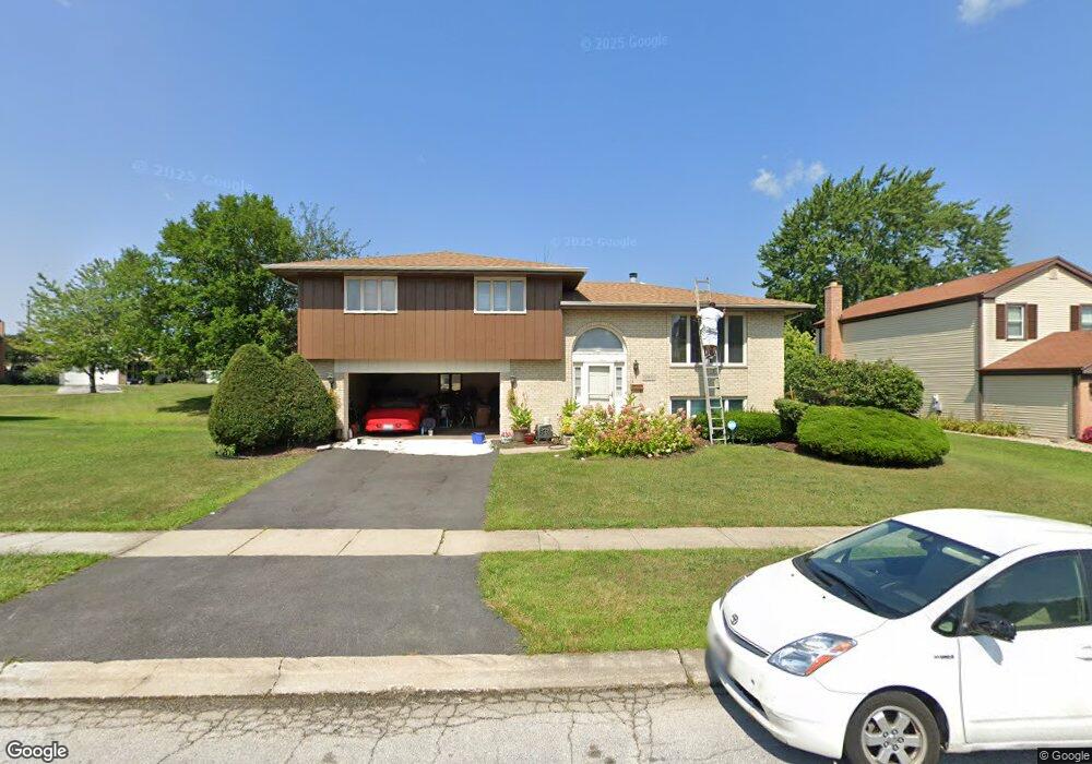
17810 Stonebridge Dr Hazel Crest, IL 60429
Stonebridge NeighborhoodEstimated Value: $237,000 - $323,000
4
Beds
3
Baths
2,408
Sq Ft
$114/Sq Ft
Est. Value
About This Home
This home is located at 17810 Stonebridge Dr, Hazel Crest, IL 60429 and is currently estimated at $275,004, approximately $114 per square foot. 17810 Stonebridge Dr is a home located in Cook County with nearby schools including Mae Jemison School, Prairie-Hills Junior High School, and Hillcrest High School.
Ownership History
Date
Name
Owned For
Owner Type
Purchase Details
Closed on
May 19, 2003
Sold by
Mimms Dana M and Mimms Lauvenia
Bought by
Mimms Dana M
Current Estimated Value
Home Financials for this Owner
Home Financials are based on the most recent Mortgage that was taken out on this home.
Original Mortgage
$132,350
Interest Rate
6.1%
Mortgage Type
Stand Alone First
Purchase Details
Closed on
May 7, 1994
Sold by
August Kevin N and August Anita L
Bought by
Mimms Dana M and Mimms Lauvenia
Home Financials for this Owner
Home Financials are based on the most recent Mortgage that was taken out on this home.
Original Mortgage
$115,000
Interest Rate
8.53%
Create a Home Valuation Report for This Property
The Home Valuation Report is an in-depth analysis detailing your home's value as well as a comparison with similar homes in the area
Home Values in the Area
Average Home Value in this Area
Purchase History
| Date | Buyer | Sale Price | Title Company |
|---|---|---|---|
| Mimms Dana M | -- | -- | |
| Mimms Dana M | $124,000 | Land Title Group |
Source: Public Records
Mortgage History
| Date | Status | Borrower | Loan Amount |
|---|---|---|---|
| Closed | Mimms Dana M | $132,350 | |
| Previous Owner | Mimms Dana M | $115,000 |
Source: Public Records
Tax History Compared to Growth
Tax History
| Year | Tax Paid | Tax Assessment Tax Assessment Total Assessment is a certain percentage of the fair market value that is determined by local assessors to be the total taxable value of land and additions on the property. | Land | Improvement |
|---|---|---|---|---|
| 2024 | $10,774 | $27,001 | $3,361 | $23,640 |
| 2023 | $6,832 | $27,001 | $3,361 | $23,640 |
| 2022 | $6,832 | $12,727 | $2,965 | $9,762 |
| 2021 | $6,649 | $12,727 | $2,965 | $9,762 |
| 2020 | $6,465 | $12,727 | $2,965 | $9,762 |
| 2019 | $6,441 | $13,049 | $2,767 | $10,282 |
| 2018 | $7,854 | $15,540 | $2,767 | $12,773 |
| 2017 | $7,374 | $15,540 | $2,767 | $12,773 |
| 2016 | $7,062 | $14,575 | $2,372 | $12,203 |
| 2015 | $6,694 | $14,575 | $2,372 | $12,203 |
| 2014 | $6,559 | $14,575 | $2,372 | $12,203 |
| 2013 | $6,091 | $15,348 | $2,372 | $12,976 |
Source: Public Records
Map
Nearby Homes
- 3111 Smoke Tree Ct
- 17910 Millstone Rd
- 2908 Buttonwood Walk
- 17804 Pebblewood Ln
- 5 E Carriageway Dr Unit 210
- 17622 Oakwood Dr
- 7 E Carriageway Dr Unit 311
- 17714 Dogwood Ln
- 17803 Dogwood Ln
- 17805 Dogwood Ln
- 17613 Grandview Dr
- 3407 Fountainbleau Dr
- 2805 Knollwood Place
- 17405 Longfellow Ave
- 18106 Charlemagne Ave
- 18120 Versailles Ln
- 3411 Montmarte Ave
- 17922 Normandy Ln
- 3400 Seine Ct
- 2912 175th St
- 17811 Tanglewood Ct
- 17808 Stonebridge Dr
- 17812 Stonebridge Dr
- 17809 Tanglewood Ct
- 17809 Tanglewood Ct
- 17806 Stonebridge Dr
- 17813 Stonebridge Dr
- 17811 Stonebridge Dr
- 17815 Stonebridge Dr
- 17807 Tanglewood Ct
- 17809 Stonebridge Dr
- 17817 Stonebridge Dr
- 17804 Stonebridge Dr
- 17814 Tanglewood Ct
- 17812 Tanglewood Ct
- 17807 Stonebridge Dr
- 17816 Tanglewood Ct
- 17805 Tanglewood Ct
- 17810 Tanglewood Ct
- 17819 Stonebridge Dr