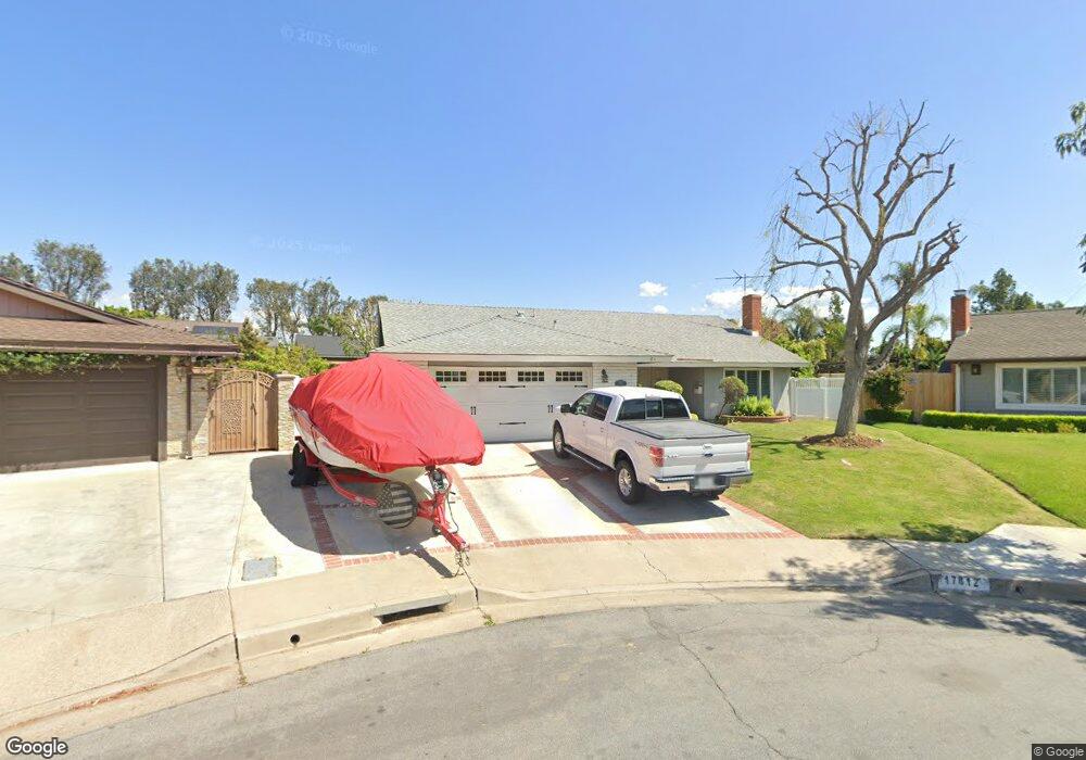
17812 Christie Dr Yorba Linda, CA 92886
Estimated Value: $1,313,000 - $1,347,323
4
Beds
2
Baths
1,886
Sq Ft
$703/Sq Ft
Est. Value
About This Home
This home is located at 17812 Christie Dr, Yorba Linda, CA 92886 and is currently estimated at $1,325,581, approximately $702 per square foot. 17812 Christie Dr is a home located in Orange County with nearby schools including Rose Drive Elementary, Yorba Linda Middle School, and El Dorado High School.
Ownership History
Date
Name
Owned For
Owner Type
Purchase Details
Closed on
Jul 16, 2019
Sold by
Hoover Randall and Hoover Krisjan
Bought by
Hoover Randall and Hoover Krisjan
Current Estimated Value
Purchase Details
Closed on
May 11, 2000
Sold by
Duane Downs and May Ida May
Bought by
Hoover Randall L and Hoover Krisjan L B
Home Financials for this Owner
Home Financials are based on the most recent Mortgage that was taken out on this home.
Original Mortgage
$284,000
Interest Rate
8.67%
Create a Home Valuation Report for This Property
The Home Valuation Report is an in-depth analysis detailing your home's value as well as a comparison with similar homes in the area
Home Values in the Area
Average Home Value in this Area
Purchase History
| Date | Buyer | Sale Price | Title Company |
|---|---|---|---|
| Hoover Randall | -- | None Available | |
| Hoover Randall L | $355,000 | Old Republic Title Company |
Source: Public Records
Mortgage History
| Date | Status | Borrower | Loan Amount |
|---|---|---|---|
| Previous Owner | Hoover Randall L | $284,000 |
Source: Public Records
Tax History Compared to Growth
Tax History
| Year | Tax Paid | Tax Assessment Tax Assessment Total Assessment is a certain percentage of the fair market value that is determined by local assessors to be the total taxable value of land and additions on the property. | Land | Improvement |
|---|---|---|---|---|
| 2025 | $6,390 | $561,134 | $409,783 | $151,351 |
| 2024 | $6,390 | $550,132 | $401,748 | $148,384 |
| 2023 | $6,272 | $539,346 | $393,871 | $145,475 |
| 2022 | $6,205 | $528,771 | $386,148 | $142,623 |
| 2021 | $6,092 | $518,403 | $378,576 | $139,827 |
| 2020 | $5,992 | $513,088 | $374,694 | $138,394 |
| 2019 | $5,782 | $503,028 | $367,347 | $135,681 |
| 2018 | $5,708 | $493,165 | $360,144 | $133,021 |
| 2017 | $5,615 | $483,496 | $353,083 | $130,413 |
| 2016 | $5,502 | $474,016 | $346,160 | $127,856 |
| 2015 | $5,434 | $466,896 | $340,960 | $125,936 |
| 2014 | $5,273 | $457,751 | $334,281 | $123,470 |
Source: Public Records
Map
Nearby Homes
- 17781 Lerene Dr
- 4845 Eisenhower Ct
- 4891 Eureka Ave Unit 25
- 18044 Burke Ln
- 18083 Burke Ln
- 5141 Siesta Ln
- 4302 Eureka Ave
- 5231 Highland Ave
- 18302 Piper Place
- 5130 Webb Place
- 18141 Bastanchury Rd
- 5152 Lakeview Ave
- 4317 Canyon Coral Ln
- 4760 Lakeview Ave
- 4788 Lakeview Ave Unit 48
- 17841 Buena Vista Ave
- 18534 Cobblestone Ct
- 18118 Joel Brattain Dr
- 4951 Oak Tree Ct
- 17842 Caballo Dr
- 17802 Christie Dr
- 4761 Wisteria Dr
- 4781 Wisteria Dr
- 17811 Christie Dr
- 4751 Wisteria Dr
- 17792 Christie Dr
- 4791 Wisteria Dr
- 17801 Christie Dr
- 17852 Lerene Dr
- 17832 Lerene Dr
- 17791 Christie Dr
- 17782 Christie Dr
- 4772 Wisteria Dr
- 17831 Monterey Cir
- 17812 Lerene Dr
- 4741 Wisteria Dr
- 17841 Monterey Cir
- 17781 Christie Dr
- 17852 Meadowview Dr
- 17772 Christie Dr