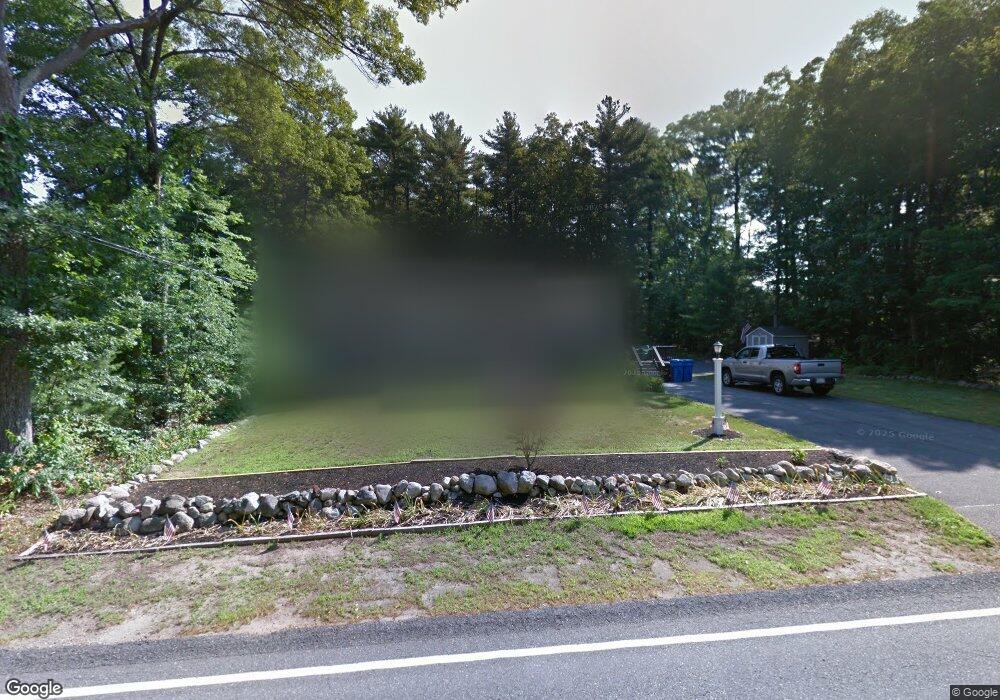
1782 West St Wrentham, MA 02093
West Wrentham NeighborhoodEstimated Value: $555,000 - $581,000
3
Beds
2
Baths
1,530
Sq Ft
$372/Sq Ft
Est. Value
About This Home
This home is located at 1782 West St, Wrentham, MA 02093 and is currently estimated at $569,449, approximately $372 per square foot. 1782 West St is a home located in Norfolk County with nearby schools including Delaney Elementary School, Charles E Roderick, and Mercymount Country Day School.
Ownership History
Date
Name
Owned For
Owner Type
Purchase Details
Closed on
Mar 16, 2007
Sold by
Mary Cameron John V and Mary Elizabeth-Cameron
Bought by
Ghostlaw Amanda L and Ghostlaw Wayne
Current Estimated Value
Home Financials for this Owner
Home Financials are based on the most recent Mortgage that was taken out on this home.
Original Mortgage
$242,500
Interest Rate
6.4%
Mortgage Type
Purchase Money Mortgage
Purchase Details
Closed on
Oct 21, 1992
Sold by
Piazza Christopher
Bought by
Cameron John V and Cameron Mary Eliz
Create a Home Valuation Report for This Property
The Home Valuation Report is an in-depth analysis detailing your home's value as well as a comparison with similar homes in the area
Home Values in the Area
Average Home Value in this Area
Purchase History
| Date | Buyer | Sale Price | Title Company |
|---|---|---|---|
| Ghostlaw Amanda L | $285,000 | -- | |
| Cameron John V | $121,500 | -- |
Source: Public Records
Mortgage History
| Date | Status | Borrower | Loan Amount |
|---|---|---|---|
| Open | Cameron John V | $233,600 | |
| Closed | Cameron John V | $237,000 | |
| Closed | Cameron John V | $242,500 |
Source: Public Records
Tax History
| Year | Tax Paid | Tax Assessment Tax Assessment Total Assessment is a certain percentage of the fair market value that is determined by local assessors to be the total taxable value of land and additions on the property. | Land | Improvement |
|---|---|---|---|---|
| 2025 | $5,365 | $462,900 | $241,700 | $221,200 |
| 2024 | $4,930 | $410,800 | $241,700 | $169,100 |
| 2023 | $4,650 | $368,500 | $219,700 | $148,800 |
| 2022 | $4,821 | $352,700 | $213,600 | $139,100 |
| 2021 | $4,675 | $332,300 | $199,600 | $132,700 |
| 2020 | $3,932 | $275,900 | $152,400 | $123,500 |
| 2019 | $3,651 | $258,600 | $137,100 | $121,500 |
| 2018 | $3,823 | $268,500 | $137,200 | $131,300 |
| 2017 | $3,597 | $252,400 | $134,500 | $117,900 |
| 2016 | $3,537 | $247,700 | $130,600 | $117,100 |
| 2015 | $3,574 | $238,600 | $139,500 | $99,100 |
| 2014 | $3,518 | $229,800 | $134,200 | $95,600 |
Source: Public Records
Map
Nearby Homes
- 1620 West St
- 10 Follett Dr
- 60 Grant Ave
- 9 Reagan Ave
- 900 Washington St Lot 2
- 25 Nature View Dr
- 172 Pine Swamp Rd
- 180 Pine Swamp Rd
- 56 Pine Swamp Rd
- 365 W Wrentham Rd
- 20 Nature View Dr
- 925 Washington St
- 1 Spring St
- 47 Austin Dr
- 9 Pebble Cir Unit 9
- 11 Amber Dr
- 9 Brookfield Ln
- 23 Palmetto Dr Unit 23
- 21 Palmetto Dr Unit 21
- 24 Palmetto Dr Unit 24
Your Personal Tour Guide
Ask me questions while you tour the home.