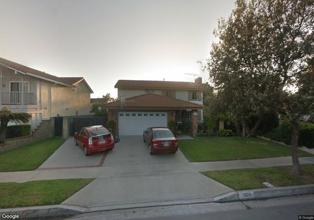
17825 Kay Ct Cerritos, CA 90703
Estimated Value: $1,230,000 - $1,461,000
4
Beds
3
Baths
2,160
Sq Ft
$619/Sq Ft
Est. Value
About This Home
This home is located at 17825 Kay Ct, Cerritos, CA 90703 and is currently estimated at $1,336,832, approximately $618 per square foot. 17825 Kay Ct is a home located in Los Angeles County with nearby schools including Cecil B. Stowers Elementary School, Carmenita Middle School, and Cerritos High School.
Ownership History
Date
Name
Owned For
Owner Type
Purchase Details
Closed on
Apr 1, 2008
Sold by
Lim Pete Ho
Bought by
Lim Pete Ho and Lim Shu Hung
Current Estimated Value
Purchase Details
Closed on
Nov 2, 1998
Sold by
Cheng Chun Shin
Bought by
Lim Pete Ho and Lim Shu Hung
Home Financials for this Owner
Home Financials are based on the most recent Mortgage that was taken out on this home.
Original Mortgage
$288,000
Outstanding Balance
$62,974
Interest Rate
6.61%
Estimated Equity
$1,273,858
Create a Home Valuation Report for This Property
The Home Valuation Report is an in-depth analysis detailing your home's value as well as a comparison with similar homes in the area
Home Values in the Area
Average Home Value in this Area
Purchase History
| Date | Buyer | Sale Price | Title Company |
|---|---|---|---|
| Lim Pete Ho | -- | None Available | |
| Lim Pete Ho | -- | None Available | |
| Lim Pete Ho | $362,000 | Commonwealth Land Title Co |
Source: Public Records
Mortgage History
| Date | Status | Borrower | Loan Amount |
|---|---|---|---|
| Open | Lim Pete Ho | $288,000 |
Source: Public Records
Tax History
| Year | Tax Paid | Tax Assessment Tax Assessment Total Assessment is a certain percentage of the fair market value that is determined by local assessors to be the total taxable value of land and additions on the property. | Land | Improvement |
|---|---|---|---|---|
| 2025 | $6,822 | $567,490 | $235,144 | $332,346 |
| 2024 | $6,822 | $556,364 | $230,534 | $325,830 |
| 2023 | $6,600 | $545,456 | $226,014 | $319,442 |
| 2022 | $6,499 | $534,762 | $221,583 | $313,179 |
| 2021 | $6,342 | $524,278 | $217,239 | $307,039 |
| 2019 | $6,195 | $508,730 | $210,797 | $297,933 |
| 2018 | $5,727 | $498,756 | $206,664 | $292,092 |
| 2016 | $5,490 | $479,390 | $198,640 | $280,750 |
| 2015 | $5,420 | $472,190 | $195,657 | $276,533 |
| 2014 | $5,312 | $462,942 | $191,825 | $271,117 |
Source: Public Records
Map
Nearby Homes
- 13202 Carolyn St
- 13010 Artesia Blvd
- 13011 Hart Place
- 17105 Holmes Cir
- 18622 Kamstra Ave
- 13506 Darvalle St
- 18727 Holmes Ave
- 13626 Aclare Ln
- 17405 Jasmine Way
- 12524 Bryce Cir
- 16602 Yvette Way
- 16604 Cobblestone Ct
- 12525 Semora St
- 12703 Park St
- 16918 Chaparral Ave Unit 27
- 18704 Stefani Ave
- 13026 San Salvador Place
- 16902 Chaparral Ave
- 16818 Chaparral Ave
- 16630 Shenandoah Ave
Your Personal Tour Guide
Ask me questions while you tour the home.