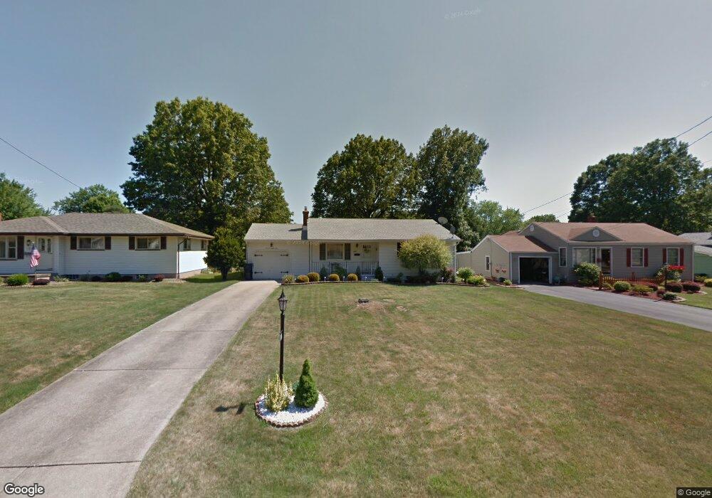
1783 Basil Ave Youngstown, OH 44514
Estimated Value: $161,000 - $178,810
3
Beds
2
Baths
1,272
Sq Ft
$134/Sq Ft
Est. Value
About This Home
This home is located at 1783 Basil Ave, Youngstown, OH 44514 and is currently estimated at $170,703, approximately $134 per square foot. 1783 Basil Ave is a home located in Mahoning County with nearby schools including Paul C. Bunn Elementary School, Chaney High School, and The Montessori School of the Mahoning Valley.
Ownership History
Date
Name
Owned For
Owner Type
Purchase Details
Closed on
Aug 5, 2009
Sold by
Grieco Anthony R and Grieco Patricia A
Bought by
Grieco Daniel and Grieco Elsie R
Current Estimated Value
Purchase Details
Closed on
Aug 3, 2009
Sold by
Grieco Daniel and Grieco Patricia Ann
Bought by
Grieco Daniel and Grieco Elsie R
Purchase Details
Closed on
Oct 28, 2005
Sold by
Grieco Daniel and Grieco Elsie R
Bought by
Mchattie Mary Ann
Purchase Details
Closed on
Apr 30, 2004
Sold by
Volpe Antoinette and Lalama Emilio
Bought by
Zall John
Purchase Details
Closed on
May 7, 1985
Bought by
Volpe Antonietta D
Create a Home Valuation Report for This Property
The Home Valuation Report is an in-depth analysis detailing your home's value as well as a comparison with similar homes in the area
Home Values in the Area
Average Home Value in this Area
Purchase History
| Date | Buyer | Sale Price | Title Company |
|---|---|---|---|
| Grieco Daniel | -- | Attorney | |
| Grieco Daniel | -- | Attorney | |
| Mchattie Mary Ann | -- | -- | |
| Zall John | $72,000 | -- | |
| Volpe Antonietta D | -- | -- |
Source: Public Records
Tax History
| Year | Tax Paid | Tax Assessment Tax Assessment Total Assessment is a certain percentage of the fair market value that is determined by local assessors to be the total taxable value of land and additions on the property. | Land | Improvement |
|---|---|---|---|---|
| 2025 | $1,840 | $47,000 | $5,870 | $41,130 |
| 2024 | $2,106 | $47,000 | $5,870 | $41,130 |
| 2023 | $2,127 | $47,000 | $5,870 | $41,130 |
| 2022 | $1,533 | $29,150 | $5,700 | $23,450 |
| 2021 | $1,533 | $29,150 | $5,700 | $23,450 |
| 2020 | $1,540 | $29,150 | $5,700 | $23,450 |
| 2019 | $1,446 | $25,130 | $4,910 | $20,220 |
| 2018 | $1,352 | $25,130 | $4,910 | $20,220 |
| 2017 | $1,313 | $25,130 | $4,910 | $20,220 |
| 2016 | $1,294 | $25,650 | $6,010 | $19,640 |
| 2015 | $1,271 | $25,650 | $6,010 | $19,640 |
| 2014 | -- | $25,650 | $6,010 | $19,640 |
| 2013 | $1,884 | $25,650 | $6,010 | $19,640 |
Source: Public Records
Map
Nearby Homes
- 1750 Halbert Dr
- 1737 Halbert Dr
- 1870 Basil Ave
- 0 Lemoyne Ave
- 0 Woodlawn Ave
- 0 Oles Ave
- 5425 Sheridan Rd
- 1926 Brandon Ave
- 1933 Brandon Ave
- 0 Mathews Rd Unit 5149232
- 0 Mathews Rd Unit 5143059
- 1514 Thalia Ave
- 5007 Sheridan Rd
- 1913 Country Club Ave
- 1654 Thalia Ave
- 1928 Palo Verde Dr
- 5710 Youngstown Poland Rd
- 895 Cook Ave
- 850 Afton Ave
- 1634 Meadowbrook Ave
- 1787 Basil Ave
- 1779 Basil Ave
- 1775 Basil Ave
- 1791 Basil Ave
- 1769 Basil Ave
- 1782 Halbert Dr
- 1795 Basil Ave
- 1774 Halbert Dr
- 1790 Halbert Dr
- 1766 Halbert Dr
- 1782 Basil Ave
- 1778 Basil Ave
- 1786 Basil Ave
- 1763 Basil Ave
- 1774 Basil Ave
- 1758 Halbert Dr
- 1799 Basil Ave
- 1790 Basil Ave
- 1768 Basil Ave
- 1806 Halbert Dr
Your Personal Tour Guide
Ask me questions while you tour the home.