1783 E Main St Columbus, OH 43205
South of Main Neighborhood
Studio
1
Bath
1,350
Sq Ft
3,920
Sq Ft Lot
About This Home
This home is located at 1783 E Main St, Columbus, OH 43205. 1783 E Main St is a home located in Franklin County with nearby schools including Ohio Avenue Elementary School, Champion Middle School, and East High School.
Ownership History
Date
Name
Owned For
Owner Type
Purchase Details
Closed on
Aug 10, 2015
Sold by
Lane Freddie L and Woods Cvoe Iii Llc
Bought by
Swapnam Enterprises Llc
Purchase Details
Closed on
Feb 12, 2014
Sold by
Lane Freddie L and Lane Mary L
Bought by
Lane Realty And Associates Llc
Purchase Details
Closed on
Apr 14, 2005
Sold by
Lane Freddie and Lane Mary L
Bought by
Lane Freddie L and Lane Mary L
Purchase Details
Closed on
Jan 16, 1973
Bought by
Lane Freddie L
Create a Home Valuation Report for This Property
The Home Valuation Report is an in-depth analysis detailing your home's value as well as a comparison with similar homes in the area
Home Values in the Area
Average Home Value in this Area
Purchase History
| Date | Buyer | Sale Price | Title Company |
|---|---|---|---|
| Swapnam Enterprises Llc | $15,940 | Attorney | |
| Lane Realty And Associates Llc | -- | None Available | |
| Lane Freddie L | -- | Preferred T | |
| Lane Freddie L | -- | -- |
Source: Public Records
Tax History
| Year | Tax Paid | Tax Assessment Tax Assessment Total Assessment is a certain percentage of the fair market value that is determined by local assessors to be the total taxable value of land and additions on the property. | Land | Improvement |
|---|---|---|---|---|
| 2025 | $4,217 | $24,860 | $6,690 | $18,170 |
| 2024 | $4,217 | $24,860 | $6,690 | $18,170 |
| 2023 | $1,958 | $24,850 | $6,685 | $18,165 |
| 2022 | $1,703 | $15,050 | $4,410 | $10,640 |
| 2021 | $1,203 | $15,050 | $4,410 | $10,640 |
| 2020 | $1,251 | $15,050 | $4,410 | $10,640 |
| 2019 | $1,697 | $13,650 | $3,990 | $9,660 |
| 2018 | $1,201 | $13,650 | $3,990 | $9,660 |
| 2017 | $1,808 | $13,650 | $3,990 | $9,660 |
| 2016 | $1,373 | $14,000 | $3,990 | $10,010 |
| 2015 | $964 | $14,000 | $3,990 | $10,010 |
| 2014 | $1,131 | $14,000 | $3,990 | $10,010 |
| 2013 | $675 | $14,000 | $3,990 | $10,010 |
Source: Public Records
Map
Nearby Homes
- 1779 E Main St
- 572 Bulen Ave
- 1707 E Main St Unit 1705
- 592 Rhoads Ave Unit 594
- 423 Stoddart Ave
- 422-424 Morrison Ave
- 409-411 Morrison Ave
- 1614 E Fulton St
- 623 Seymour Ave
- 389-391 Berkeley Rd
- 377 Berkeley Rd
- 1847 Oak St
- 547 Berkeley Rd
- 604 Berkeley Rd
- 731 Bulen Ave
- 489 Lilley Ave
- 1555 E Rich St Unit 557
- 1714 Oak St
- 518 Kelton Ave Unit 45
- 522 Kelton Ave
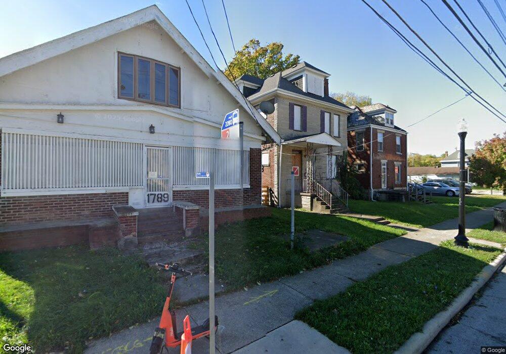
- 1789 E Main St
- 503 Bulen Ave
- 1773 E Main St
- 507 Bulen Ave
- 1799 E Main St Unit 801
- 513 Bulen Ave
- 506 Bulen Ave
- 1755 E Main St
- 516 Bulen Ave
- 521 Bulen Ave
- 1772 E Main St Unit 774
- 1805 E Main St
- 1760 E Main St
- 525 Bulen Ave
- 1751 E Main St
- 1761 Mcallister Ave
- 1752 E Main St Unit 754
- 1774 E Main St
- 1810 E Main St
- 529 Bulen Ave
Your Personal Tour Guide
Ask me questions while you tour the home.