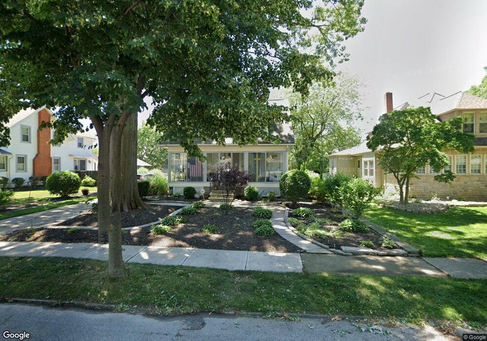
17830 Landseer Rd Cleveland, OH 44119
North Collinwood NeighborhoodEstimated Value: $127,000 - $174,000
3
Beds
2
Baths
1,155
Sq Ft
$131/Sq Ft
Est. Value
About This Home
This home is located at 17830 Landseer Rd, Cleveland, OH 44119 and is currently estimated at $151,008, approximately $130 per square foot. 17830 Landseer Rd is a home located in Cuyahoga County with nearby schools including Bolton, Andrew J. Rickoff School, and Anton Grdina School.
Ownership History
Date
Name
Owned For
Owner Type
Purchase Details
Closed on
Jul 25, 1998
Sold by
Grills John J and Zaite Andrea M
Bought by
Anderson Carol M
Current Estimated Value
Home Financials for this Owner
Home Financials are based on the most recent Mortgage that was taken out on this home.
Original Mortgage
$99,800
Interest Rate
6.71%
Purchase Details
Closed on
Jul 21, 1994
Sold by
Mckeon William J
Bought by
Rogers Michael J
Home Financials for this Owner
Home Financials are based on the most recent Mortgage that was taken out on this home.
Original Mortgage
$68,000
Interest Rate
8.38%
Mortgage Type
New Conventional
Purchase Details
Closed on
Mar 17, 1989
Sold by
Salosky Elizabeth E
Bought by
Grills John J
Purchase Details
Closed on
Jan 24, 1977
Sold by
Salosky Joseph and Salosky Elizabeth
Bought by
Salosky Elizabeth E
Purchase Details
Closed on
Jan 1, 1975
Bought by
Salosky Joseph and Salosky Elizabeth
Create a Home Valuation Report for This Property
The Home Valuation Report is an in-depth analysis detailing your home's value as well as a comparison with similar homes in the area
Home Values in the Area
Average Home Value in this Area
Purchase History
| Date | Buyer | Sale Price | Title Company |
|---|---|---|---|
| Anderson Carol M | $70,000 | Commonwealth/Central City Ti | |
| Rogers Michael J | $93,000 | -- | |
| Grills John J | $64,900 | -- | |
| Salosky Elizabeth E | -- | -- | |
| Salosky Joseph | -- | -- |
Source: Public Records
Mortgage History
| Date | Status | Borrower | Loan Amount |
|---|---|---|---|
| Closed | Anderson Carol M | $99,800 | |
| Previous Owner | Rogers Michael J | $68,000 |
Source: Public Records
Tax History Compared to Growth
Tax History
| Year | Tax Paid | Tax Assessment Tax Assessment Total Assessment is a certain percentage of the fair market value that is determined by local assessors to be the total taxable value of land and additions on the property. | Land | Improvement |
|---|---|---|---|---|
| 2024 | $2,680 | $50,680 | $12,635 | $38,045 |
| 2023 | $1,959 | $35,000 | $9,660 | $25,340 |
| 2022 | $1,980 | $35,000 | $9,660 | $25,340 |
| 2021 | $1,960 | $35,000 | $9,660 | $25,340 |
| 2020 | $1,896 | $30,700 | $8,470 | $22,230 |
| 2019 | $1,753 | $87,700 | $24,200 | $63,500 |
| 2018 | $873 | $30,700 | $8,470 | $22,230 |
| 2017 | $1,271 | $24,160 | $7,600 | $16,560 |
| 2016 | $1,261 | $24,160 | $7,600 | $16,560 |
| 2015 | $1,260 | $24,160 | $7,600 | $16,560 |
| 2014 | $1,052 | $21,560 | $6,790 | $14,770 |
Source: Public Records
Map
Nearby Homes
- 17930 Rosecliff Rd
- 17710 Crestland Rd
- 18225 Landseer Rd
- 17812 E Park Dr
- 18715 Mohawk Ave
- 18806 Mohawk Ave
- 18606 Cherokee Ave
- 18111 Marcella Rd
- 17610 Wildwood Ln Unit 315
- 19326 Tyronne Ave
- 19400 Meredith Ave
- 19450 Naumann Ave
- 17639 Wildwood Ln Unit 17639
- 17633 Wildwood Ln Unit 311
- 130 E 191st St
- 18404 Neff Rd
- 18707 Shawnee Ave
- 165 E 192nd St
- 19511 Muskoka Ave
- 19409 Cherokee Ave
- 17838 Landseer Rd
- 17824 Landseer Rd
- 17817 Windward Rd
- 17902 Landseer Rd
- 17818 Landseer Rd
- 17825 Windward Rd
- 17813 Windward Rd
- 17831 Landseer Rd
- 17837 Landseer Rd
- 17827 Landseer Rd
- 17831 Windward Rd
- 17910 Landseer Rd
- 17901 Landseer Rd
- 17823 Landseer Rd
- 17816 Landseer Rd
- 17835 Windward Rd
- 17801 Windward Rd
- 17819 Landseer Rd
- 17909 Landseer Rd
- 17839 Windward Rd