17835 Highway 10 Little Falls, MN 56345
Estimated Value: $210,000 - $278,000
3
Beds
1
Bath
840
Sq Ft
$275/Sq Ft
Est. Value
About This Home
This home is located at 17835 Highway 10, Little Falls, MN 56345 and is currently estimated at $231,194, approximately $275 per square foot. 17835 Highway 10 is a home located in Morrison County with nearby schools including Little Falls Senior High School, Mary of Lourdes School, and Mary of Lourdes Elementary.
Ownership History
Date
Name
Owned For
Owner Type
Purchase Details
Closed on
Oct 25, 2017
Sold by
Ososki Edward and Ososki Dorothy
Bought by
Barto Jessica J
Current Estimated Value
Home Financials for this Owner
Home Financials are based on the most recent Mortgage that was taken out on this home.
Original Mortgage
$104,500
Outstanding Balance
$87,520
Interest Rate
3.83%
Mortgage Type
New Conventional
Estimated Equity
$143,674
Create a Home Valuation Report for This Property
The Home Valuation Report is an in-depth analysis detailing your home's value as well as a comparison with similar homes in the area
Home Values in the Area
Average Home Value in this Area
Purchase History
| Date | Buyer | Sale Price | Title Company |
|---|---|---|---|
| Barto Jessica J | $110,000 | None Available |
Source: Public Records
Mortgage History
| Date | Status | Borrower | Loan Amount |
|---|---|---|---|
| Open | Barto Jessica J | $104,500 |
Source: Public Records
Tax History Compared to Growth
Tax History
| Year | Tax Paid | Tax Assessment Tax Assessment Total Assessment is a certain percentage of the fair market value that is determined by local assessors to be the total taxable value of land and additions on the property. | Land | Improvement |
|---|---|---|---|---|
| 2025 | $1,166 | $171,300 | $83,000 | $88,300 |
| 2024 | $1,190 | $163,900 | $72,000 | $91,900 |
| 2023 | $1,186 | $148,900 | $58,400 | $90,500 |
| 2022 | $1,028 | $146,500 | $58,400 | $88,100 |
| 2021 | $958 | $115,000 | $52,400 | $62,600 |
| 2020 | $1,046 | $345,000 | $157,200 | $187,800 |
| 2019 | $1,036 | $119,000 | $52,400 | $66,600 |
| 2018 | $838 | $111,900 | $52,400 | $59,500 |
| 2017 | $836 | $95,200 | $50,400 | $44,800 |
| 2016 | $762 | $0 | $0 | $0 |
| 2014 | $730 | $0 | $0 | $0 |
| 2013 | $730 | $0 | $0 | $0 |
Source: Public Records
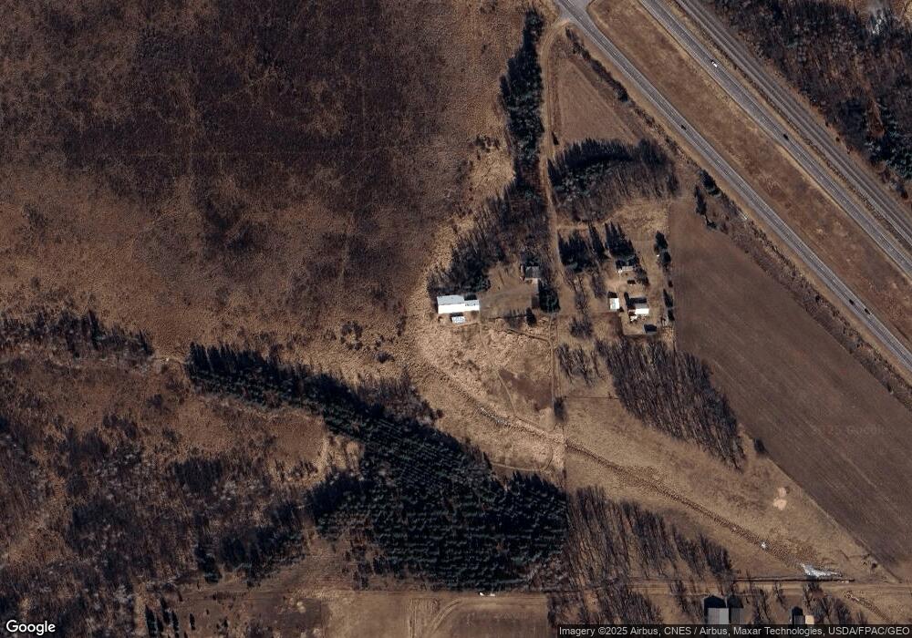
Map
Nearby Homes
- TBD Grouse Ct
- 16584 W River Rd
- 710 13th St NW
- 11712 Highway 27
- 15025 115th Ave
- 807 Lindbergh Dr NW
- 14535 Park Ave
- 10836 153rd St
- 17639 Gayle Dr
- 16941 Grove St
- 12781 Highway 27
- 14695 Prairie Dr
- 18791 Grouse Rd
- 14755 Ryan St
- 304 6th St NW
- Block 2 Lot 2 Weston Cir
- 1202 1st Ave SW
- Block 2 Lot 3 Weston Cir
- Block 3 Lot 1 Weston Cir
- 310 4th St NW
- 17851 Highway 10
- 17515 Highway 10
- 17513 Highway 10
- 12261 180th St
- 12379 180th St
- 12112 180th St
- 17991 Highway 10
- 12234 180th St
- 12326 180th St
- 12395 180th St
- 12498 180th St
- 11776 170th St
- 18097 125th Ave
- 12757 180th St
- 12641 180th St
- 11584 170th St
- 12761 180th St
- 16942 120th Ave
- 11512 170th St
- 12875 180th St